Download
Preview
Add to list
More
10.9 km
~2 hrs 30 min
197 m
Loop
“Explore North Yorkshire's stunning 11 km Thurtle and Cum Hag Woods Loop, rich in flora, fauna, and history.”
Starting near North Yorkshire, England, the Thurtle Wood and Cum Hag Wood Loop is a captivating 11 km (approximately 6.8 miles) trail with an elevation gain of around 100 meters (328 feet). This loop trail is estimated to be of medium difficulty, making it suitable for moderately experienced hikers.
Getting There
To reach the trailhead, you can drive or use public transport. If driving, set your GPS to the nearest known address: Thurtle Wood, North Yorkshire. For those relying on public transport, the closest significant landmark is the town of Pickering. From Pickering, you can take a local bus or taxi to the trailhead.
Trail Overview
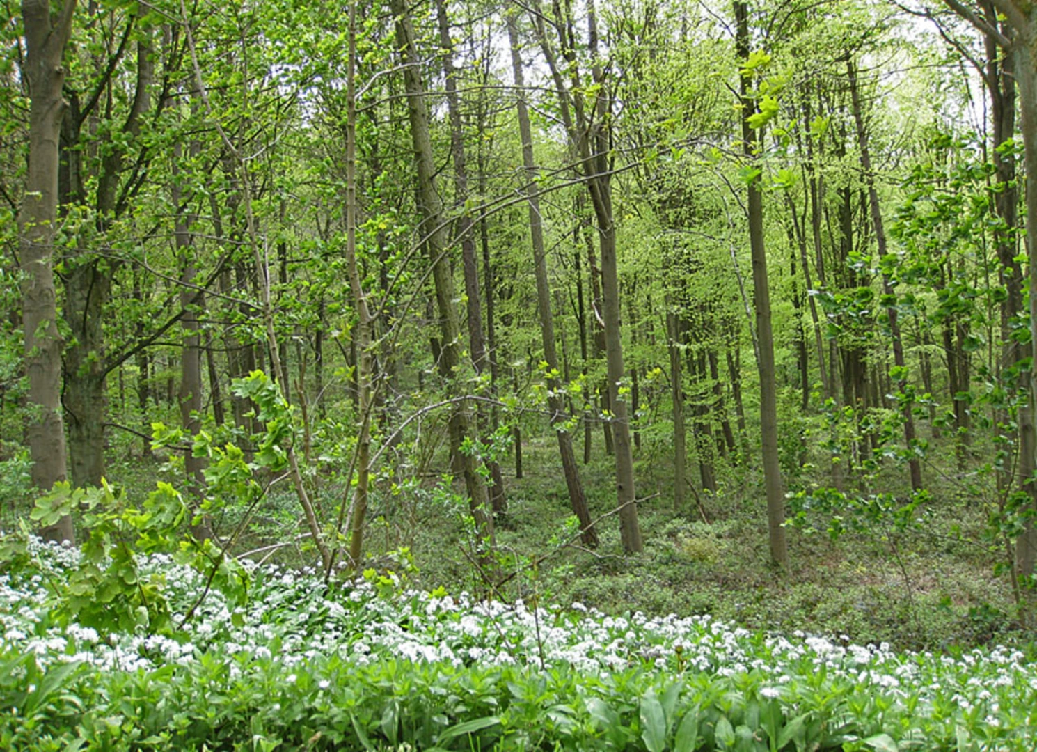
The trail begins with a gentle ascent through Thurtle Wood, where you will be greeted by a dense canopy of ancient oak and beech trees. This section is relatively flat, making it a good warm-up for the more challenging parts ahead. As you proceed, the path meanders through a mix of deciduous and coniferous woodland, offering a rich tapestry of flora and fauna.
Key Landmarks and Points of Interest
#### Thurtle Wood
At approximately 2 km (1.2 miles) into the hike, you will come across a small clearing in Thurtle Wood. This is an excellent spot to take a short break and enjoy the serene surroundings. Keep an eye out for native wildlife such as deer, foxes, and a variety of bird species, including woodpeckers and owls.
#### Cum Hag Wood
Around the 5 km (3.1 miles) mark, you will enter Cum Hag Wood. This section of the trail is slightly more challenging due to its steeper inclines and uneven terrain. The elevation gain here is about 50 meters (164 feet), so take your time and watch your footing. Cum Hag Wood is known for its rich biodiversity, including rare plant species and fungi. During the spring and summer months, the forest floor is carpeted with wildflowers, adding a splash of color to your hike.
Historical Significance
The region around Thurtle Wood and Cum Hag Wood is steeped in history. Evidence of ancient settlements and medieval farming practices can be found throughout the area. As you hike, you may notice remnants of old stone walls and boundary markers, which date back several centuries. These historical artifacts offer a glimpse into the lives of the people who once inhabited this land.
Navigation and Safety
Given the moderate difficulty of the trail, it's advisable to use a reliable navigation tool like HiiKER to ensure you stay on course. The trail is well-marked, but having a digital map can provide additional peace of mind. Wear sturdy hiking boots, as some sections can be muddy and slippery, especially after rainfall. Carry sufficient water and snacks, and be prepared for changing weather conditions.
Final Stretch
As you near the end of the loop, the trail descends gently back towards the starting point. This final section offers panoramic views of the surrounding countryside, making it a perfect opportunity for some memorable photographs. The descent is gradual, allowing you to cool down and reflect on the diverse landscapes and historical richness you've experienced.
This 11 km loop trail offers a balanced mix of natural beauty, wildlife, and historical intrigue, making it a rewarding hike for those looking to explore the scenic and historical landscapes of North Yorkshire.

What to expect?
Activity types
Comments and Reviews
User comments, reviews and discussions about the Thurtle Wood and Cum Hag Wood Loop, England.
4.67
average rating out of 5
6 rating(s)