Download
Preview
Add to list
More
14.3 km
~3 hrs 36 min
443 m
Point-to-Point
“Traverse 14 km of coastal beauty and historical intrigue from Staithes to Sandsend, ideal for moderate hikers.”
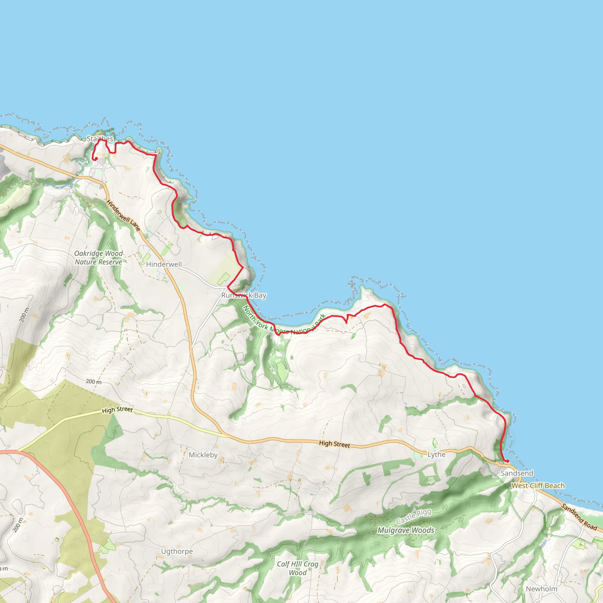
Starting near North Yorkshire, England, the Staithes to Sandsend Walk spans approximately 14 km (around 8.7 miles) with an elevation gain of about 400 meters (1,312 feet). This point-to-point trail is rated as medium difficulty, making it suitable for moderately experienced hikers.
Getting There To reach the trailhead, you can drive or use public transport. If driving, head towards Staithes, a charming fishing village located off the A174. There are parking facilities available in Staithes, such as the Staithes Bank Top Car Park. For those using public transport, the nearest train station is in Whitby, from where you can take a bus to Staithes. The Arriva North East bus service 4 runs between Whitby and Staithes.
Trail Overview The trail begins in Staithes, a village steeped in history and once home to the famous explorer Captain James Cook. As you set off, you'll be greeted by narrow cobbled streets and traditional cottages, offering a glimpse into the village's rich maritime heritage.
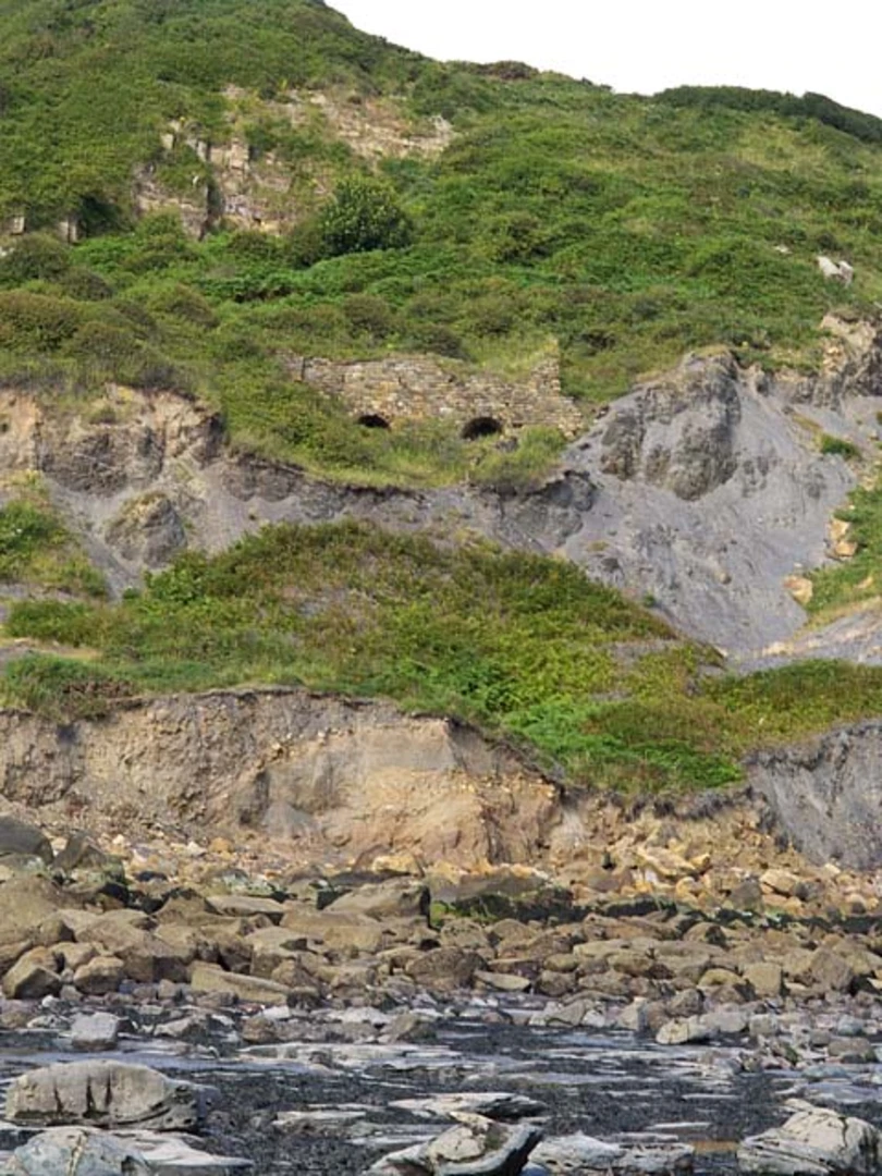
Key Landmarks and Sections #### Staithes to Port Mulgrave The first section of the trail takes you from Staithes to Port Mulgrave, approximately 3 km (1.9 miles) away. This part of the walk offers stunning coastal views and the opportunity to explore the remnants of Port Mulgrave's once-thriving ironstone mining industry. The cliffs here are a haven for fossil hunters, so keep an eye out for ancient marine fossils embedded in the rocks.
#### Port Mulgrave to Runswick Bay Continuing on, the next 4 km (2.5 miles) stretch leads you to Runswick Bay. This picturesque bay is known for its sandy beach and quaint cottages. The descent into Runswick Bay can be steep, so take care. Once you reach the bay, it's a perfect spot for a short break, perhaps enjoying a picnic while taking in the serene coastal scenery.
#### Runswick Bay to Kettleness From Runswick Bay, the trail heads towards Kettleness, covering another 3 km (1.9 miles). This section involves a moderate climb, offering panoramic views of the North Sea. Kettleness itself is a small hamlet with a dramatic cliff-top setting. The area is rich in wildlife, including seabirds such as kittiwakes and fulmars, which nest on the cliffs.
#### Kettleness to Sandsend The final leg of the journey is a 4 km (2.5 miles) walk to Sandsend. This part of the trail is relatively easier, with gentle undulations and well-defined paths. Sandsend is a charming village with a beautiful sandy beach, making it an ideal endpoint for your hike. The village has several cafes and pubs where you can relax and refuel.
Historical Significance The entire region is imbued with historical significance. Staithes was a bustling fishing port in the 19th century, and its narrow alleys and higgledy-piggledy houses reflect its storied past. Port Mulgrave's ironstone mining history adds an industrial layer to the landscape, while Runswick Bay and Sandsend offer insights into traditional coastal village life.
Navigation and Safety For navigation, it's highly recommended to use HiiKER, which provides detailed maps and real-time updates. The trail is well-marked, but weather conditions can change rapidly, so be prepared with appropriate gear. Always check the tide times, especially when walking along the coastal sections, to ensure safe passage.
This hike offers a blend of natural beauty, historical intrigue, and moderate physical challenge, making it a rewarding experience for those who undertake it.
What to expect?
Activity types
Comments and Reviews
User comments, reviews and discussions about the Staithes to Sandsend Walk, England.
average rating out of 5
0 rating(s)

