Download
Preview
Add to list
More
8.8 km
~2 hrs 2 min
162 m
Loop
“Explore North Yorkshire's scenic coast and countryside on a historic 9 km loop trail from Staithes.”
Starting near the picturesque village of Staithes in North Yorkshire, England, this 9 km (approximately 5.6 miles) loop trail offers a delightful mix of coastal and countryside scenery. With an elevation gain of around 100 meters (328 feet), the trail is rated as medium difficulty, making it accessible for most hikers with a moderate level of fitness.
Getting There To reach the trailhead, you can drive to Staithes, where parking is available near the village center. If you prefer public transport, Staithes is accessible by bus from nearby towns such as Whitby and Middlesbrough. The nearest significant landmark to the trailhead is the Staithes Heritage Centre and Captain Cook Museum, located at 1 High St, Staithes, Saltburn-by-the-Sea TS13 5BQ, UK.
Trail Overview The trail begins in Staithes, a charming fishing village known for its narrow streets and historic cottages. As you set off, you'll be greeted by stunning views of the North Sea and the rugged coastline. The first section of the trail takes you along the Cleveland Way, a renowned long-distance footpath that hugs the cliff tops, offering panoramic sea views.
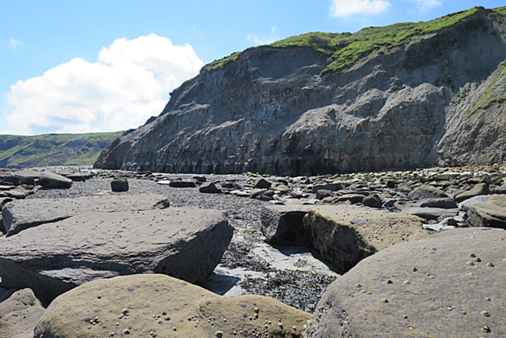
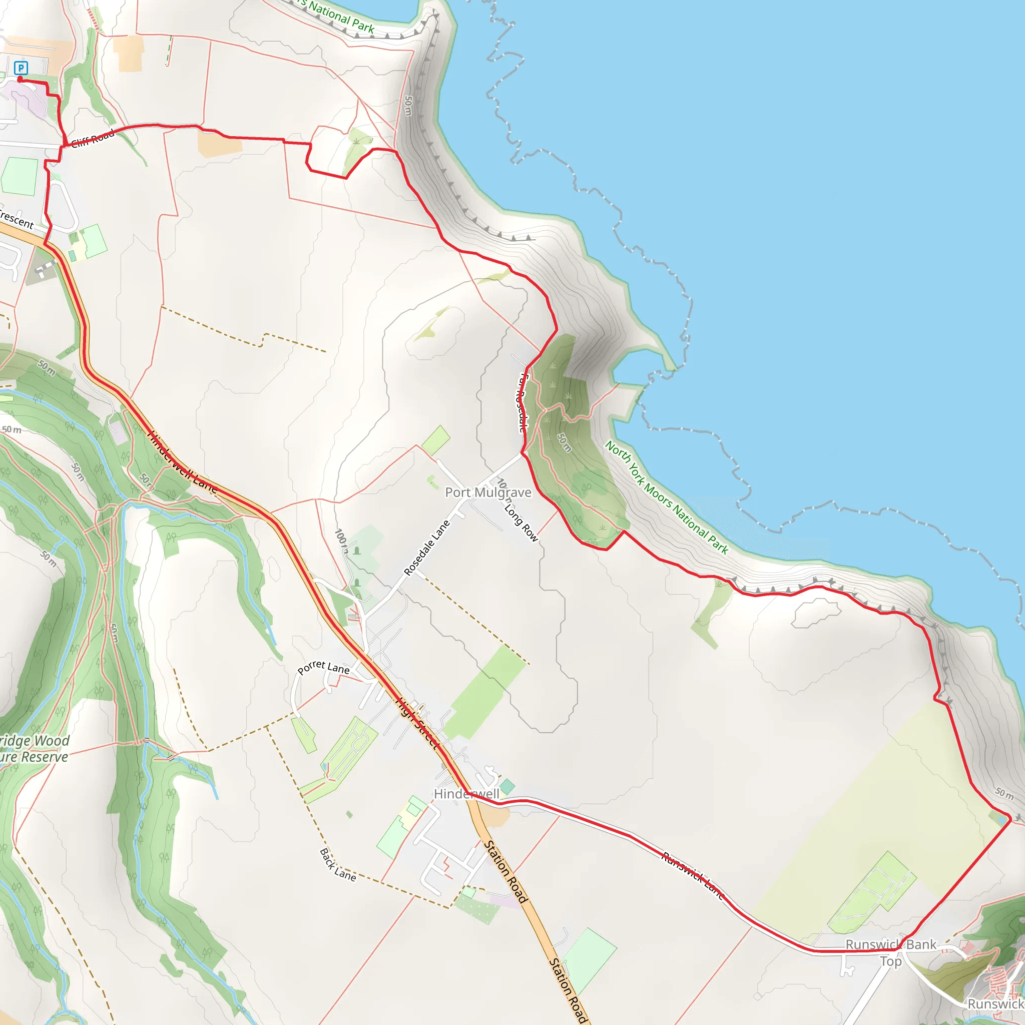
Key Landmarks and Sections - **Staithes to Port Mulgrave (Approx. 3 km / 1.9 miles):** This segment follows the Cleveland Way northwards. You'll pass through fields and along cliff edges, with the sea to your right. Keep an eye out for seabirds such as kittiwakes and fulmars, which nest in the cliffs. Port Mulgrave itself is a small, secluded bay with remnants of its industrial past, including old ironstone mining structures.
- Port Mulgrave to Hinderwell (Approx. 2 km / 1.2 miles): From Port Mulgrave, the trail heads inland towards the village of Hinderwell. This section is relatively flat and takes you through pastoral landscapes dotted with wildflowers in the spring and summer. Hinderwell is a quaint village with a rich history, including the ancient St. Hilda's Church, which dates back to the 12th century.
- Hinderwell to Staithes (Approx. 4 km / 2.5 miles): The final leg of the loop brings you back to Staithes. This part of the trail meanders through rolling countryside and small woodlands. As you approach Staithes, you'll descend back towards the coast, offering a different perspective of the village and its harbor.
Historical Significance Staithes is steeped in history, famously associated with Captain James Cook, who worked here as a young apprentice. The village's heritage is well-preserved, and you can explore its narrow alleys, known locally as "ginnels," and traditional fishing cottages. The area around Port Mulgrave also has historical significance due to its ironstone mining past, which played a crucial role in the industrial development of the region.
Navigation and Safety Given the coastal nature of the trail, weather conditions can change rapidly. It's advisable to check the forecast and wear appropriate clothing. The trail is well-marked, but using a navigation tool like HiiKER can help ensure you stay on track. Be cautious along the cliff edges, especially in windy conditions, and always stick to the designated paths.
This loop trail offers a perfect blend of natural beauty, historical intrigue, and moderate physical challenge, making it a rewarding experience for hikers looking to explore the North Yorkshire coast.
What to expect?
Activity types
Comments and Reviews
User comments, reviews and discussions about the Staithes - Port Mulgrave and Hinderwell Loop, England.
4.67
average rating out of 5
3 rating(s)

