Download
Preview
Add to list
More
14.2 km
~3 hrs 3 min
129 m
Loop
“The Piercebridge to Aldbrough St John Loop offers scenic views, historical landmarks, and a moderate hiking challenge.”
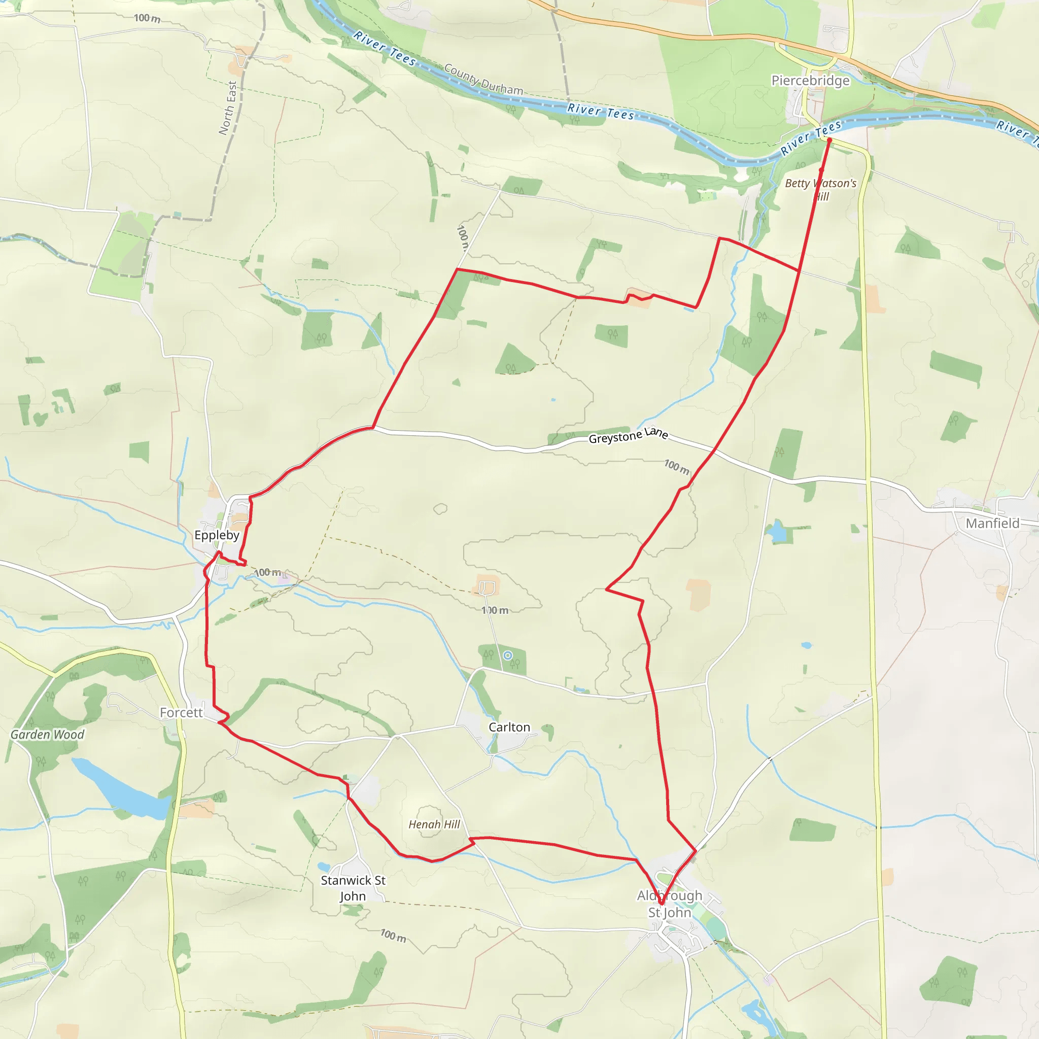
Starting near North Yorkshire, England, the Piercebridge to Aldbrough St John Loop is a captivating 14 km (approximately 8.7 miles) trail with an elevation gain of around 100 meters (328 feet). This loop trail is rated as medium difficulty, making it suitable for moderately experienced hikers.
Getting There To reach the trailhead, you can drive or use public transport. If driving, set your GPS to Piercebridge, a village near North Yorkshire. For those using public transport, the nearest significant landmark is Darlington, which is well-connected by train. From Darlington, you can take a local bus or taxi to Piercebridge.
Trail Overview The trail begins in the historic village of Piercebridge, known for its Roman bridge ruins. As you start your hike, you'll follow the River Tees, offering serene riverside views and the chance to spot local wildlife such as kingfishers and otters.
Key Landmarks and Sections
#### Roman Bridge Ruins At approximately 1 km (0.6 miles) into the hike, you'll encounter the remnants of the Roman bridge. This ancient structure dates back to the Roman occupation of Britain and is a significant historical landmark. Take a moment to explore the ruins and imagine the history that unfolded here.
#### River Tees Continuing along the River Tees, the trail offers picturesque views and a peaceful ambiance. The riverbanks are lined with lush greenery, and you may spot various bird species, including herons and swans. This section is relatively flat, making it a pleasant walk.
#### Aldbrough St John Around the 7 km (4.3 miles) mark, you'll reach the charming village of Aldbrough St John. This village is known for its beautiful stone cottages and the historic St. John's Church, which dates back to the 12th century. It's a great spot to take a break and explore the local architecture.
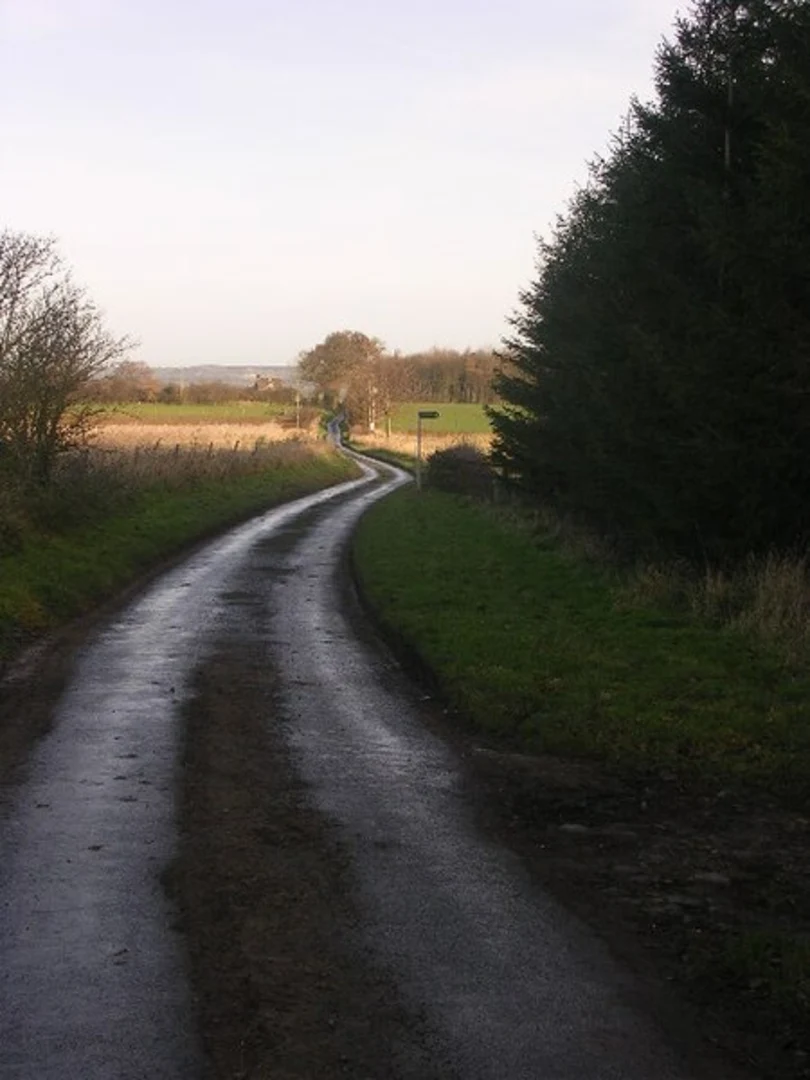
Terrain and Navigation The trail features a mix of terrains, including riverside paths, woodland trails, and open fields. While the elevation gain is moderate, some sections can be uneven and muddy, especially after rain. Good hiking boots are recommended.
For navigation, it's advisable to use the HiiKER app, which provides detailed maps and real-time updates. This will help you stay on track and ensure you don't miss any key landmarks.
Wildlife and Nature The trail is rich in biodiversity. In addition to the birdlife along the River Tees, the woodland areas are home to deer, foxes, and various small mammals. The flora is equally diverse, with wildflowers blooming in the spring and summer months, adding a splash of color to your hike.
Final Stretch As you loop back towards Piercebridge, the trail takes you through open fields and farmland. This section offers expansive views of the North Yorkshire countryside, with rolling hills and patchwork fields. The final stretch is relatively flat, allowing you to enjoy a leisurely walk back to the starting point.
This trail offers a perfect blend of natural beauty, historical landmarks, and moderate physical challenge, making it a rewarding experience for any hiker.
What to expect?
Activity types
Comments and Reviews
User comments, reviews and discussions about the Piercebridge to Aldbrough St John Loop, England.
4.2
average rating out of 5
5 rating(s)

