Download
Preview
Add to list
More
15.9 km
~4 hrs 2 min
516 m
Point-to-Point
“This 16 km trail from Helmsley through North York Moors combines scenic beauty, historical landmarks, and moderate challenge.”
Starting near the picturesque town of Helmsley in North Yorkshire, England, this 16 km (approximately 10 miles) point-to-point trail offers a delightful mix of natural beauty, historical landmarks, and moderate physical challenge. With an elevation gain of around 500 meters (approximately 1,640 feet), hikers can expect a moderately strenuous journey through the stunning North York Moors National Park.
Getting There To reach the trailhead, you can either drive or use public transport. If driving, Helmsley is accessible via the A170 road. For those using public transport, regular bus services run from York and Thirsk to Helmsley, making it convenient for hikers without a car.
Trail Overview The trail begins in Helmsley, a charming market town known for its medieval Helmsley Castle and the beautiful Helmsley Walled Garden. As you set off, you'll pass through the town's historic streets before entering the lush countryside.
Key Landmarks and Sections #### Rievaulx Abbey Around 4 km (2.5 miles) into the hike, you'll encounter the ruins of Rievaulx Abbey, one of the most significant Cistercian monasteries in England. Founded in 1132, the abbey's impressive remains are a testament to its historical importance. Take a moment to explore the site and enjoy the serene surroundings.
#### River Rye Continuing along the trail, you'll follow the River Rye for a stretch. This section is relatively flat and offers a peaceful walk alongside the riverbanks, where you might spot local wildlife such as kingfishers and otters.
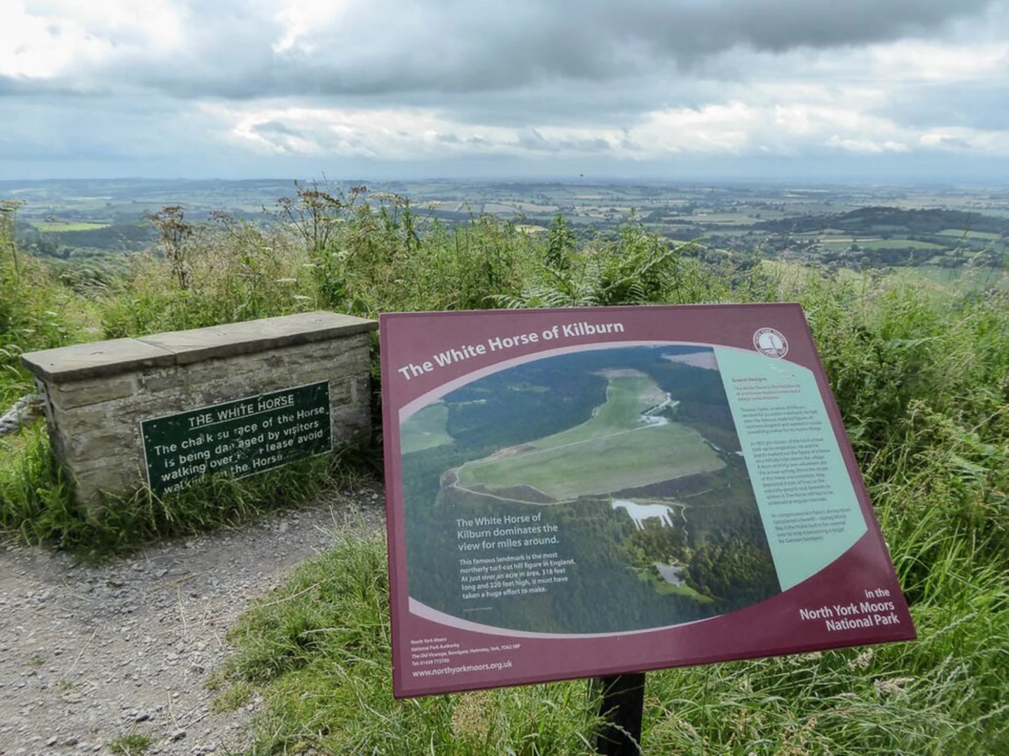
#### Climbing to the Moors As you progress, the trail begins to ascend towards the North York Moors. This section involves a steady climb, gaining approximately 300 meters (984 feet) in elevation over the next 5 km (3.1 miles). The effort is rewarded with expansive views of the moorland and the surrounding countryside.
Wildlife and Flora The North York Moors are home to a diverse range of wildlife and plant species. Keep an eye out for red grouse, curlews, and the occasional deer. The moorland is also rich in heather, which blooms in late summer, painting the landscape in vibrant purple hues.
Navigation Given the varied terrain and potential for changing weather conditions, it's advisable to use a reliable navigation tool like HiiKER to stay on track. The app provides detailed maps and real-time updates to ensure you don't miss any key turns or landmarks.
Final Stretch to Yorkshire Gliding Club Airfield The final 3 km (1.9 miles) of the trail involve a gentle descent towards the Yorkshire Gliding Club Airfield. This section offers panoramic views of the surrounding landscape and, on a clear day, you might even see gliders soaring above. The airfield itself is a hub for gliding enthusiasts and provides a unique endpoint to your hike.
Practical Tips - Wear sturdy hiking boots, as the trail includes both flat river paths and rugged moorland. - Pack sufficient water and snacks, especially if you plan to explore Rievaulx Abbey. - Check the weather forecast before setting out, as conditions on the moors can change rapidly. - Consider bringing binoculars for birdwatching along the River Rye and on the moors.
This trail offers a perfect blend of natural beauty, historical intrigue, and moderate physical challenge, making it an excellent choice for hikers looking to explore the heart of North Yorkshire.

What to expect?
Activity types
Comments and Reviews
User comments, reviews and discussions about the Helmsley to Yorkshire Gliding Club Airfield Walk, England.
4.25
average rating out of 5
4 rating(s)