Download
Preview
Add to list
More
14.0 km
~3 hrs 14 min
274 m
Point-to-Point
“Embark on a scenic and historic 14km hike across North York Moors' heather-clad landscapes and intriguing alum trade routes.”
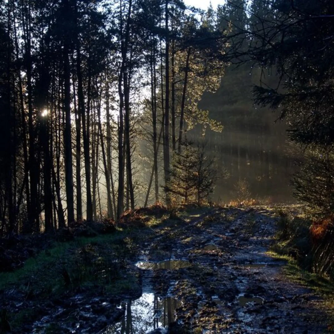
Embarking on the Clay Bank Top to Blakey Ridge Walk, you'll traverse a section of the historic North York Moors National Park, covering approximately 14 kilometers (about 8.7 miles) with an elevation gain of around 200 meters (approximately 656 feet). This point-to-point trail is a medium difficulty hike that offers a blend of natural beauty and historical intrigue.
Getting to the Trailhead
The trailhead is located near North Yorkshire, England, just off the B1257 road near Great Broughton. For those driving, parking is available at the Clay Bank car park. If you're using public transport, the closest train stations are in Middlesbrough and Northallerton, with bus services running closer to the area. From there, local bus services or taxis can get you to the starting point.
The Journey Begins
Setting out from Clay Bank Top, you'll immediately be greeted by sweeping views of the Cleveland Hills. The trail is well-marked and begins with a steady climb, which will account for most of the elevation gain early on in the hike. As you ascend, the path will lead you through heather moorland, which blooms with purple flowers in late summer.
Landmarks and Wildlife
One of the significant landmarks you'll encounter is the Wain Stones, a distinctive rock formation that is a popular spot for a brief rest and photo opportunity. Keep an eye out for the diverse wildlife in the area, including red grouse, curlews, and if you're fortunate, the elusive adder.
Historical Significance
The region is steeped in history, with the trail itself following part of the route used by alum traders. Alum was an essential component in the textile dyeing and tanning industries during the 17th and 18th centuries. As you walk, consider the historical significance of the moorlands, which have been shaped by centuries of sheep farming and the alum trade.
Navigating the Trail
For navigation, the HiiKER app is a reliable tool to guide you along the trail. It will help you stay on track and provide information on the key waypoints throughout your hike.
Crossing the Moors
Continuing across the moors, the terrain is relatively flat, and the trail is easy to follow. The expansive views across the heathland are a constant companion as you make your way towards Blakey Ridge. The sense of isolation and tranquility here is profound, with only the wind and the calls of moorland birds as your soundtrack.
Approaching Blakey Ridge
As you approach the end of the trail at Blakey Ridge, you'll find the Lion Inn, one of the most famous landmarks in the area and a perfect spot to rest and refuel after your hike. This historic pub dates back to the 16th century and is known for its warm hospitality and hearty meals.
Trail Tips
- Check the weather forecast before you set out, as conditions on the moors can change rapidly. - Wear appropriate footwear, as the trail can be boggy in places, especially after rain. - Bring a map and compass in addition to the HiiKER app, as backup navigation is always a good idea. - Carry enough water and snacks for the hike, as there are no facilities until you reach Blakey Ridge.
This trail offers a wonderful opportunity to experience the rugged beauty of the North York Moors and to immerse yourself in the history of the region. Whether you're a seasoned hiker or someone looking to explore the English countryside, the Clay Bank Top to Blakey Ridge Walk is a journey that will leave a lasting impression.

What to expect?
Activity types
Comments and Reviews
User comments, reviews and discussions about the Clay Bank Top to Blakey Ridge Walk, England.
average rating out of 5
0 rating(s)