Download
Preview
Add to list
More
22.2 km
~1 day 0 hrs
402 m
Point-to-Point
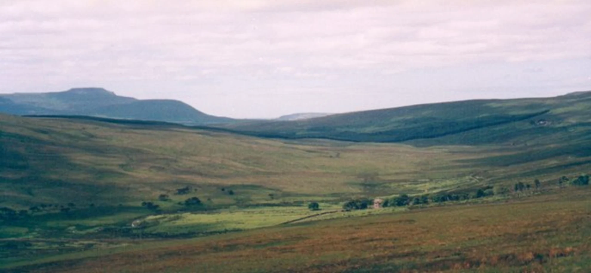
“Embark on the Buckden to Ribblehead Walk for scenic beauty, historical landmarks, and diverse wildlife across 22 km.”
Starting near the picturesque village of Buckden in North Yorkshire, England, the Buckden to Ribblehead Walk spans approximately 22 km (13.7 miles) with an elevation gain of around 400 meters (1,312 feet). This point-to-point trail is rated as medium difficulty, making it suitable for moderately experienced hikers.
Getting There To reach the trailhead in Buckden, you can either drive or use public transport. If driving, head towards the village of Buckden, which is accessible via the B6160 road. For those using public transport, the nearest train station is in Skipton, from where you can catch a bus to Buckden. The bus service is relatively frequent, but it's advisable to check the latest schedules.
Trail Overview The trail begins in Buckden, a charming village known for its traditional stone cottages and scenic surroundings. As you set off, you'll initially follow the River Wharfe, offering a gentle start with relatively flat terrain. This section is perfect for warming up and enjoying the serene river views.
Key Landmarks and Sections #### Hubberholme (Approx. 3 km / 1.9 miles) After about 3 km (1.9 miles), you'll reach the small hamlet of Hubberholme. Here, you can visit the historic St. Michael and All Angels Church, which dates back to the 12th century. The churchyard is also the final resting place of the renowned author J.B. Priestley.
#### Yockenthwaite (Approx. 6 km / 3.7 miles) Continuing along the trail, you'll arrive at Yockenthwaite after another 3 km (1.9 miles). This area is known for its ancient stone circle, a fascinating site that offers a glimpse into the region's prehistoric past. The trail here starts to ascend gradually, providing panoramic views of the surrounding dales.
#### Cam Houses (Approx. 12 km / 7.5 miles) Around the halfway mark, you'll reach Cam Houses, a remote area that offers a sense of isolation and tranquility. The elevation gain becomes more noticeable here, with rolling hills and expansive moorlands. This section can be boggy, especially after rain, so waterproof boots are recommended.
Wildlife and Flora The trail traverses diverse habitats, from riverbanks to moorlands, offering opportunities to spot various wildlife. Keep an eye out for red grouse, curlews, and lapwings. The flora is equally diverse, with heather, bilberry, and wildflowers adding splashes of color to the landscape.
Final Stretch to Ribblehead (Approx. 22 km / 13.7 miles) As you approach Ribblehead, the iconic Ribblehead Viaduct comes into view. This impressive structure, built in the 1870s, is part of the Settle-Carlisle Railway and stands as a testament to Victorian engineering. The final stretch involves a descent towards the viaduct, offering stunning views of the surrounding peaks, including Whernside, the highest of the Yorkshire Three Peaks.
Navigation and Safety Given the varied terrain and potential for changing weather conditions, it's advisable to use a reliable navigation tool like HiiKER to stay on track. Ensure you carry a map, compass, and sufficient supplies, including water, snacks, and a first aid kit.
Historical Significance The region is steeped in history, from ancient stone circles to Victorian engineering marvels. The Ribblehead Viaduct, in particular, is a highlight, reflecting the industrial heritage of the area. The trail also passes through several small communities that have retained their historical charm, offering a glimpse into rural life in the Yorkshire Dales.
This trail offers a blend of natural beauty, historical landmarks, and diverse wildlife, making it a rewarding experience for those willing to take on its moderate challenges.

What to expect?
Activity types
Comments and Reviews
User comments, reviews and discussions about the Buckden to Ribblehead Walk, England.
4.67
average rating out of 5
3 rating(s)