Download
Preview
Add to list
More
6.6 km
~1 hrs 31 min
124 m
Loop
“The Sand Point Loop offers stunning coastal views, historical sites, and moderate challenges for seasoned hikers.”
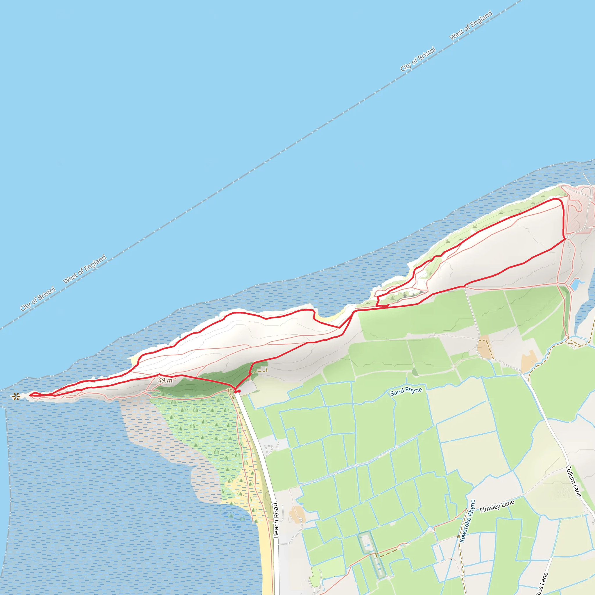
Starting near North Somerset, England, the Sand Point Loop is a delightful 7 km (4.3 miles) trail with an elevation gain of approximately 100 meters (328 feet). This loop trail is rated as medium difficulty, making it suitable for moderately experienced hikers.
Getting There To reach the trailhead, you can drive to the nearest significant landmark, which is the Sand Bay car park. For those using public transport, the closest major town is Weston-super-Mare. From Weston-super-Mare, you can take a local bus to Sand Bay, which drops you off near the car park.
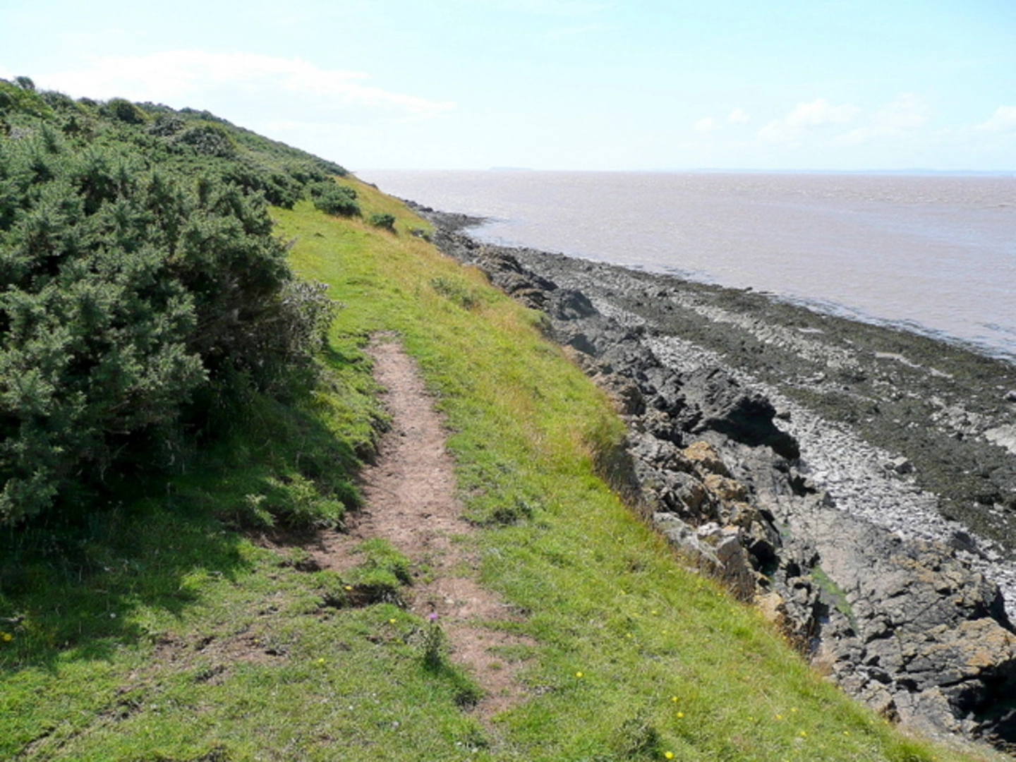
Trail Overview The trail begins at the Sand Bay car park and immediately introduces you to the stunning coastal scenery of the Bristol Channel. As you start your hike, you'll notice the terrain is a mix of grassy paths and rocky outcrops. The initial section is relatively flat, allowing you to ease into the hike.
Key Landmarks and Points of Interest - **Sand Point**: About 1.5 km (0.9 miles) into the hike, you'll reach Sand Point, a prominent headland offering panoramic views of the Bristol Channel and the Welsh coastline. This is a great spot for a short break and some photography. - **Middle Hope**: Continuing along the trail, you'll come across Middle Hope, a Site of Special Scientific Interest (SSSI). This area is rich in biodiversity, featuring rare plant species and a variety of birdlife. Keep an eye out for peregrine falcons and skylarks. - **Worlebury Hill Fort**: Approximately 4 km (2.5 miles) into the hike, you'll encounter the remains of Worlebury Hill Fort. This Iron Age fortification offers a glimpse into the region's ancient history. The fort's elevated position provides another excellent vantage point for scenic views.
Flora and Fauna The trail is abundant with diverse flora and fauna. In spring and summer, the meadows are awash with wildflowers, including orchids and cowslips. The coastal environment supports a range of bird species, making it a haven for birdwatchers. You might also spot small mammals like rabbits and foxes along the way.
Navigation and Safety The trail is well-marked, but it's always a good idea to have a reliable navigation tool. HiiKER is an excellent app for this purpose, providing detailed maps and real-time GPS tracking. The terrain can be uneven and rocky in places, so sturdy hiking boots are recommended. Also, be mindful of the weather, as coastal conditions can change rapidly.
Final Stretch The last section of the loop brings you back towards Sand Bay, where you can enjoy a leisurely walk along the beach if the tide is out. The trail concludes back at the Sand Bay car park, where you can find facilities to rest and refresh.
This trail offers a perfect blend of natural beauty, historical intrigue, and moderate physical challenge, making it a rewarding experience for any hiker.
What to expect?
Activity types
Comments and Reviews
User comments, reviews and discussions about the National Trust - Sand Point Loop, England.
5.0
average rating out of 5
2 rating(s)

