Download
Preview
Add to list
More
8.8 km
~1 hrs 53 min
87 m
Loop
“The Burton Latimer Circular Path is a 9 km scenic loop featuring woodlands, open fields, and historical landmarks.”
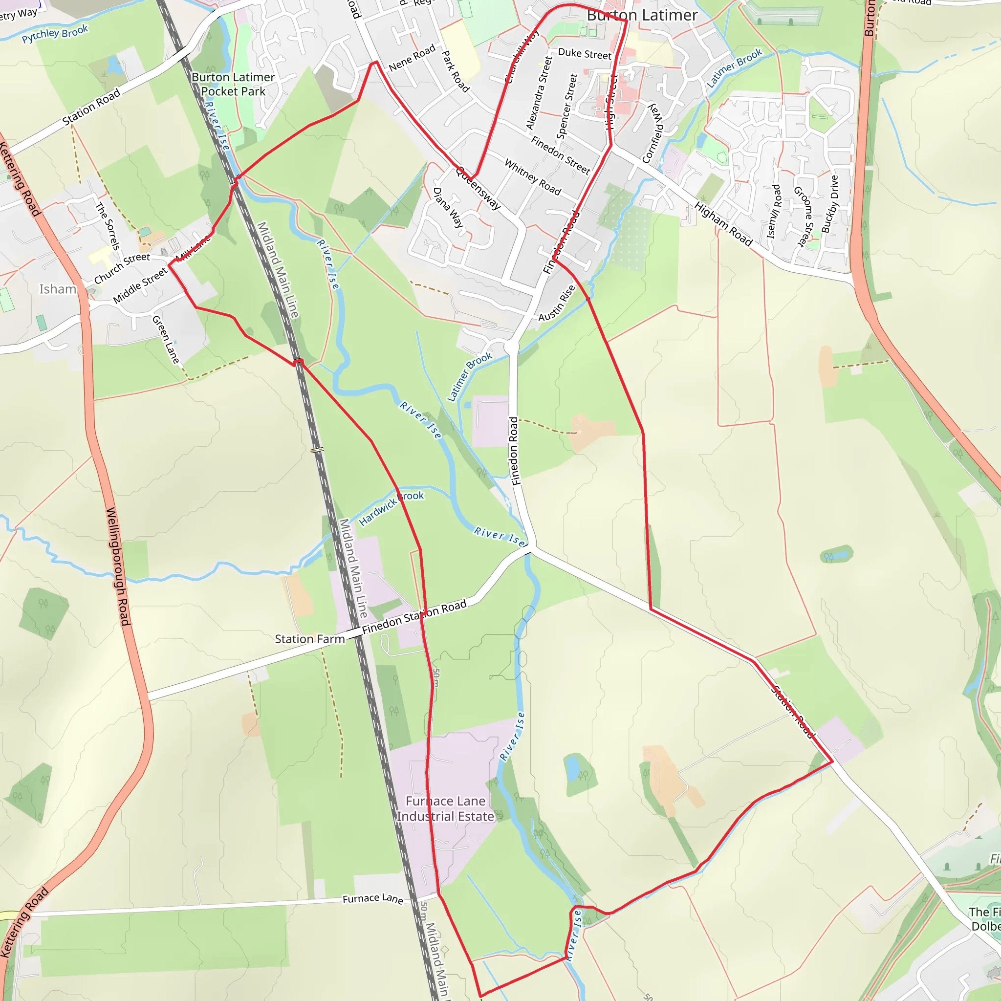
Starting near North Northamptonshire, England, the Burton Latimer Circular Path is a delightful loop trail that spans approximately 9 km (around 5.6 miles) with no significant elevation gain, making it accessible for a wide range of hikers. The trailhead is conveniently located near the town of Burton Latimer, which can be reached by car or public transport. If you're driving, there are parking facilities available in Burton Latimer itself. For those using public transport, the nearest train station is Kettering, from where you can take a local bus or taxi to the trailhead.
Trail Overview
The Burton Latimer Circular Path is classified as a medium difficulty trail, primarily due to its length rather than challenging terrain. The path meanders through a mix of rural landscapes, including open fields, woodlands, and charming village settings. The absence of significant elevation gain makes it a pleasant walk for those looking to enjoy a leisurely day outdoors.
Key Landmarks and Points of Interest
1. Burton Latimer Village: Starting your hike, you'll pass through the quaint village of Burton Latimer. This area is rich in history, with several buildings dating back to the 17th and 18th centuries. The village is also home to St. Mary's Church, a beautiful example of medieval architecture.
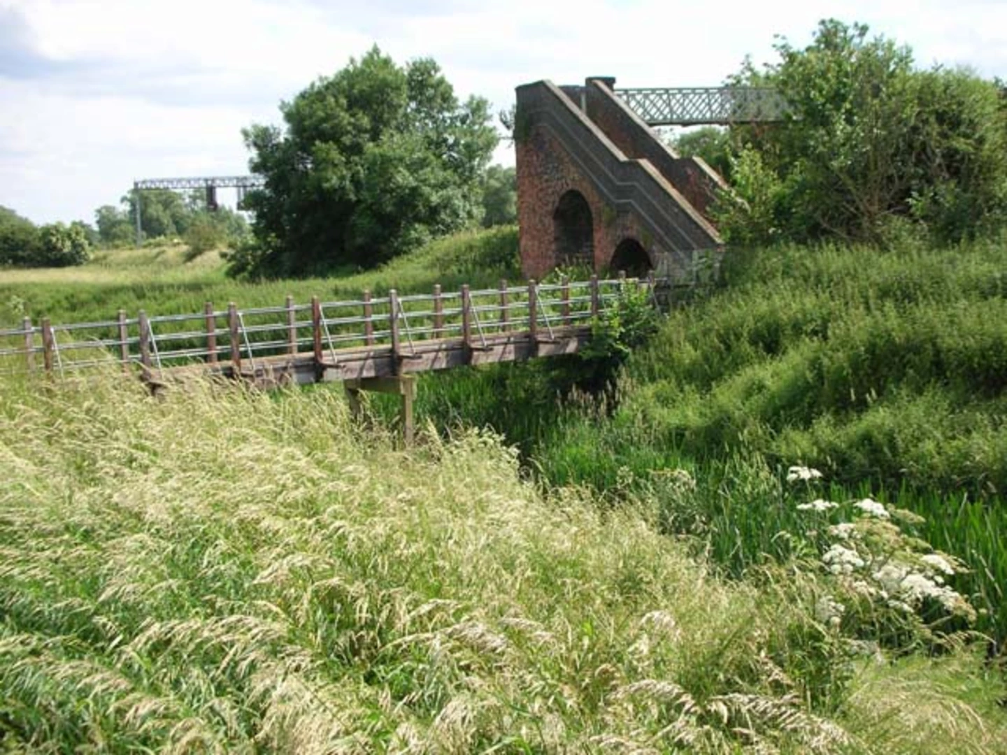
2. Woodlands and Wildlife: As you move away from the village, the trail takes you through serene woodlands. Keep an eye out for local wildlife, including deer, foxes, and a variety of bird species. The woodlands are particularly beautiful in the spring and autumn, offering a vibrant display of colors.
3. Open Fields and Farmlands: The trail also traverses open fields and farmlands, providing expansive views of the Northamptonshire countryside. These sections are relatively flat and easy to navigate, making them perfect for a relaxed stroll.
4. Historical Sites: Along the route, you'll encounter several historical sites, including remnants of old farm buildings and ancient hedgerows. These features offer a glimpse into the agricultural history of the region.
Navigation and Safety
To ensure you stay on track, it's advisable to use a reliable navigation tool like HiiKER, which provides detailed maps and real-time GPS tracking. The trail is well-marked, but having a digital guide can be particularly useful in the more remote sections.
Getting There
By Car: If you're driving, set your GPS to Burton Latimer, North Northamptonshire. There are several parking options available in the village, including a public car park near the town center.
By Public Transport: For those opting for public transport, the nearest major train station is Kettering. From Kettering, you can catch a local bus or taxi to Burton Latimer. The bus journey takes approximately 15 minutes, making it a convenient option for hikers.
Preparation Tips
Given the trail's moderate length, it's wise to bring sufficient water and snacks. Wear comfortable hiking shoes, as the terrain can vary from paved paths to grassy fields. Weather in Northamptonshire can be unpredictable, so pack a waterproof jacket and check the forecast before setting out.
The Burton Latimer Circular Path offers a delightful mix of natural beauty and historical intrigue, making it a rewarding experience for hikers of all levels.
What to expect?
Activity types
Comments and Reviews
User comments, reviews and discussions about the Burton Latimer Circular Path, England.
5.0
average rating out of 5
3 rating(s)

