Download
Preview
Add to list
More
10.9 km
~2 hrs 19 min
89 m
Point-to-Point
“Explore the flat, 11 km Shirley to Metchley Walk, blending urban scenery, historic sites, and lush parks.”
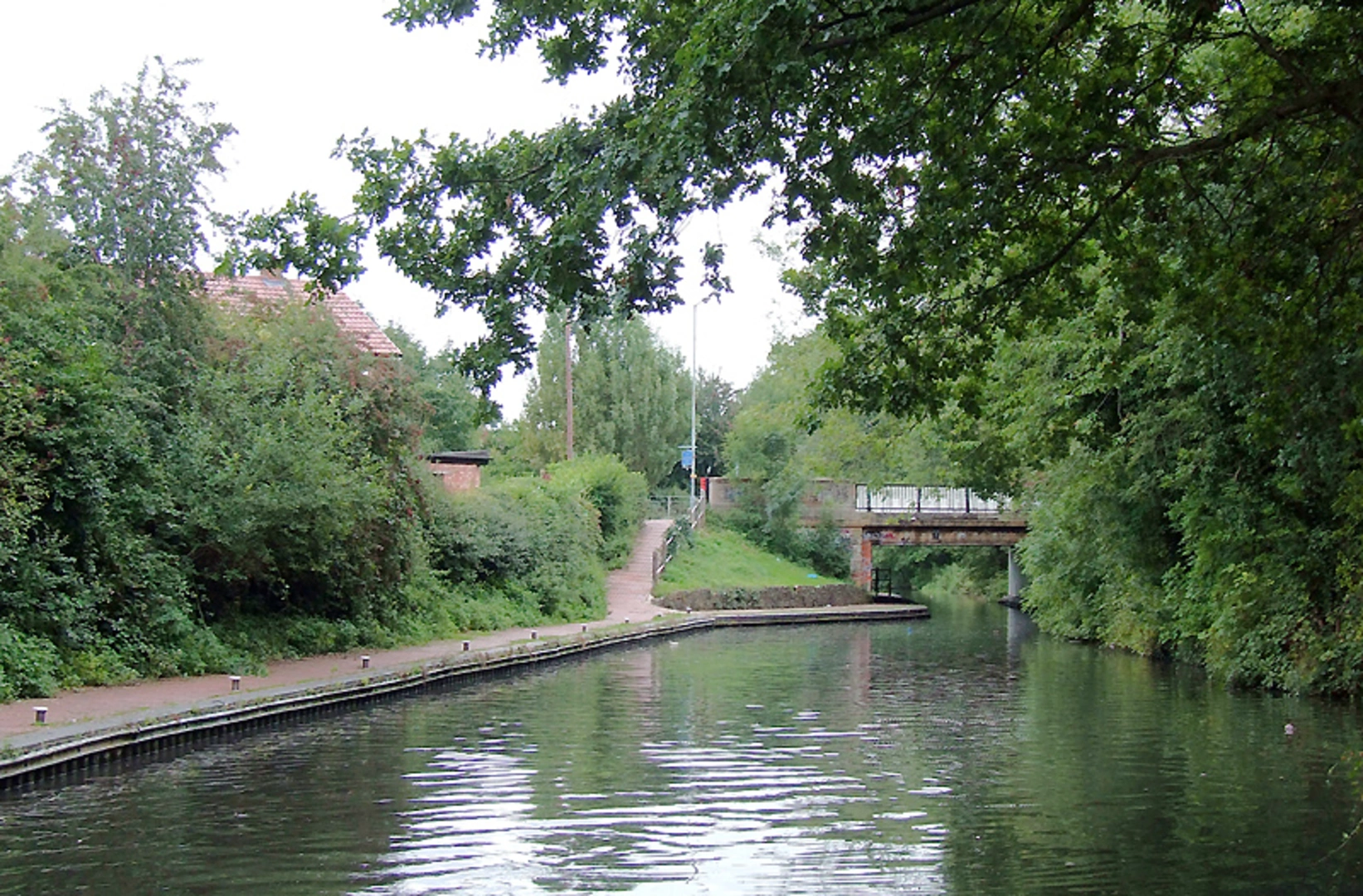
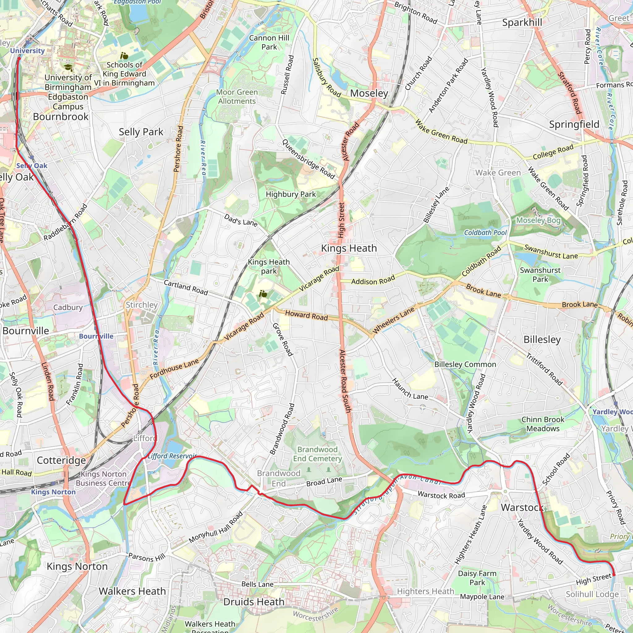
Starting near the Metropolitan Borough of Solihull, England, the Shirley to Metchley Walk spans approximately 11 km (around 6.8 miles) with virtually no elevation gain, making it a relatively flat and accessible hike. This point-to-point trail is estimated to be of medium difficulty, suitable for hikers with a moderate level of fitness.### Getting There To reach the trailhead, you can use public transport or drive. If you're taking public transport, the nearest significant landmark is the Solihull Train Station, which is well-connected to Birmingham and other major cities. From the station, local buses or a short taxi ride can take you to the starting point near Shirley. If driving, there are parking facilities available in Shirley, and it's advisable to use HiiKER for precise navigation to the trailhead.### Trail Overview The trail begins in the suburban area of Shirley, offering a mix of urban and semi-rural landscapes. As you set off, you'll pass through residential neighborhoods, giving way to more open spaces and parks. The first few kilometers are relatively straightforward, with well-marked paths and minimal elevation changes.### Points of Interest Around the 3 km (1.9 miles) mark, you'll encounter the picturesque Shirley Park. This is a great spot to take a short break, enjoy the greenery, and perhaps spot some local wildlife such as squirrels and various bird species. The park is well-maintained and features several benches and picnic areas.Continuing on, the trail leads you through a series of smaller parks and green spaces, each offering its own unique charm. Around the 6 km (3.7 miles) point, you'll come across the historic Tudor Grange House, a significant landmark with roots dating back to the 19th century. The house is surrounded by beautifully landscaped gardens, making it another excellent spot for a rest.### Historical Significance As you approach the latter part of the trail, you'll enter the area near Metchley, which holds historical significance due to the remnants of the Metchley Roman Fort. This ancient site dates back to the 1st century AD and offers a fascinating glimpse into the region's Roman past. Informational plaques provide context and details about the fort's history and its role in the Roman occupation of Britain.### Final Stretch The final stretch of the trail takes you through more urban settings as you near Metchley. The path remains well-marked and easy to follow, eventually leading you to the endpoint near the University of Birmingham. This area is bustling with activity and offers various amenities, including cafes and shops, where you can relax and reflect on your hike.### Wildlife and Nature Throughout the hike, keep an eye out for local wildlife. The parks and green spaces are home to a variety of birds, including robins, blackbirds, and woodpeckers. In the more wooded areas, you might spot foxes or hedgehogs, especially if you're hiking early in the morning or late in the afternoon.### Navigation For precise navigation and to ensure you stay on track, it's highly recommended to use HiiKER. The app provides detailed maps and real-time updates, making it easier to navigate through both urban and rural sections of the trail.This hike offers a delightful blend of natural beauty, historical landmarks, and urban exploration, making it a rewarding experience for those looking to explore the area around Solihull and Birmingham.
What to expect?
Activity types
Comments and Reviews
User comments, reviews and discussions about the Shirley to Metchley Walk, England.
4.0
average rating out of 5
2 rating(s)

