Download
Preview
Add to list
More
7.5 km
~1 hrs 37 min
76 m
Out and Back
“Explore the serene Macclesfield Canal Walk near Marple, rich in history, nature, and easy accessibility.”
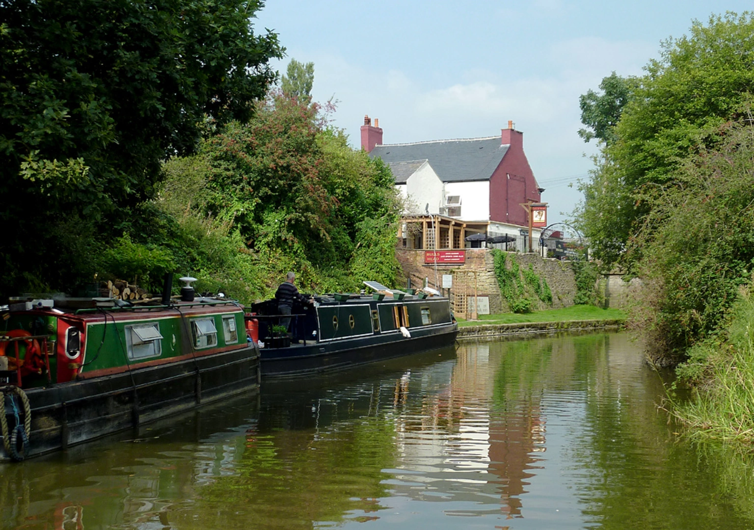
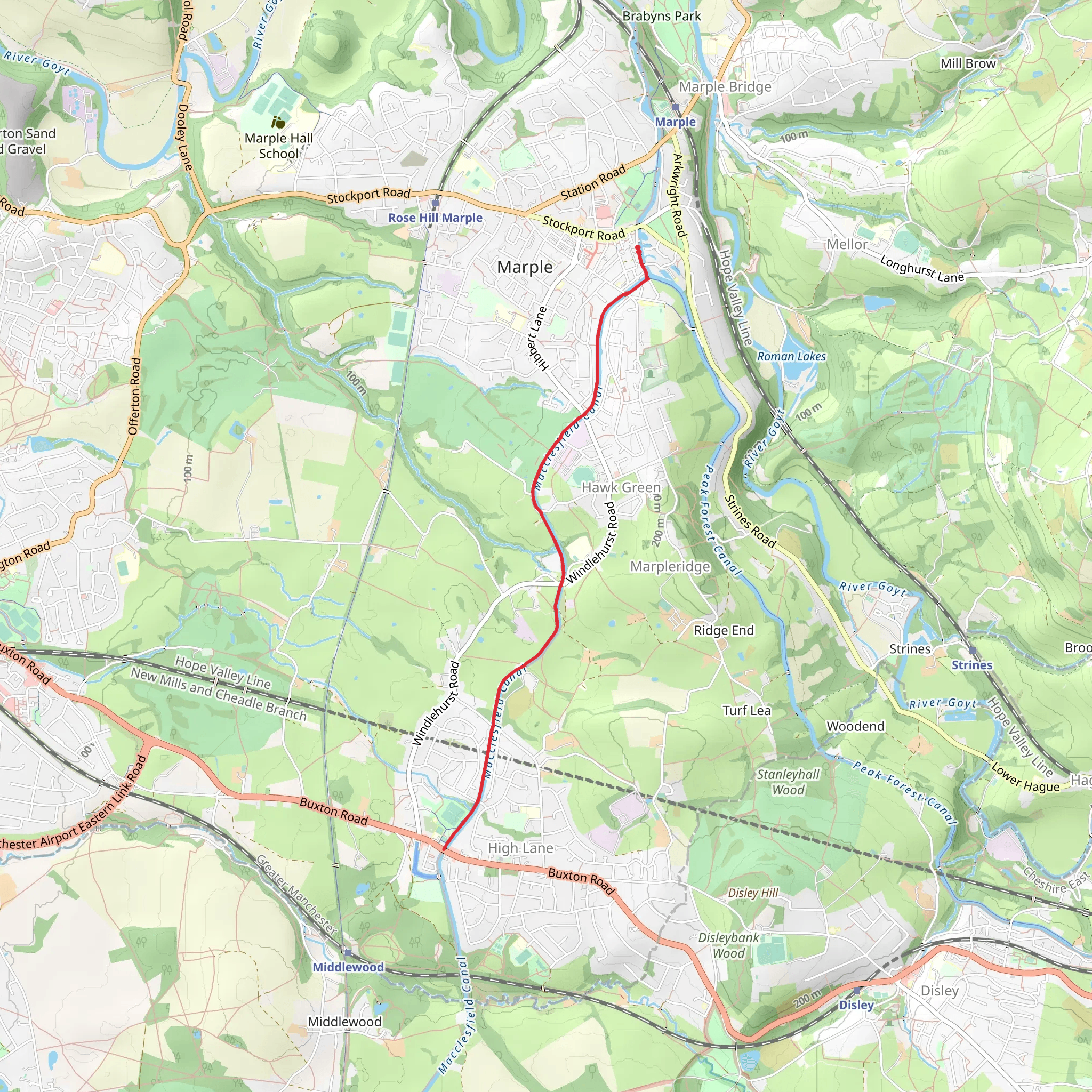
Starting near the charming town of Marple, England, the Macclesfield Canal Walk - Marple is an 8 km (approximately 5 miles) out-and-back trail with no significant elevation gain, making it an accessible yet engaging hike for many. The trailhead is conveniently located near Marple, which is easily accessible by both public transport and car. If you're driving, you can park near the Marple Aqueduct, a significant landmark in the area. For those using public transport, Marple railway station is a short walk from the trailhead, offering regular services from Manchester and other nearby towns.Trail OverviewThe trail follows the scenic Macclesfield Canal, a waterway rich in history and natural beauty. As you set off from Marple, you'll immediately notice the tranquil atmosphere, with the canal's calm waters reflecting the surrounding greenery. The path is well-maintained and flat, making it suitable for hikers of varying skill levels.Historical SignificanceThe Macclesfield Canal was completed in 1831 and played a crucial role in the industrial revolution, facilitating the transport of goods between the Peak District and the larger cities. Along the trail, you'll encounter several historical landmarks, including the Marple Aqueduct, which is an engineering marvel of its time. This aqueduct carries the canal over the River Goyt and offers stunning views of the surrounding landscape.Nature and WildlifeAs you walk along the canal, keep an eye out for a variety of wildlife. The area is home to numerous bird species, including kingfishers and herons, which can often be seen fishing in the canal. The lush vegetation along the banks provides a habitat for small mammals and insects, making it a delightful spot for nature enthusiasts.Significant LandmarksApproximately 2 km (1.2 miles) into the hike, you'll come across the Marple Locks, a flight of 16 locks that raise the canal by 209 feet (64 meters) over a mile. This section is particularly picturesque and offers a glimpse into the canal's working past. The locks are still operational and are a fascinating sight, especially if you happen to see a narrowboat navigating through them.Navigation and AmenitiesFor navigation, it's recommended to use the HiiKER app, which provides detailed maps and real-time updates. The trail is well-marked, but having a reliable navigation tool can enhance your hiking experience. There are several benches and picnic spots along the way, perfect for a rest or a snack break. Public restrooms are available near the Marple Aqueduct and at the Marple Locks.Final StretchAs you approach the 4 km (2.5 miles) mark, you'll reach the turnaround point near the village of High Lane. Here, you can take a moment to explore the local area or simply enjoy the peaceful surroundings before heading back to Marple. The return journey offers a different perspective of the canal and its surroundings, making the hike back just as enjoyable.This trail offers a perfect blend of history, nature, and tranquility, making it a must-visit for anyone looking to explore the beautiful countryside near Marple.
What to expect?
Activity types
Comments and Reviews
User comments, reviews and discussions about the Macclesfield Canal Walk - Marple, England.
4.67
average rating out of 5
3 rating(s)

