Liverpool South Parkway to Walney Island Walk trail stages
stage 1
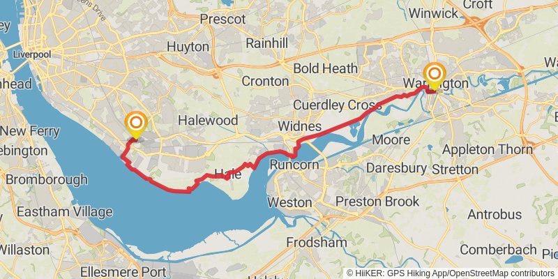
Starting at: Liverpool, Liverpool, L19 2JX
Ending at: Bank Quay, Warrington, Warrington, WA1 1JL
Distance: 27.8 km
Elevation gain: 173 m
Duration: 05:50:35
View on mapstage 2
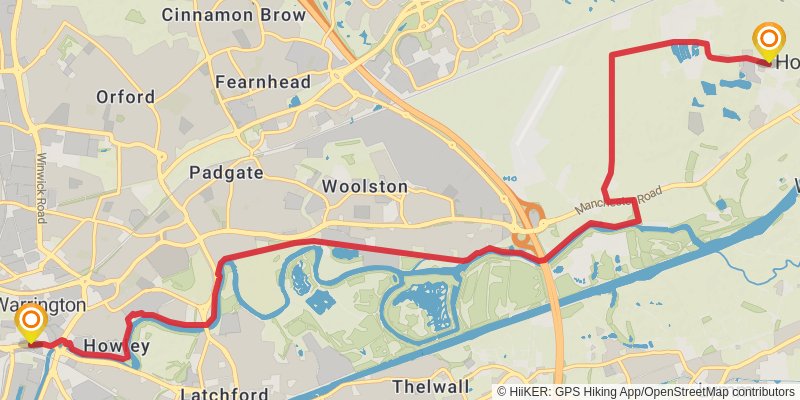
Starting at: Warrington, WA1 1JL
Ending at: Hollins Green, Warrington, WA3 6HG
Distance: 12.7 km
Elevation gain: 63 m
Duration: 02:38:35
View on mapstage 3
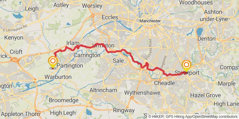
Starting at: Hollins Green, Warrington, WA3 6HG
Ending at: The Strand, Stockport, Stockport, SK1 1SP
Distance: 31.5 km
Elevation gain: 194 m
Duration: 06:37:39
View on mapstage 4
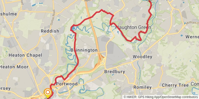
Starting at: Stockport, SK1 1NP
Ending at: Tameside, Tameside, M34 3EH
Distance: 11.9 km
Elevation gain: 203 m
Duration: 02:42:54
View on mapstage 5
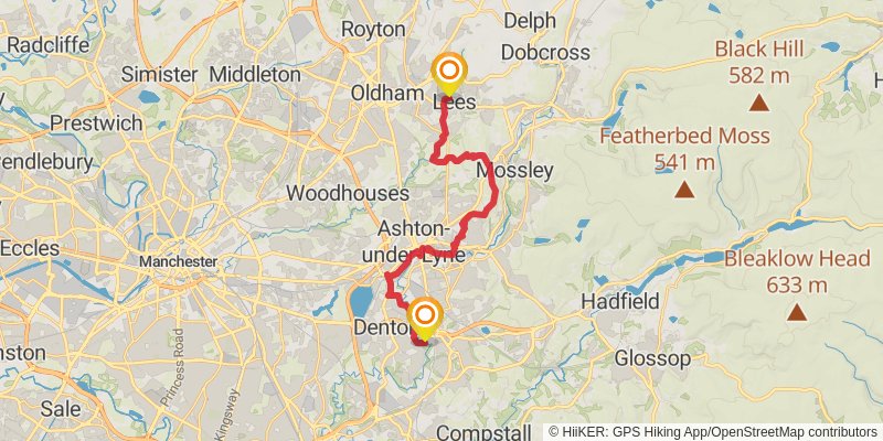
Starting at: Tameside, Tameside, M34 6JJ
Ending at: Hey, Oldham, Oldham, OL4 3FU
Distance: 19.9 km
Elevation gain: 381 m
Duration: 04:36:40
View on mapstage 6
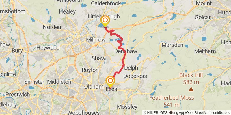
Starting at: Lees, Oldham, OL4 3FR
Ending at: Littleborough, Littleborough, OL15 0AL
Distance: 16.7 km
Elevation gain: 460 m
Duration: 04:05:46
View on mapstage 7

Starting at: Rakewood, Littleborough, OL15 0AL
Ending at: Borough of Rossendale, Lancashire, OL12 8RT
Distance: 19.9 km
Elevation gain: 514 m
Duration: 04:50:18
View on mapstage 8
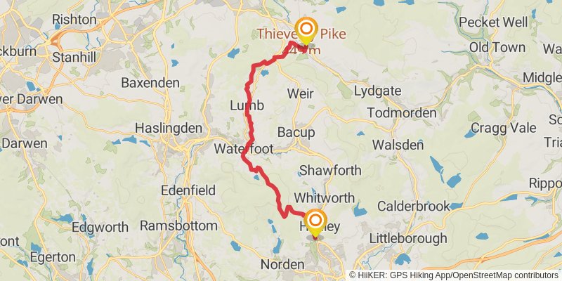
Ending at: Burnley, Lancashire, BB10 4SU
Distance: 22.1 km
Elevation gain: 592 m
Duration: 05:23:49
View on mapstage 9
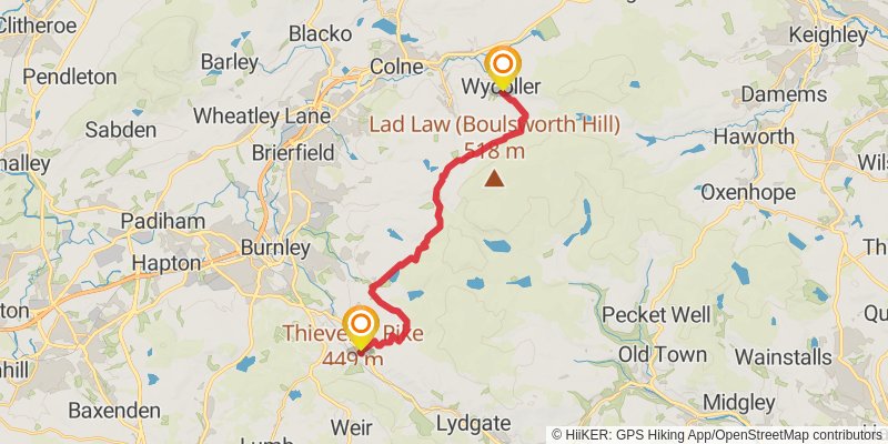
Starting at: Holme Chapel, Lancashire, BB10 4SU
Distance: 18.6 km
Elevation gain: 579 m
Duration: 04:41:34
View on mapstage 10
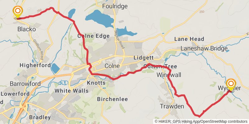
Starting at: Wycoller, Borough of Pendle, Lancashire, BB8 8SY
Ending at: Ribble Valley, Lancashire, BB9 6PL
Distance: 11.8 km
Elevation gain: 263 m
Duration: 02:47:54
View on mapstage 11
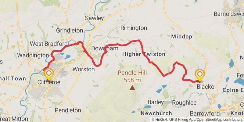
Starting at: Middop, Ribble Valley, Lancashire, BB9 6PG
Distance: 20.6 km
Elevation gain: 434 m
Duration: 04:50:27
View on mapstage 12
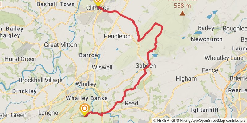
Starting at: Ribble Valley, Lancashire, BB7 2EP
Distance: 18.3 km
Elevation gain: 575 m
Duration: 04:36:40
View on mapstage 13
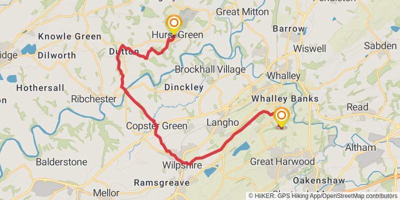
Starting at: Back o' Bowley, Hyndburn, Lancashire, BB6 7PR
Ending at: Ribble Valley, Lancashire, BB7 9QB
Distance: 16.9 km
Elevation gain: 302 m
Duration: 03:52:47
View on mapstage 14
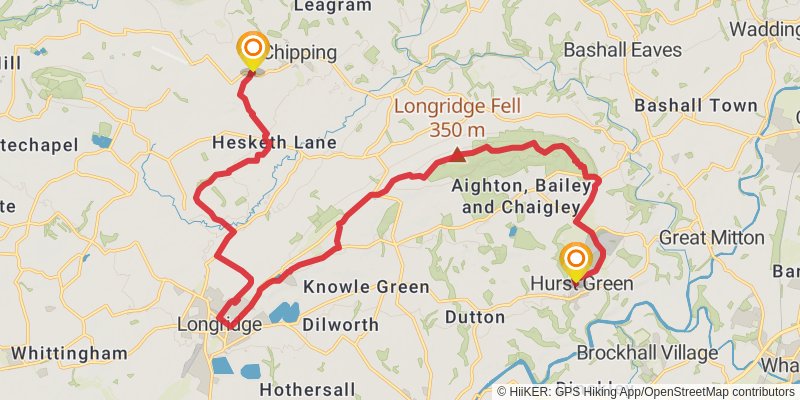
Starting at: Hurst Green, Ribble Valley, Lancashire, BB7 9QB
Ending at: Ribble Valley, Lancashire, PR3 2QJ
Distance: 23.1 km
Elevation gain: 444 m
Duration: 05:21:05
View on mapstage 15
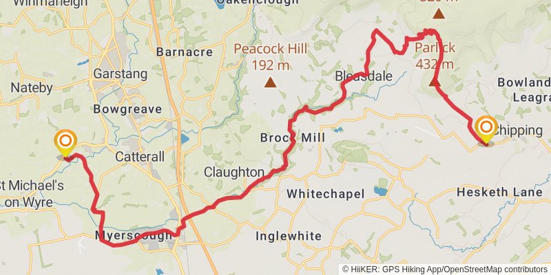
Starting at: Chipping, Ribble Valley, Lancashire, PR3 2QJ
Ending at: Borough of Wyre, Lancashire, PR3 0TB
Distance: 26.5 km
Elevation gain: 510 m
Duration: 06:09:03
View on mapstage 16
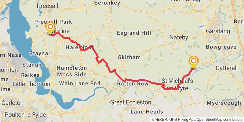
Starting at: Churchtown, Borough of Wyre, Lancashire, PR3 0TB
Distance: 15.7 km
Elevation gain: 67 m
Duration: 03:14:40
View on mapstage 17
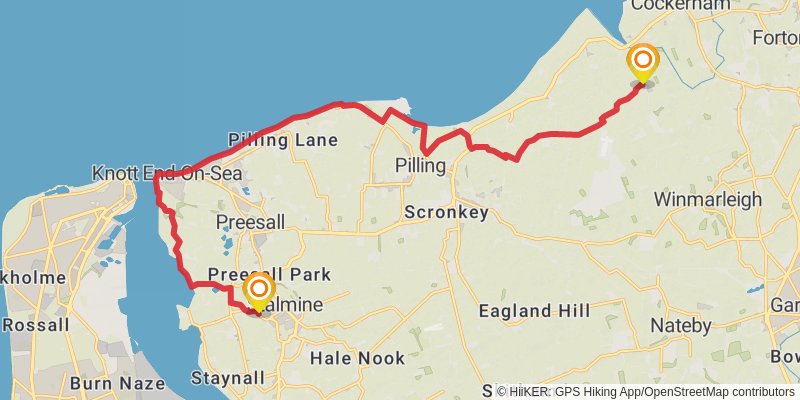
Starting at: Stalmine, Borough of Wyre, Lancashire, FY6 0JH
Ending at: Lancaster, Lancashire, LA2 0ET
Distance: 19.0 km
Elevation gain: 87 m
Duration: 03:56:13
View on mapstage 18
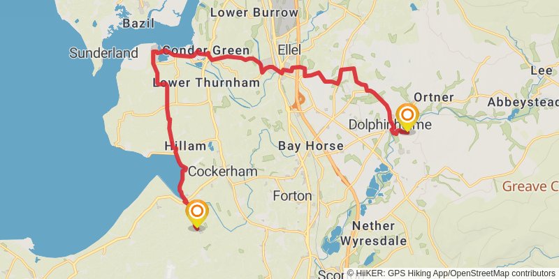
Starting at: Lancaster, Lancashire, LA2 0ET
Ending at: Borough of Wyre, Lancashire, LA2 9DJ
Distance: 18.6 km
Elevation gain: 244 m
Duration: 04:07:48
View on mapstage 19

Ending at: Lancaster, Lancashire, LA2 9JP
Distance: 18.0 km
Elevation gain: 498 m
Duration: 04:26:14
View on mapstage 20
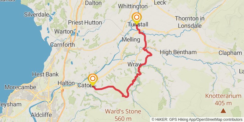
Starting at: Brookhouse, Lancaster, Lancashire, LA2 9JP
Ending at: Lancaster, Lancashire, LA6 2SL
Distance: 22.0 km
Elevation gain: 516 m
Duration: 05:15:16
View on mapstage 21
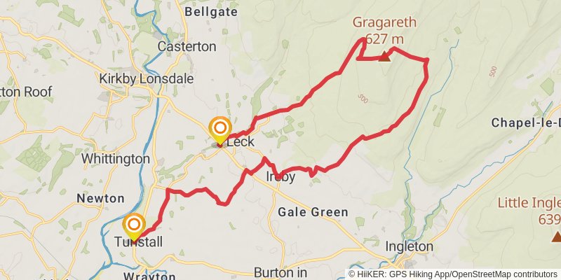
Starting at: Tunstall, Lancaster, Lancashire, LA6 2SL
Ending at: Post Office, Lancaster, Lancashire, LA6 2HS
Distance: 24.4 km
Elevation gain: 716 m
Duration: 06:04:48
View on mapstage 22
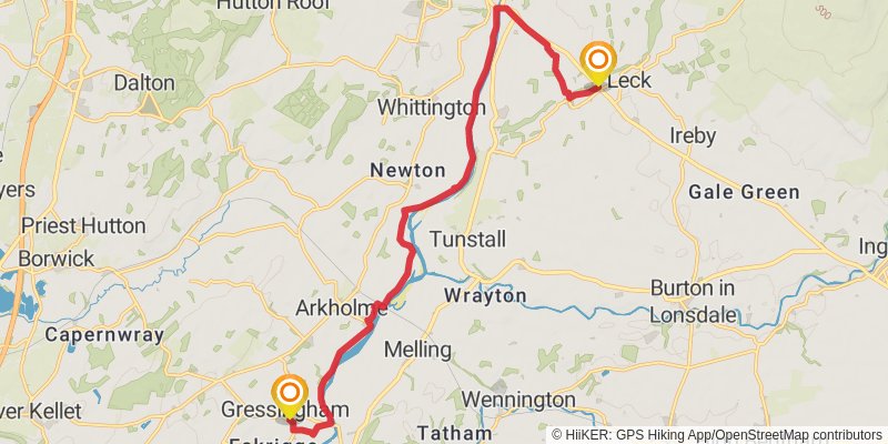
Starting at: Cowan Bridge, Lancaster, Lancashire, LA6 2HS
Distance: 14.9 km
Elevation gain: 97 m
Duration: 03:08:25
View on mapstage 23
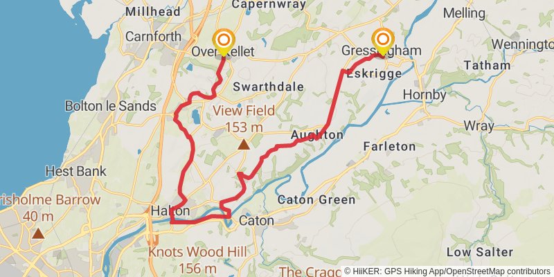
Starting at: Gressingham, Lancaster, Lancashire, LA2 8LP
Ending at: Court House, Lancaster, Lancashire, LA6 1DL
Distance: 18.7 km
Elevation gain: 366 m
Duration: 04:21:04
View on mapstage 24
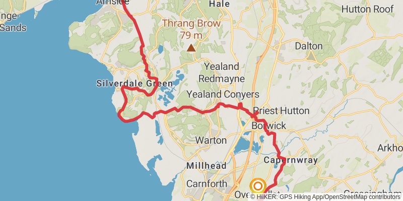
Starting at: Over Kellet, Lancaster, Lancashire, LA6 1DL
Distance: 21.7 km
Elevation gain: 321 m
Duration: 04:52:38
View on mapstage 25
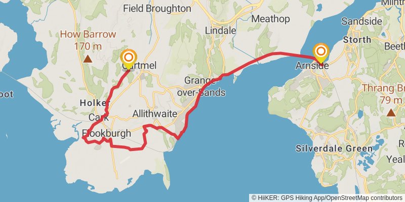
Starting at: Arnside, South Lakeland, Cumbria, LA5 0HG
Distance: 18.8 km
Elevation gain: 217 m
Duration: 04:07:23
View on mapstage 26
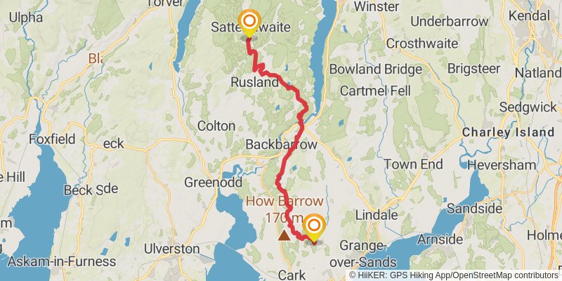
Starting at: Cartmel, South Lakeland, Cumbria, LA11 6QB
Distance: 20.6 km
Elevation gain: 715 m
Duration: 05:19:07
View on mapstage 27
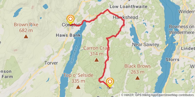
Starting at: Satterthwaite, South Lakeland, Cumbria, LA12 8LL
Ending at: Coniston, Westmorland and Furness, LA21 8EN
Distance: 14.9 km
Elevation gain: 385 m
Duration: 03:37:08
View on mapstage 28
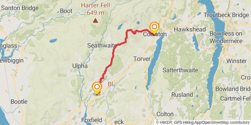
Starting at: Coniston, South Lakeland, Cumbria, LA21 8HJ
Distance: 17.7 km
Elevation gain: 1013 m
Duration: 05:13:57
View on mapstage 29
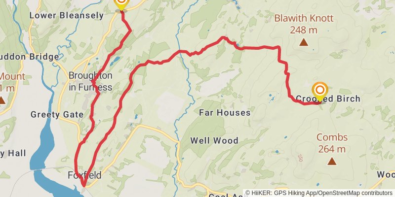
Starting at: South Lakeland, Cumbria, LA20 6AS
Distance: 13.6 km
Elevation gain: 357 m
Duration: 03:19:22
View on mapstage 30
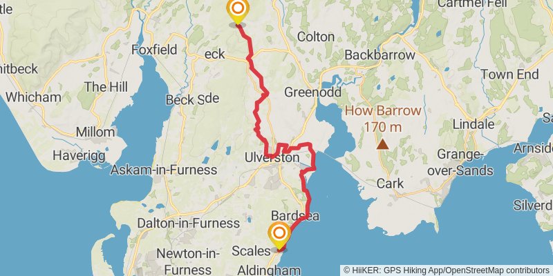
Starting at: Crooked Birch, South Lakeland, Cumbria, LA12 8EP
Distance: 24.5 km
Elevation gain: 436 m
Duration: 05:37:04
View on map