Download
Preview
Add to list
More
15.3 km
~3 hrs 50 min
477 m
Point-to-Point
“Explore a captivating 15 km journey through Gorpley Reservoir's natural beauty, rich history, and diverse wildlife.”
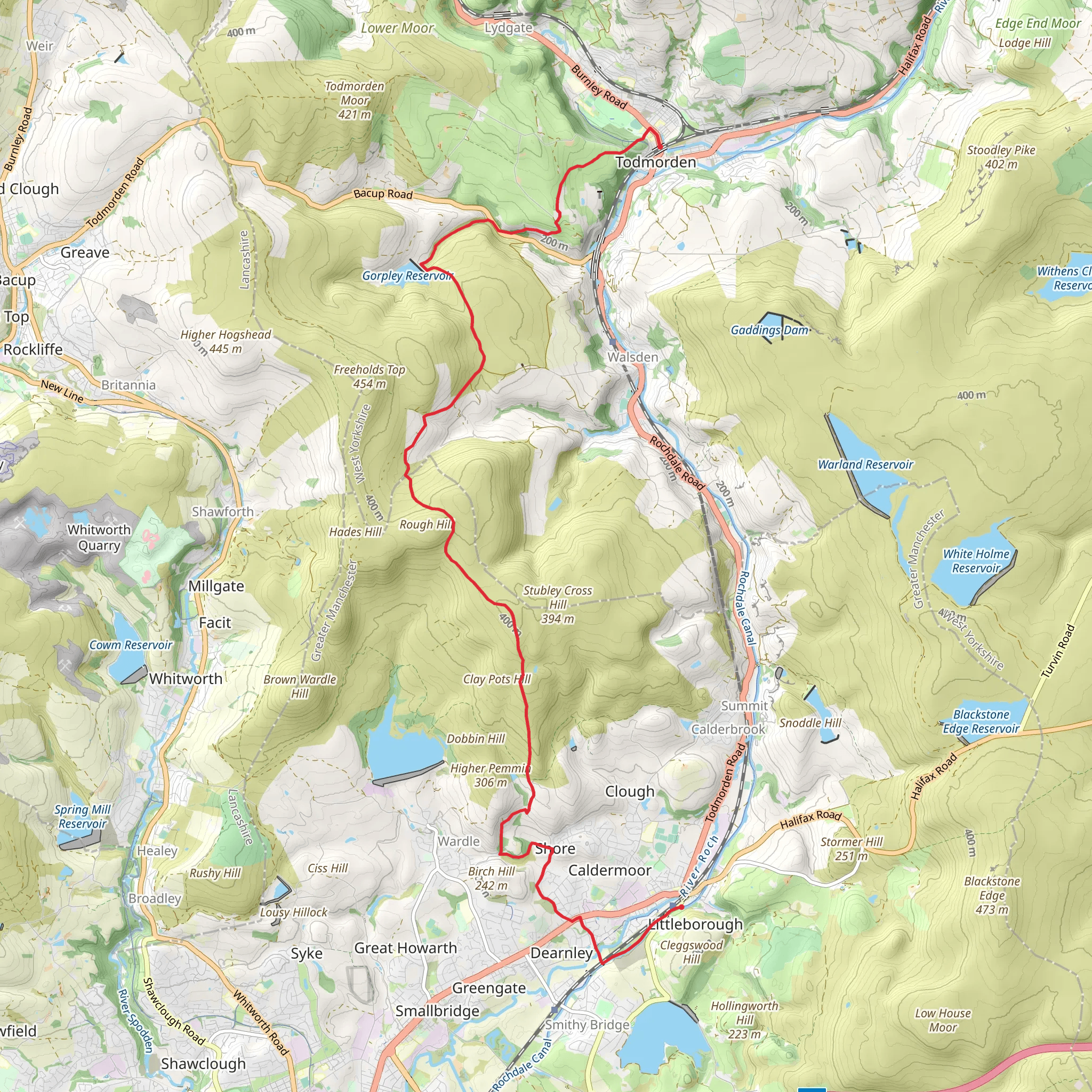
Starting near Littleborough, England, the Gorpley Reservoir and Gorpley Clough Local Nature Reserve trail is a captivating 15 km (approximately 9.3 miles) point-to-point hike with an elevation gain of around 400 meters (about 1,312 feet). This medium-difficulty trail offers a blend of natural beauty, historical significance, and diverse wildlife, making it a rewarding experience for hikers.
Getting There To reach the trailhead, you can drive to Littleborough, which is well-connected by road. If you prefer public transport, Littleborough has a train station with regular services from Manchester and Leeds. From the station, you can take a local bus or taxi to the starting point near the Gorpley Reservoir.
Trail Overview The trail begins near the Gorpley Reservoir, a serene body of water surrounded by lush greenery. As you start your hike, you'll be greeted by the tranquil sounds of water and the sight of various bird species, including herons and kingfishers. The reservoir area is relatively flat, making it an easy start to your journey.
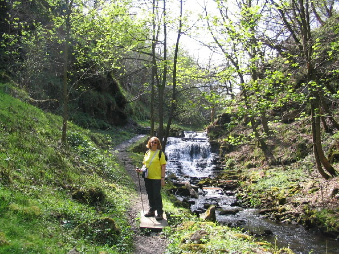
Gorpley Clough Local Nature Reserve Approximately 3 km (1.9 miles) into the hike, you'll enter the Gorpley Clough Local Nature Reserve. This section of the trail is known for its rich biodiversity and stunning landscapes. The clough, or narrow valley, is home to ancient woodlands, where you can spot oak, ash, and birch trees. Keep an eye out for wildlife such as deer, foxes, and a variety of bird species.
Historical Significance Around the 7 km (4.3 miles) mark, you'll come across remnants of old mill buildings and stone structures, a testament to the area's industrial past. The Gorpley Clough was once a hub for textile mills during the Industrial Revolution. These historical landmarks offer a glimpse into the region's rich heritage and are perfect spots for a brief rest and some photography.
Elevation and Terrain As you progress, the trail becomes more challenging with a steady ascent. The elevation gain of 400 meters (1,312 feet) is spread throughout the hike, with some steep sections that require careful footing. The terrain varies from well-trodden paths to rocky and uneven ground, so sturdy hiking boots are recommended.
Scenic Views Around the 10 km (6.2 miles) point, you'll reach higher elevations that offer panoramic views of the surrounding countryside. On a clear day, you can see as far as the Pennine hills. This is an excellent spot to take a break, enjoy a snack, and soak in the breathtaking scenery.
Navigation Given the varied terrain and potential for changing weather conditions, it's advisable to use a reliable navigation tool like HiiKER to stay on track. The app provides detailed maps and real-time updates, ensuring you don't miss any key waypoints or landmarks.
Final Stretch The final 5 km (3.1 miles) of the trail take you through open moorlands and rolling hills, gradually descending towards the endpoint. This section is less forested, offering expansive views and a sense of openness. As you approach the end of the trail, you'll find yourself back near civilization, with easy access to local amenities and transport options.
This hike is a perfect blend of natural beauty, historical intrigue, and physical challenge, making it a must-do for any avid hiker.
What to expect?
Activity types
Comments and Reviews
User comments, reviews and discussions about the Gorpley Reservoir and Gorpley Clough Local Nature Reserve, England.
4.5
average rating out of 5
4 rating(s)

