Download
Preview
Add to list
More
26.1 km
~1 day 0 hrs
307 m
Point-to-Point
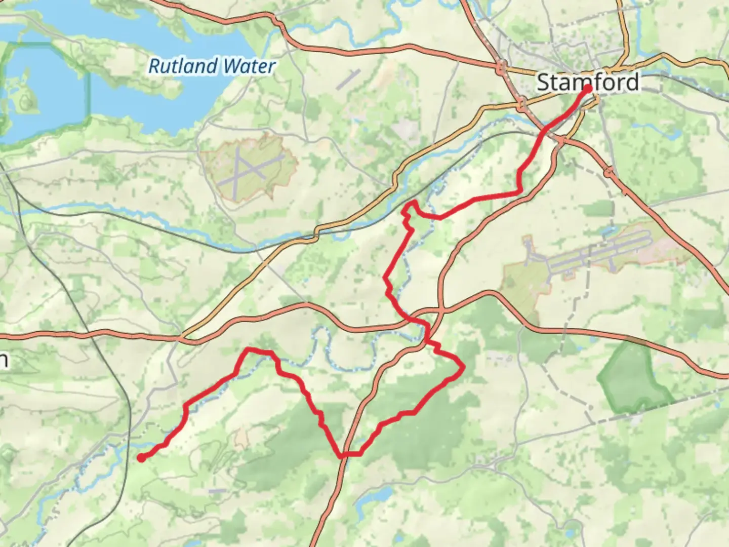
“Explore a 26 km trail from Stamford to Harringworth, rich in history, nature, and moderate challenges.”
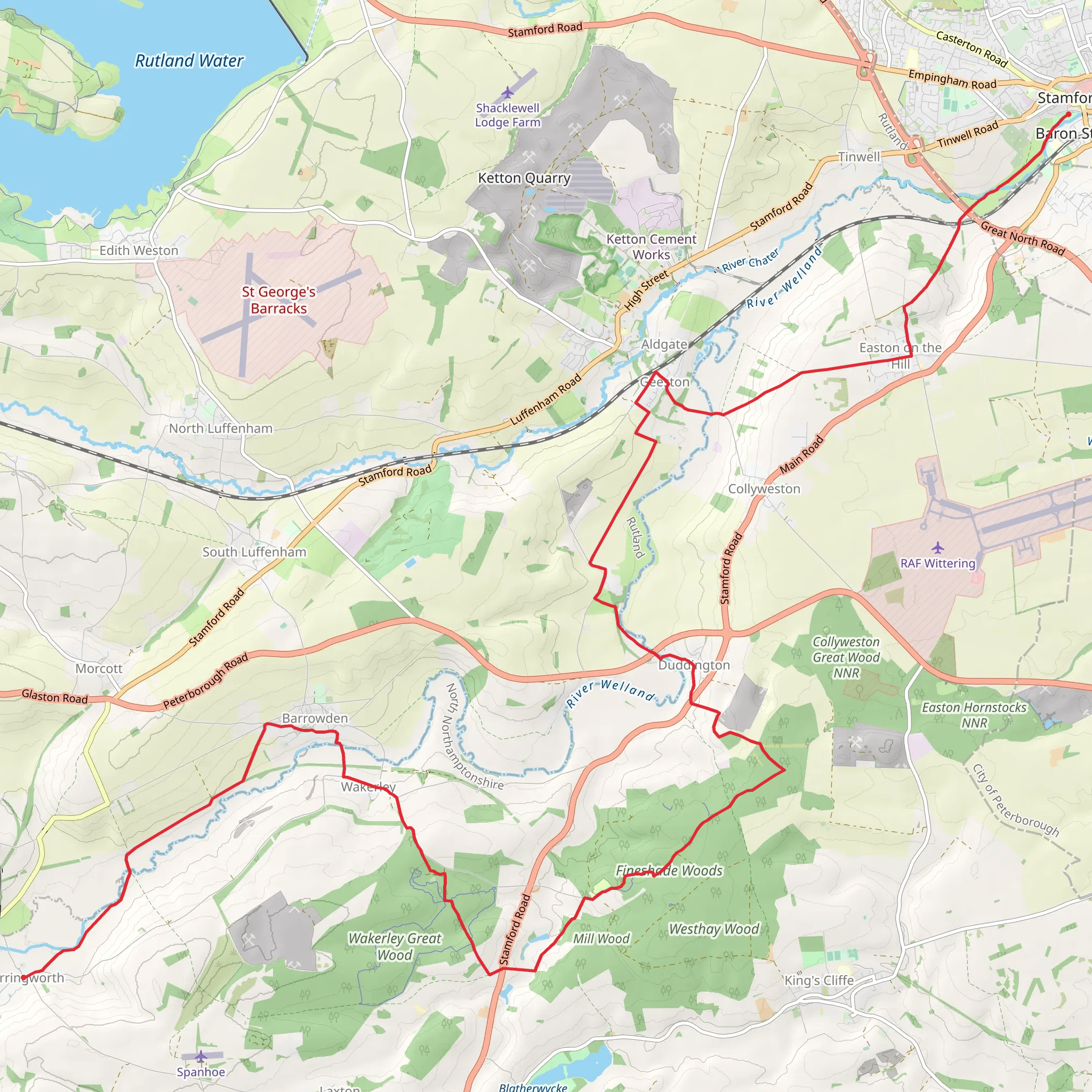
Starting near the picturesque town of Stamford in Lincolnshire, England, this 26 km (16 miles) point-to-point trail offers a delightful mix of historical landmarks, scenic countryside, and moderate elevation changes, making it an engaging hike for those seeking a medium-difficulty adventure. The trailhead is conveniently accessible by both public transport and car. If you're traveling by train, Stamford Railway Station is the nearest stop, and from there, it's a short walk to the trail's starting point. For those driving, parking is available in Stamford, with several car parks to choose from.
Trail Overview
The trail begins in Stamford, a town renowned for its well-preserved Georgian architecture and historical significance. As you set off, you'll pass through the charming streets lined with limestone buildings, eventually making your way into the open countryside. The initial part of the trail is relatively flat, allowing you to ease into the hike while enjoying the pastoral landscapes.
Key Landmarks and Elevation
Approximately 5 km (3 miles) into the hike, you'll encounter Burghley House, a grand 16th-century country house surrounded by expansive parklands. This is a great spot to take a short break and admire the Elizabethan architecture and beautifully landscaped gardens.
Continuing on, the trail gradually ascends, gaining around 300 meters (984 feet) in elevation over its entire length. The next significant landmark is the village of Ketton, located about 10 km (6 miles) from the start. Here, you can explore the historic Ketton Quarry, known for its unique limestone formations and rich fossil deposits.
Nature and Wildlife
As you progress, the trail meanders through a variety of landscapes, including woodlands, meadows, and rolling hills. Keep an eye out for local wildlife such as deer, foxes, and a variety of bird species. The diverse flora along the trail includes wildflowers, ancient oak trees, and hedgerows teeming with life.
Historical Significance
Around the 20 km (12 miles) mark, you'll reach the village of Barrowden, which boasts a history dating back to the Domesday Book. The village green and the 12th-century St. Peter's Church are notable highlights. This area offers a glimpse into England's medieval past and is a perfect spot for a rest and some refreshments.
Final Stretch to Harringworth
The final stretch of the trail leads you towards Harringworth, passing through more serene countryside and offering stunning views of the Welland Valley. As you approach Harringworth, you'll be greeted by the sight of the Harringworth Viaduct, an impressive 19th-century railway viaduct with 82 arches spanning the valley. This architectural marvel marks the end of your hike.
Navigation and Safety
To ensure you stay on track, it's advisable to use HiiKER for navigation. The app provides detailed maps and real-time updates, making it easier to follow the trail and avoid any potential detours. Always carry sufficient water, snacks, and a basic first aid kit. Weather in this region can be unpredictable, so pack layers and waterproof gear.
This trail offers a rich blend of history, nature, and moderate physical challenge, making it a rewarding experience for hikers of all levels.
What to expect?
Activity types
Comments and Reviews
User comments, reviews and discussions about the Stamford to Harringworth Walk, England.
4.33
average rating out of 5
3 rating(s)
