Download
Preview
Add to list
More
6.6 km
~1 hrs 29 min
105 m
Loop
“This 7 km loop trail near Leeds offers lush woodlands, historical landmarks, and serene canal views.”
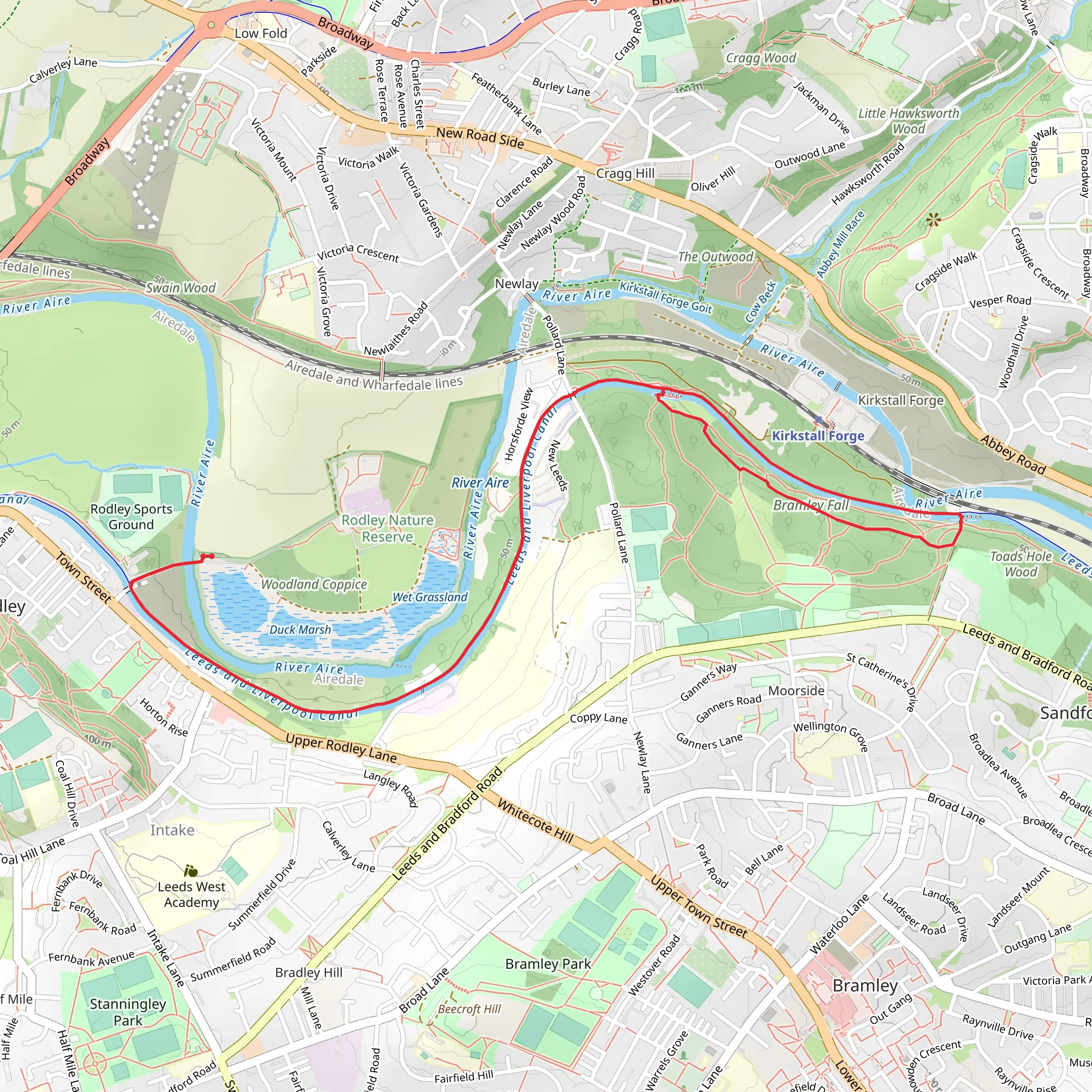
Starting near Leeds, England, this 7 km (approximately 4.3 miles) loop trail offers a delightful mix of natural beauty and historical significance. The trailhead is conveniently located near the Bramley Fall Park, which can be accessed by public transport or car. If you're taking public transport, the nearest significant landmark is the Bramley train station, which is just a short walk from the park. For those driving, there is parking available at Bramley Fall Park.
Trail Overview
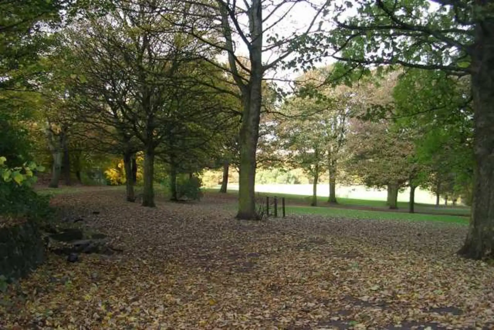
The trail begins in Bramley Fall Park, a lush green space known for its mature woodland and serene atmosphere. As you start your hike, you'll be greeted by a variety of tree species, including oak, beech, and sycamore. The park is also home to a diverse range of wildlife, so keep an eye out for squirrels, various bird species, and even the occasional fox.
Bramley Fall Park to Leeds and Liverpool Canal
After exploring the park, the trail leads you to the Leeds and Liverpool Canal. This section of the trail is relatively flat, making it a pleasant walk along the water's edge. The canal itself is steeped in history, having been completed in 1816 to facilitate the transportation of goods during the Industrial Revolution. As you walk along the towpath, you'll pass by several historical landmarks, including old mills and warehouses that have been repurposed for modern use.
Significant Landmarks and Points of Interest
- Bramley Fall Woods: Approximately 1 km (0.6 miles) into your hike, you'll come across the Bramley Fall Woods, a beautiful area perfect for a short detour. The woods are known for their bluebells in the spring and offer a peaceful retreat from the main trail. - Kirkstall Abbey: About 3 km (1.9 miles) into the hike, you'll have the option to take a slight detour to visit Kirkstall Abbey, a stunning 12th-century Cistercian monastery. The ruins are well-preserved and provide a fascinating glimpse into the region's medieval history. - Rodley Nature Reserve: Around the 5 km (3.1 miles) mark, you'll pass by the Rodley Nature Reserve. This wetland reserve is a haven for birdwatchers, with species such as kingfishers, herons, and various waterfowl frequently spotted.
Elevation and Terrain
The trail has an elevation gain of around 100 meters (328 feet), with most of the elevation occurring in the first half of the hike as you navigate through Bramley Fall Park. The terrain is a mix of well-maintained paths, woodland trails, and canal towpaths. While the trail is rated as medium difficulty, it is accessible to most hikers with a moderate level of fitness.
Navigation and Safety
For navigation, it is recommended to use the HiiKER app, which provides detailed maps and real-time updates. The trail is well-marked, but having a reliable navigation tool will ensure you stay on track and can easily find points of interest along the way.
Getting There
To reach the trailhead, you can take a train to Bramley station, which is well-connected to Leeds city center. From the station, it's a short walk to Bramley Fall Park. If you're driving, there is ample parking available at the park. The nearest significant address for GPS navigation is Bramley Fall Park, Leeds, LS13 1HL.
This trail offers a perfect blend of natural beauty, historical landmarks, and wildlife, making it an excellent choice for a day hike near Leeds.
What to expect?
Activity types
Comments and Reviews
User comments, reviews and discussions about the Bramley Fall Park and Leeds and Liverpool Canal Walk, England.
4.33
average rating out of 5
3 rating(s)

