Download
Preview
Add to list
More
12.4 km
~3 hrs 10 min
415 m
Loop
“Explore Lancashire's scenic countryside on this 12 km loop, blending natural beauty with historical intrigue.”
Starting near Lancashire, England, this 12 km (7.5 miles) loop trail offers a moderate challenge with an elevation gain of approximately 400 meters (1,312 feet). The trailhead is accessible by car, with parking available near the village of Wycoller. For those using public transport, the nearest train station is Colne, from which you can take a bus or taxi to Wycoller.
Trail Overview
The trail begins in the picturesque village of Wycoller, known for its historic ruins and charming stone bridges. As you set off, you'll follow the Bronte Way, a path named after the famous Bronte sisters who lived in the nearby village of Haworth. The initial section is relatively flat, allowing you to ease into the hike while enjoying the serene countryside.
Pot Brinks Moor
After approximately 3 km (1.9 miles), you'll reach Pot Brinks Moor. This area is characterized by its open moorland and sweeping views. The terrain here can be boggy, especially after rain, so waterproof boots are recommended. Keep an eye out for the diverse birdlife, including curlews and lapwings, which are common in this habitat.
Rieve Edge
Continuing for another 2 km (1.2 miles), you'll ascend towards Rieve Edge. This section involves a steady climb, gaining around 150 meters (492 feet) in elevation. The path can be rocky and uneven, so take care with your footing. From Rieve Edge, you'll be rewarded with panoramic views of the surrounding valleys and hills. On a clear day, you can see as far as Pendle Hill to the northwest.
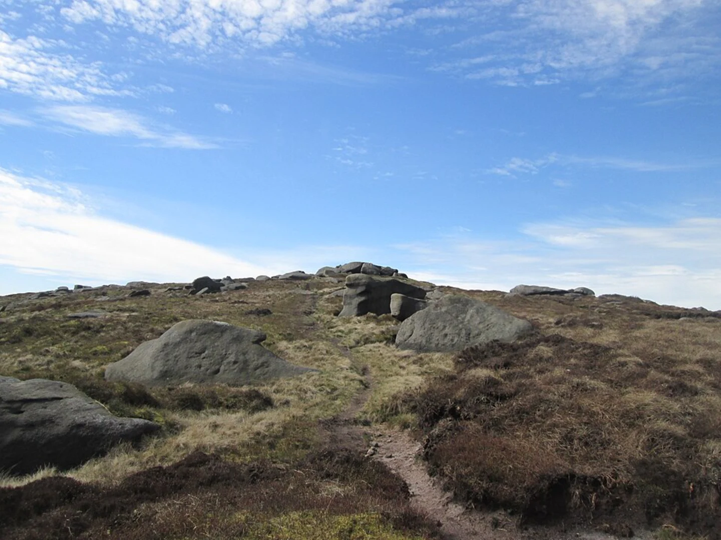
Boulsworth Hill
The trail then leads you to Boulsworth Hill, the highest point of the hike at 511 meters (1,677 feet) above sea level. The climb to the summit is steep but manageable, with an elevation gain of about 100 meters (328 feet) over 1 km (0.6 miles). At the top, you'll find a trig point marking the summit. This is an excellent spot for a rest and a picnic, offering 360-degree views of the Pennine landscape.
Descent and Return
From Boulsworth Hill, the trail descends gradually back towards Wycoller. The descent is less strenuous, allowing you to enjoy the scenery without too much effort. You'll pass through a mix of moorland and farmland, with dry stone walls and grazing sheep adding to the quintessentially English countryside experience.
Historical Significance
Wycoller itself is steeped in history, with its ancient packhorse bridge and the ruins of Wycoller Hall, which is believed to have inspired Ferndean Manor in Charlotte Bronte's "Jane Eyre." The village is a conservation area, preserving its historical charm and offering a glimpse into rural life in the 18th and 19th centuries.
Navigation
For navigation, it's advisable to use HiiKER, which provides detailed maps and real-time tracking to ensure you stay on the correct path. The trail is well-marked, but having a reliable navigation tool can enhance your hiking experience and provide peace of mind.
This trail offers a blend of natural beauty, historical intrigue, and moderate physical challenge, making it a rewarding hike for those looking to explore the Lancashire countryside.

What to expect?
Activity types
Comments and Reviews
User comments, reviews and discussions about the Pot Brinks Moor, Rieve Edge and Boulsworth Hill via Bronte Way, England.
4.0
average rating out of 5
2 rating(s)