Download
Preview
Add to list
More
12.5 km
~2 hrs 49 min
203 m
Loop
“The Garstang to Caldervale Loop is a delightful 12 km trail offering scenic views, rich history, and moderate difficulty.”
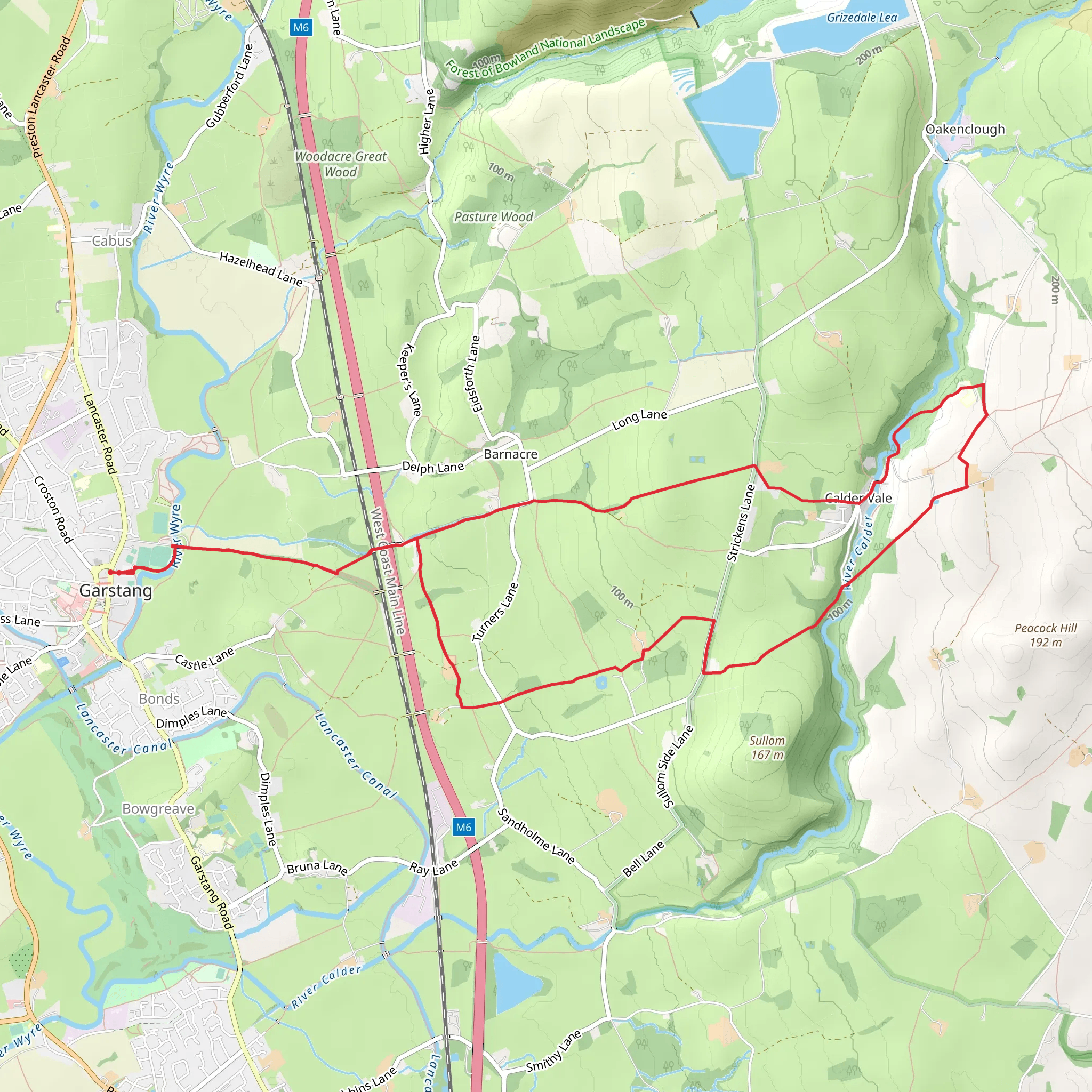
Starting near the charming town of Garstang in Lancashire, England, the Garstang to Caldervale Loop is a delightful 12 km (7.5 miles) trail with an elevation gain of approximately 200 meters (656 feet). This loop trail offers a medium difficulty rating, making it suitable for moderately experienced hikers.### Getting There To reach the trailhead, you can either drive or use public transport. If you're driving, set your GPS to Garstang, Lancashire. There are several parking options available in the town. For those using public transport, Garstang is accessible via bus services from Preston and Lancaster. The nearest significant landmark to the trailhead is the Garstang Tourist Information Centre.### Trail Overview The trail begins in Garstang, a historic market town known for its picturesque streets and friendly atmosphere. As you set off, you'll quickly find yourself immersed in the lush countryside, with the River Wyre accompanying you for the initial part of the hike. The riverbanks are teeming with wildlife, including kingfishers and herons, so keep your eyes peeled.### Historical Significance Garstang itself has a rich history, dating back to the Domesday Book of 1086. As you hike, you'll pass through areas that have been inhabited for centuries. The trail takes you near the ruins of Greenhalgh Castle, built in 1490 by Thomas Stanley, the 1st Earl of Derby. Though now in ruins, the castle offers a glimpse into the region's medieval past.### Key Sections and Landmarks
Garstang to Caldervale
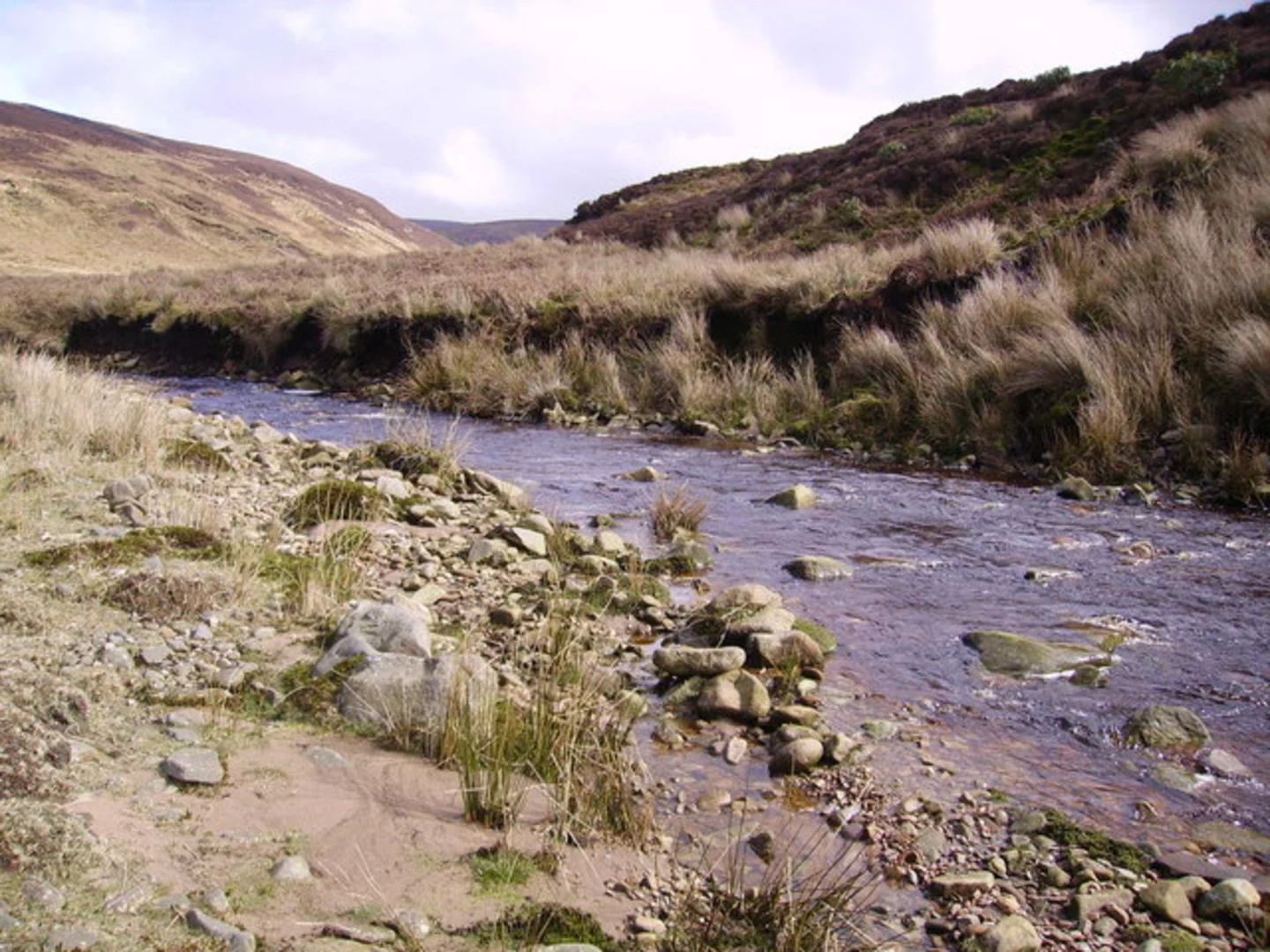
The first section of the trail takes you from Garstang to Caldervale, a quaint village known for its textile mills. This part of the hike is relatively flat, making it a good warm-up. You'll walk through open fields and woodlands, with occasional stiles and gates to navigate. The elevation gain here is minimal, around 50 meters (164 feet).#### Caldervale to Nicky Nook From Caldervale, the trail ascends towards Nicky Nook, a prominent hill offering panoramic views of the surrounding countryside. This section is more challenging, with an elevation gain of about 100 meters (328 feet) over a short distance. The climb is worth it, as the summit provides stunning vistas of the Forest of Bowland and, on clear days, even the Lake District.#### Nicky Nook to Garstang Descending from Nicky Nook, the trail takes you back towards Garstang. This section is a mix of gentle slopes and flat terrain, making for a pleasant end to your hike. You'll pass through Barnacre, a small hamlet with a charming church and traditional stone cottages. The final stretch follows the Lancaster Canal, where you can enjoy the serene waters and watch narrowboats glide by.### Navigation and Safety For navigation, it's highly recommended to use the HiiKER app, which provides detailed maps and real-time updates. The trail is well-marked, but having a reliable navigation tool ensures you stay on track. Wear sturdy hiking boots, as some sections can be muddy, especially after rain. Carry enough water and snacks, as there are limited facilities along the route.### Flora and Fauna The trail is rich in biodiversity. In spring and summer, the meadows are awash with wildflowers like bluebells and buttercups. The woodlands are home to deer, foxes, and a variety of bird species. If you're lucky, you might even spot a red squirrel, a rare sight in England.### Final Stretch As you approach Garstang, take a moment to enjoy the peaceful surroundings. The town offers several pubs and cafes where you can relax and refuel after your hike. The Garstang to Caldervale Loop is a rewarding trail that combines natural beauty, historical landmarks, and a touch of adventure, making it a must-visit for any hiking enthusiast.
What to expect?
Activity types
Comments and Reviews
User comments, reviews and discussions about the Garstang to Caldervale Loop, England.
average rating out of 5
0 rating(s)

