Download
Preview
Add to list
More
27.7 km
~1 day 1 hrs
609 m
Loop
“This 28 km loop near Kirklees combines serene reservoirs, historical landmarks, and breathtaking moorland views.”
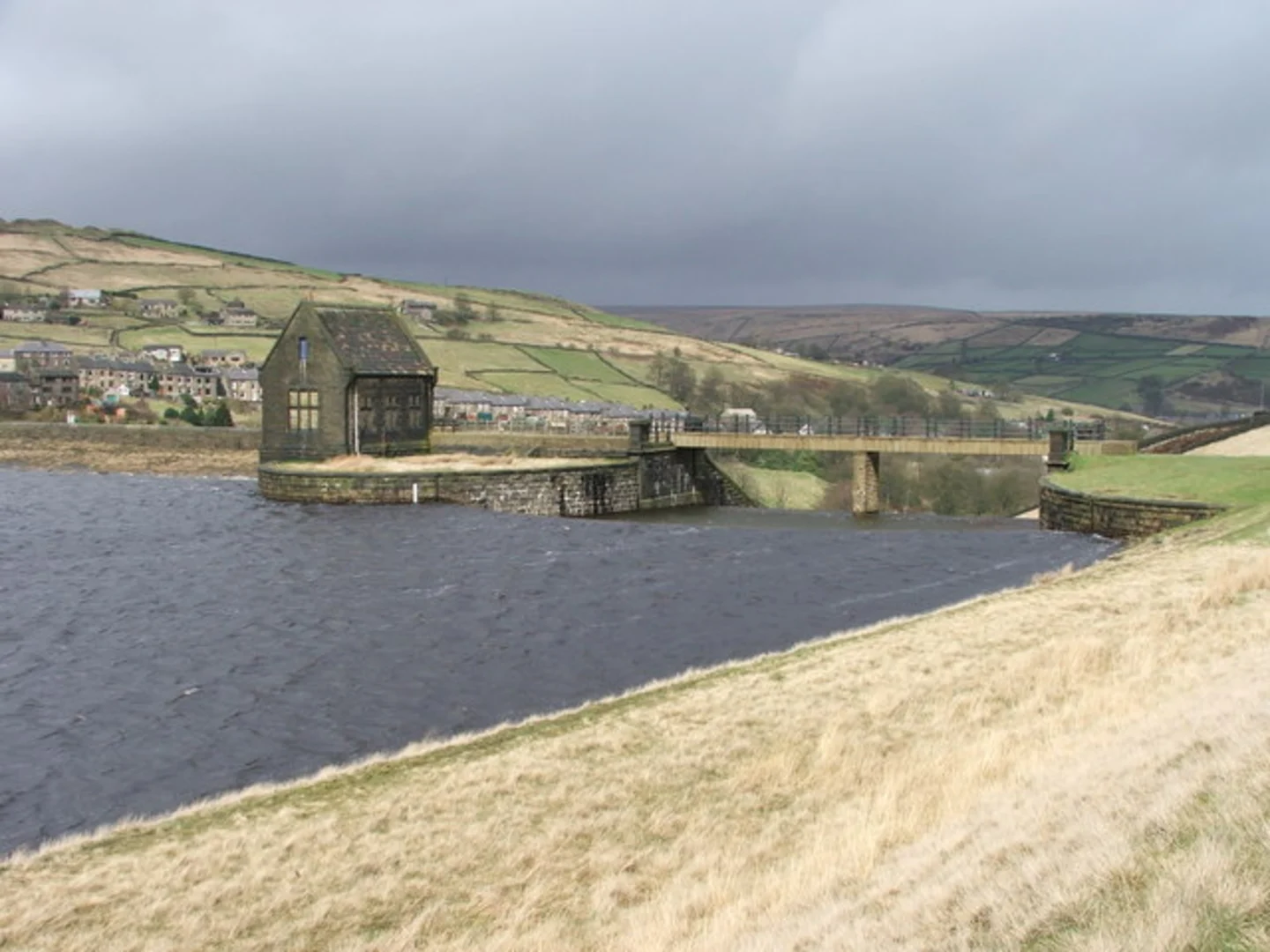
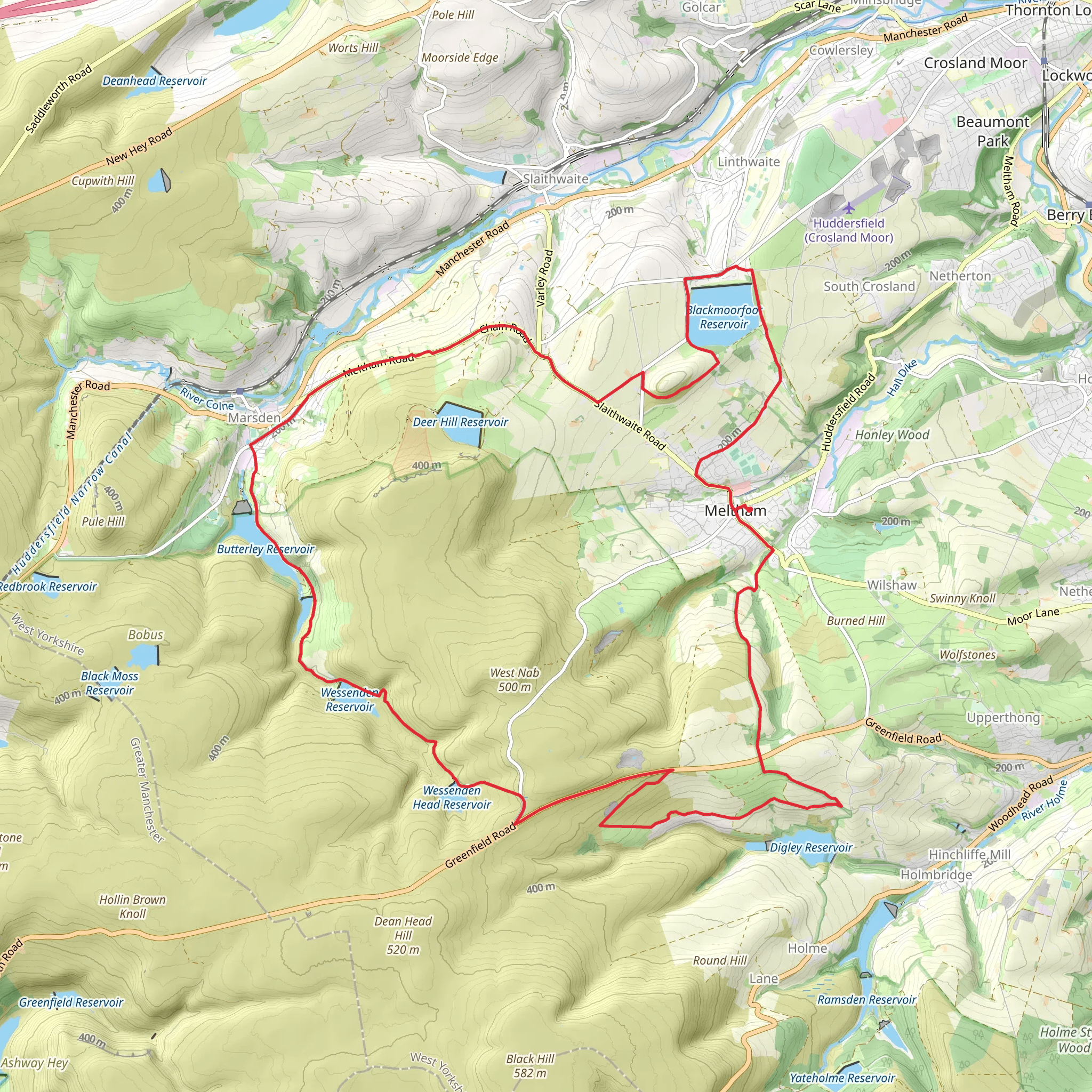
Starting near Kirklees, England, this 28 km (approximately 17.4 miles) loop trail offers a moderate challenge with an elevation gain of around 600 meters (about 1,969 feet). The trailhead is easily accessible by car or public transport. If you're driving, you can park near the village of Meltham. For those using public transport, buses from Huddersfield frequently service Meltham, making it a convenient starting point.### Initial Ascent and Blackmoorfoot ReservoirThe trail begins with a gentle ascent, gradually increasing in elevation as you make your way towards Blackmoorfoot Reservoir. This initial stretch is about 5 km (3.1 miles) and offers a mix of open fields and woodland paths. The reservoir itself is a significant landmark, providing a serene spot for a brief rest. Birdwatchers will appreciate the variety of waterfowl that frequent the area, including ducks, swans, and occasionally, herons.### Butterley Reservoir and Historical SignificanceContinuing from Blackmoorfoot, the trail leads you towards Butterley Reservoir, approximately 10 km (6.2 miles) into the hike. This section involves a moderate climb, adding about 200 meters (656 feet) to your elevation gain. Butterley Reservoir is not just a picturesque spot but also holds historical significance. It was constructed in the 19th century to supply water to the Huddersfield Narrow Canal, a vital waterway during the Industrial Revolution. The reservoir's stone embankments and spillways are engineering marvels worth noting.### Marsden and the Pennine WayAs you proceed, the trail takes you towards Marsden, a charming village known for its rich industrial heritage. This segment is roughly 8 km (5 miles) from Butterley Reservoir and involves a descent followed by a gradual climb. Marsden is a great place to explore, with its historic mills and the Standedge Tunnel, the longest canal tunnel in the UK. The village also marks the intersection with the Pennine Way, a famous long-distance footpath.### Return Loop and Scenic ViewsThe final leg of the trail loops back towards Meltham, covering the remaining 5 km (3.1 miles). This section offers some of the most scenic views of the hike, with panoramic vistas of the surrounding moorlands and valleys. The descent is relatively gentle, making for a pleasant end to your journey. Keep an eye out for local wildlife, including deer and various bird species that inhabit the moorlands.### Navigation and SafetyFor navigation, it's highly recommended to use the HiiKER app, which provides detailed maps and real-time updates. The trail is well-marked, but having a reliable navigation tool ensures you stay on track. Weather can be unpredictable, so pack accordingly with waterproof gear and layers. The terrain can be uneven and muddy, especially after rain, so sturdy hiking boots are essential.This loop trail offers a blend of natural beauty, historical landmarks, and moderate physical challenge, making it a rewarding experience for hikers of all levels.
What to expect?
Activity types
Comments and Reviews
User comments, reviews and discussions about the Meltham, Blackmoorfoot and Marsden Loop via Butterley Reservoir, England.
5.0
average rating out of 5
1 rating(s)

