Download
Preview
Add to list
More
26.3 km
~1 day 1 hrs
582 m
Point-to-Point
“Explore a scenic 26 km trail from Sevenoaks to Hurst Green, rich in history and natural beauty.”
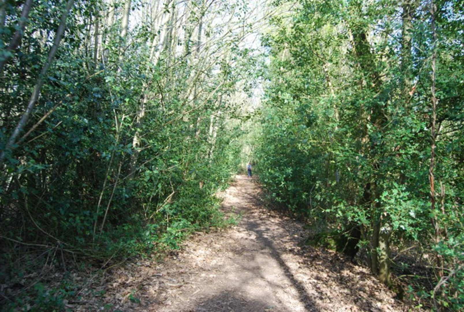
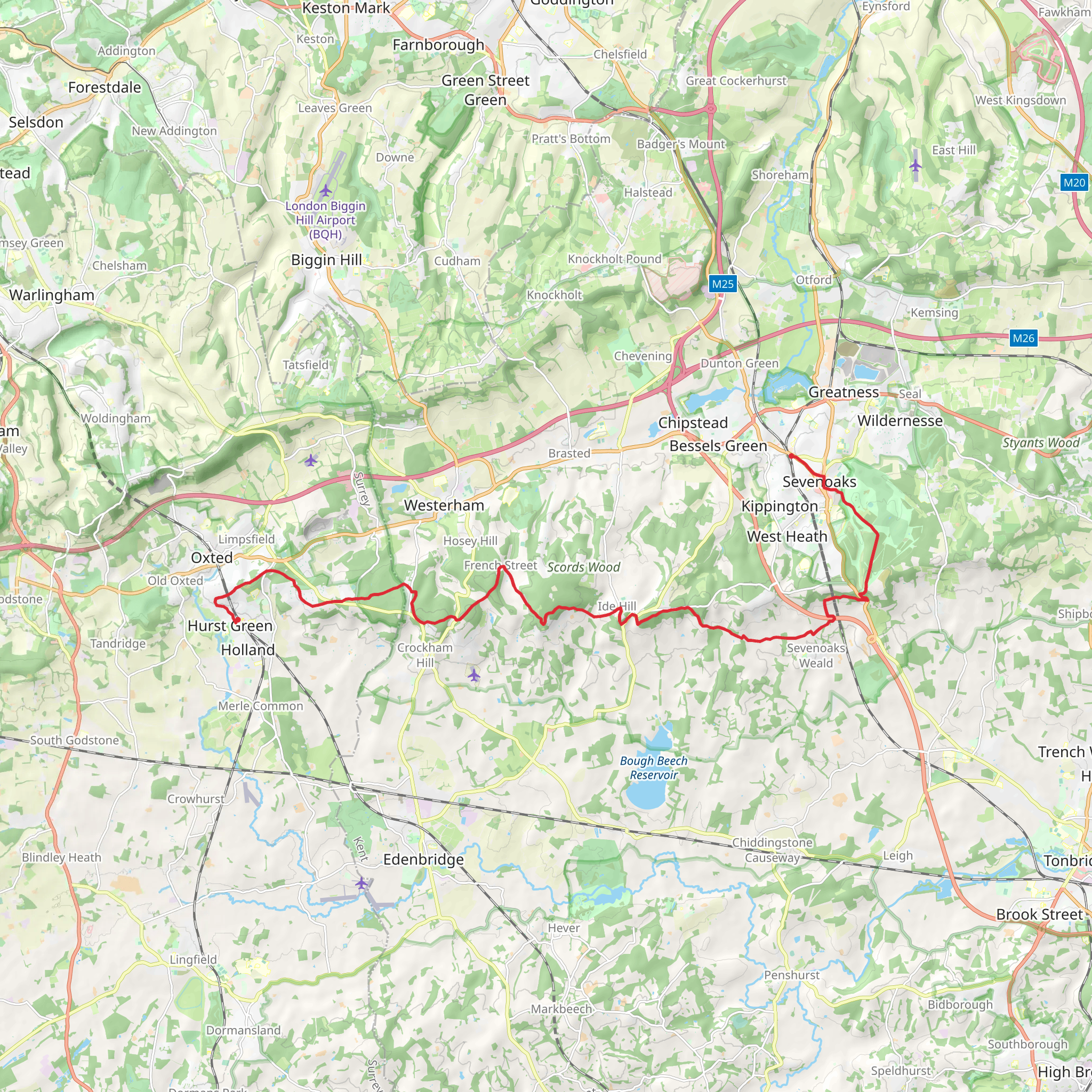
Starting near the charming town of Sevenoaks in Kent, England, this 26 km (16 miles) point-to-point trail offers a delightful mix of natural beauty, historical landmarks, and moderate physical challenge. With an elevation gain of around 500 meters (1,640 feet), hikers can expect a varied terrain that includes rolling hills, dense woodlands, and open fields.### Getting There To reach the trailhead, you can take a train to Sevenoaks Station, which is well-connected to London and other major cities. If driving, there are several parking options available in Sevenoaks, including the Sevenoaks Station Car Park.### Trail Overview The trail begins in Sevenoaks, a town known for its historical significance and picturesque landscapes. As you set off, you'll pass through Knole Park, a 1,000-acre deer park that dates back to the 15th century. Keep an eye out for the majestic Knole House, a grand estate that has stood the test of time.### Key Landmarks and Natural Features - Knole Park (0-3 km / 0-1.9 miles): This initial stretch is relatively flat and easy, making it a great warm-up. The park is home to a variety of wildlife, including deer, and offers stunning views of the surrounding countryside. - River Darent (3-10 km / 1.9-6.2 miles): As you continue, you'll follow the meandering River Darent. This section is particularly scenic, with lush greenery and the gentle sound of flowing water accompanying your steps. The elevation gain here is minimal, making it a pleasant walk. - Otford (10-13 km / 6.2-8.1 miles): The village of Otford is a great place to take a break. Here, you can explore the Otford Palace ruins, a historical site dating back to the 16th century. The village also offers a few quaint cafes and pubs where you can refuel.### Mid-Trail Challenges - North Downs Way (13-20 km / 8.1-12.4 miles): After leaving Otford, the trail intersects with the North Downs Way, a long-distance path that offers more challenging terrain. This section includes some steep ascents and descents, contributing significantly to the overall elevation gain. The views from the higher points are well worth the effort, offering panoramic vistas of the Kent countryside. - Westerham Heights (20-23 km / 12.4-14.3 miles): One of the highest points on the trail, Westerham Heights, provides a rewarding challenge. The climb is steep but short, and the summit offers breathtaking views. This is a good spot to take a moment and appreciate the journey so far.### Final Stretch - Limpsfield Chart (23-26 km / 14.3-16 miles): The final section of the trail takes you through Limpsfield Chart, a beautiful area of ancient woodland. The terrain here is relatively flat, making for a gentle end to your hike. The dense forest is home to a variety of bird species, so keep your eyes and ears open.### Ending in Hurst Green The trail concludes in the village of Hurst Green. From here, you can catch a train back to London or other destinations from Hurst Green Station. If you drove, you might need to arrange transportation back to Sevenoaks.### Navigation For navigation, it's highly recommended to use HiiKER, which provides detailed maps and real-time updates to ensure you stay on track.This trail offers a perfect blend of natural beauty, historical landmarks, and moderate physical challenge, making it an excellent choice for hikers looking to explore the Kent countryside.
What to expect?
Activity types
Comments and Reviews
User comments, reviews and discussions about the Sevenoaks to Hurst Green Walk, England.
average rating out of 5
0 rating(s)

