Download
Preview
Add to list
More
20.7 km
~4 hrs 14 min
60 m
Loop
“Explore Kent's serene countryside and rich history on the 21 km Royal Military Canal trail.”
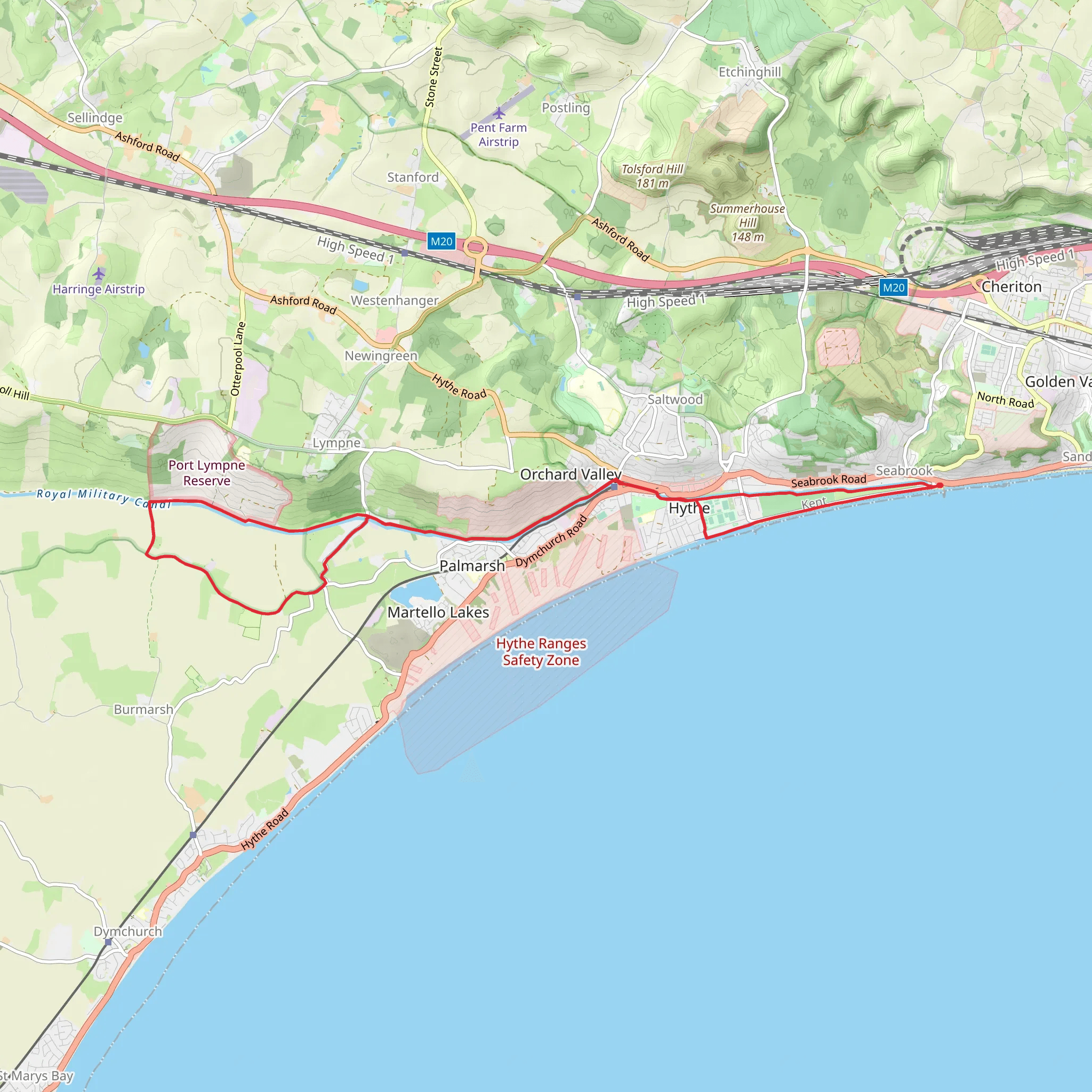
Starting near the charming town of Hythe in Kent, England, the Royal Military Canal trail offers a unique blend of natural beauty and historical significance. This 21 km (approximately 13 miles) loop trail is relatively flat, with an elevation gain of around 0 meters, making it accessible for hikers of varying skill levels, though it is rated as medium difficulty due to its length.
Getting There To reach the trailhead, you can take a train to Hythe from London, which takes about 1.5 to 2 hours. From the Hythe train station, it's a short walk to the start of the trail. If you're driving, there are several parking options available in Hythe, including public car parks near the town center.
Historical Significance The Royal Military Canal was constructed during the early 19th century as a defense against potential invasion by Napoleon's forces. The canal stretches for 28 miles (45 km) in total, though this trail covers a 21 km loop section. Along the way, you'll encounter various historical markers and remnants of military installations, providing a fascinating glimpse into England's past.
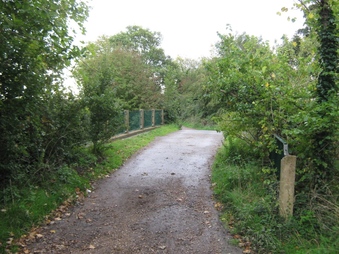
Trail Highlights - **Hythe to West Hythe (0-5 km / 0-3 miles):** Starting from Hythe, the trail meanders through picturesque countryside and alongside the tranquil waters of the canal. Keep an eye out for the Martello Towers, small defensive forts built during the Napoleonic Wars. The first 5 km (3 miles) are relatively easy, with well-maintained paths and plenty of spots to rest and take in the scenery.
- West Hythe to Appledore (5-15 km / 3-9 miles): As you continue, the trail becomes more secluded, offering a peaceful escape from urban life. This section is rich in wildlife, including various bird species and small mammals. The path here is a mix of gravel and grass, so sturdy walking shoes are recommended. You'll pass through the quaint village of Appledore, where you can take a break and perhaps enjoy a meal at a local pub.
- Appledore to Hythe (15-21 km / 9-13 miles): The final stretch takes you back towards Hythe, following the canal closely. This section is particularly scenic, with lush greenery and occasional glimpses of the surrounding countryside. The path is mostly flat and easy to navigate, making for a pleasant end to your hike.
Navigation and Safety For navigation, it's highly recommended to use the HiiKER app, which provides detailed maps and real-time updates. The trail is well-marked, but having a reliable navigation tool can enhance your experience and ensure you stay on track.
Flora and Fauna The Royal Military Canal trail is a haven for nature enthusiasts. Depending on the season, you might see wildflowers, butterflies, and a variety of bird species, including kingfishers and herons. The canal itself is home to fish and amphibians, adding to the biodiversity of the area.
Practical Tips - **Footwear:** Given the mix of gravel and grass paths, sturdy walking shoes are advisable. - **Weather:** The weather in Kent can be unpredictable, so bring layers and waterproof gear. - **Supplies:** There are limited facilities along the trail, so carry enough water and snacks for the entire hike. - **Respect the Environment:** As always, follow the Leave No Trace principles to keep the trail beautiful for future hikers.
This trail offers a perfect blend of history, nature, and tranquility, making it a must-visit for anyone looking to explore the Kent countryside.
What to expect?
Activity types
Comments and Reviews
User comments, reviews and discussions about the Royal Military Canal, England.
4.67
average rating out of 5
3 rating(s)

