Download
Preview
Add to list
More
8.2 km
~1 hrs 51 min
139 m
Loop
“"Explore history and nature on the Joydens Wood Long Loop, an 8 km trail ideal for moderate hikers."”
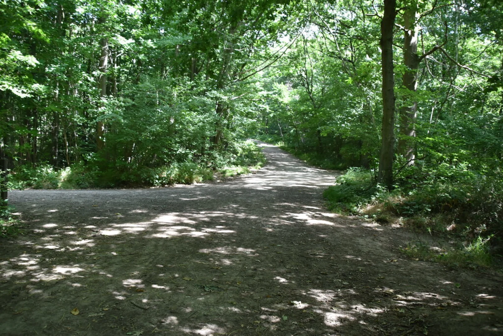
Starting near Kent, England, the Joydens Wood Long Loop is an 8 km (approximately 5 miles) trail with an elevation gain of around 100 meters (328 feet). This loop trail is estimated to be of medium difficulty, making it suitable for moderately experienced hikers.### Getting There To reach the trailhead, you can drive or use public transport. If driving, you can park near the Bexley area, specifically around Joyden's Wood Road. For those using public transport, the nearest train station is Bexley Station, which is about 2 miles (3.2 km) from the trailhead. From the station, you can take a local bus or a taxi to reach the starting point.### Trail Overview The trail begins in a serene woodland setting, offering a mix of broadleaf and coniferous trees. As you start, you'll notice the dense canopy overhead, providing ample shade and a cool atmosphere, especially during the summer months. The initial part of the trail is relatively flat, making it a good warm-up for the more undulating sections ahead.### Significant Landmarks and Points of Interest - Old Roman Road: About 1.5 km (0.9 miles) into the hike, you'll come across remnants of an old Roman road. This historical path gives you a glimpse into the ancient routes that once connected various parts of England. - Fauna and Flora: Joydens Wood is home to a variety of wildlife, including deer, foxes, and numerous bird species. Keep an eye out for woodpeckers and owls, especially in the early morning or late afternoon. - The Moat: Around the 4 km (2.5 miles) mark, you'll encounter a medieval moat, believed to be part of an old manor house. This is a great spot to take a break and enjoy the historical ambiance. - Bluebell Woods: In the spring, the trail passes through sections carpeted with bluebells, creating a stunning visual display. This occurs roughly around the 5 km (3.1 miles) point.### Trail Navigation The trail is well-marked, but it's always a good idea to have a reliable navigation tool. HiiKER is recommended for its detailed maps and real-time updates. The app can help you stay on track and provide additional information about the trail.### Elevation and Terrain The elevation gain is gradual, with the most significant climbs occurring between the 3 km (1.9 miles) and 6 km (3.7 miles) marks. The terrain varies from compact dirt paths to more rugged sections with exposed tree roots and occasional muddy patches, especially after rain.### Historical Significance Joydens Wood has a rich history, dating back to Roman times. The presence of the old Roman road and medieval moat adds a layer of historical intrigue to your hike. The woodlands were also used during World War II, and you might come across remnants of old military structures.### Final Stretch As you approach the final 2 km (1.2 miles), the trail loops back towards the starting point. This section is relatively flat and offers a peaceful end to your hike, with the sounds of rustling leaves and chirping birds accompanying you.### Preparation Tips - Footwear: Sturdy hiking boots are recommended due to the varied terrain. - Weather: Check the weather forecast before heading out, as the trail can become slippery in wet conditions. - Supplies: Carry enough water and snacks, especially if you plan to take breaks at the historical sites.By following these guidelines and being well-prepared, you'll have an enjoyable and enriching experience on the Joydens Wood Long Loop.

What to expect?
Activity types
Comments and Reviews
User comments, reviews and discussions about the Joydens Wood Long Loop, England.
4.5
average rating out of 5
2 rating(s)