Dymchurch to Didcot Walk trail stages
stage 1
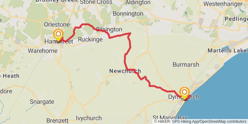
Starting at: Dymchurch, Folkestone and Hythe, Kent, TN29 0NH
Ending at: Dukes Head, Ashford, Kent, TN26 2DW
Distance: 18.0 km
Elevation gain: 126 m
Duration: 03:48:48
View on mapstage 2
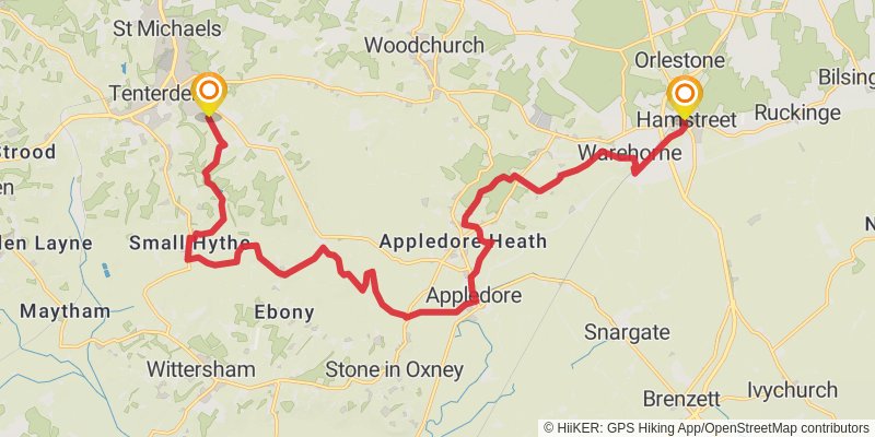
Starting at: Hamstreet, Kent, TN26 2HG
Ending at: Tenterden, Kent, TN30 7BJ
Distance: 22.3 km
Elevation gain: 245 m
Duration: 04:52:06
View on mapstage 3
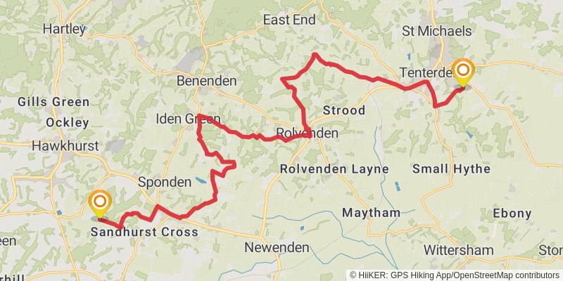
stage 4
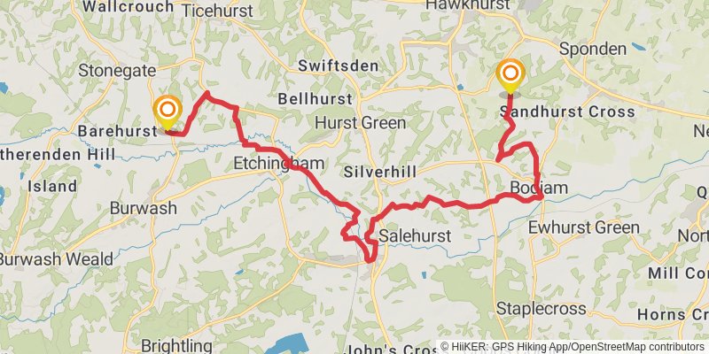
Starting at: Hawkhurst, Tunbridge Wells, Kent, TN18 4RW
Ending at: Rother, East Sussex, TN5 7DU
Distance: 21.7 km
Elevation gain: 359 m
Duration: 04:56:10
View on mapstage 5
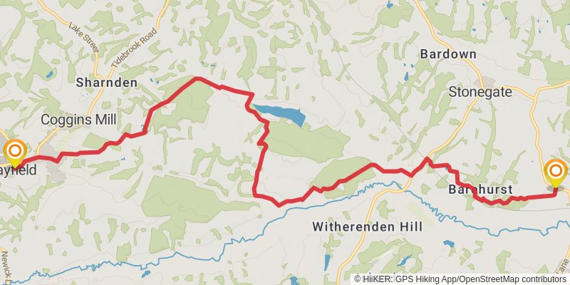
Starting at: Rother, East Sussex, TN5 7DU
Ending at: Wealden, East Sussex, TN20 6TT
Distance: 13.4 km
Elevation gain: 306 m
Duration: 03:10:58
View on mapstage 6
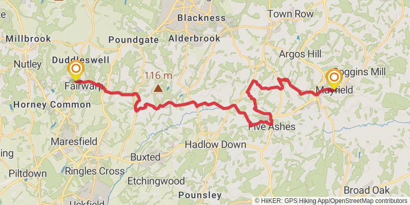
Starting at: Mayfield, Wealden, East Sussex, TN20 6BE
Ending at: Wealden, East Sussex, TN22 3BJ
Distance: 20.9 km
Elevation gain: 400 m
Duration: 04:50:39
View on mapstage 7
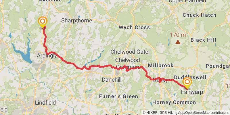
Starting at: Fairwarp, Wealden, East Sussex, TN22 3BJ
Ending at: Mid Sussex, West Sussex, RH17 6TN
Distance: 19.1 km
Elevation gain: 449 m
Duration: 04:34:26
View on mapstage 8
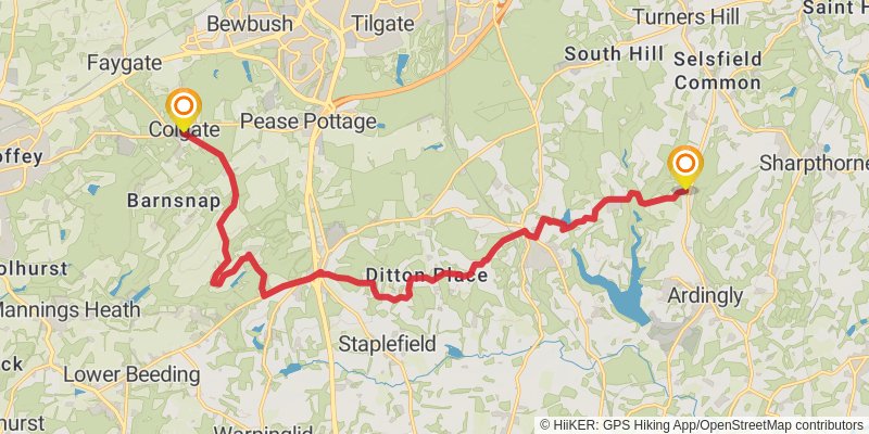
Starting at: Ardingly, Mid Sussex, West Sussex, RH17 6TN
Distance: 18.4 km
Elevation gain: 330 m
Duration: 04:13:47
View on mapstage 9
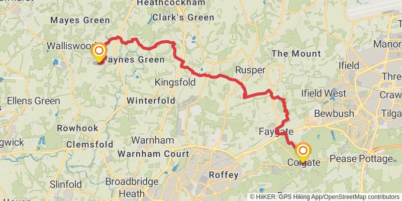
Starting at: Faygate, West Sussex, RH13 6HF
Ending at: Punchmead, Mole Valley, Surrey, RH5 5PU
Distance: 18.1 km
Elevation gain: 194 m
Duration: 03:56:53
View on mapstage 10
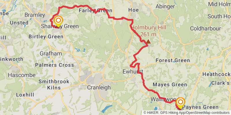
Starting at: Okewood Hill, Mole Valley, Surrey, RH5 5PU
Ending at: Waverley, Surrey, GU5 0UL
Distance: 23.6 km
Elevation gain: 393 m
Duration: 05:22:00
View on mapstage 11
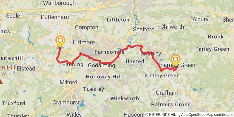
Starting at: Shamley Green, Waverley, Surrey, GU5 0UW
Ending at: Post Office, Guildford, Surrey, GU8 6AQ
Distance: 16.3 km
Elevation gain: 191 m
Duration: 03:34:19
View on mapstage 12
stage 13

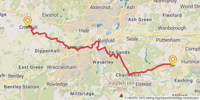
Starting at: Crondall, Hart, Hampshire, GU10 5QL
Ending at: Vicarage Lane, Hart, Hampshire, RG27 8LE
Distance: 20.5 km
Elevation gain: 183 m
Duration: 04:24:19
View on mapstage 14
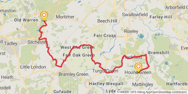
Starting at: Hound Green, Hart, Hampshire, RG27 8LE
Ending at: Basingstoke and Deane, Hampshire, RG7 2JA
Distance: 24.6 km
Elevation gain: 235 m
Duration: 05:18:44
View on mapstage 15
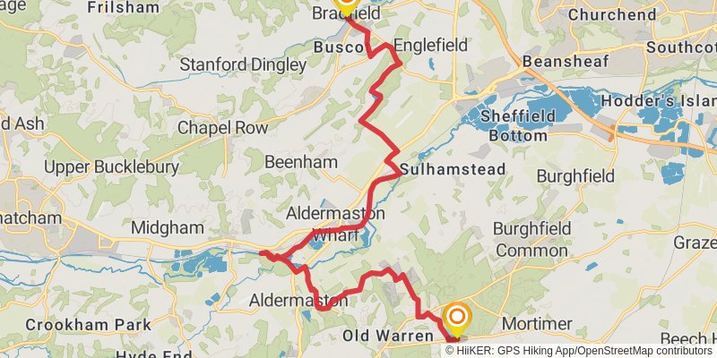
Ending at: Bradfield, West Berkshire, RG7 6EH
Distance: 20.6 km
Elevation gain: 193 m
Duration: 04:26:54
View on mapstage 16
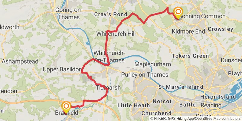
Starting at: Bradfield, West Berkshire, RG7 6BL
Ending at: South Oxfordshire, Oxfordshire, RG4 9BX
Distance: 21.6 km
Elevation gain: 312 m
Duration: 04:50:21
View on mapstage 17
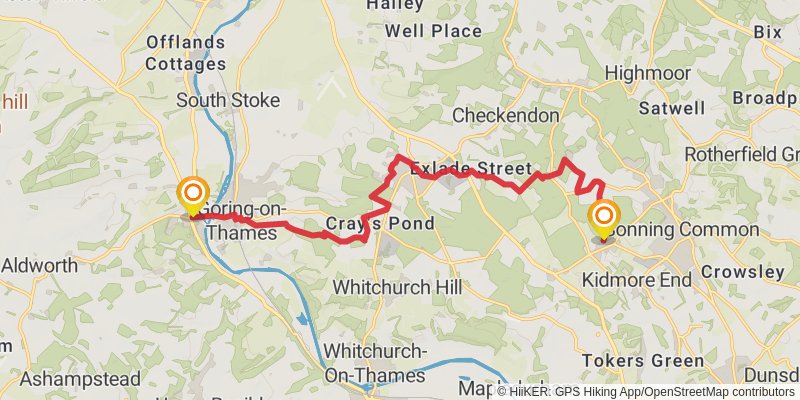
Ending at: Streatley, West Berkshire, RG8 9HY
Distance: 15.9 km
Elevation gain: 249 m
Duration: 03:35:19
View on mapstage 18
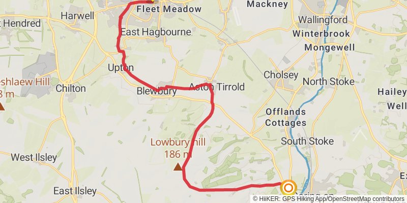
Starting at: Streatley, West Berkshire, RG8 9JH
Distance: 19.8 km
Elevation gain: 223 m
Duration: 04:19:44
View on map