Download
Preview
Add to list
More
17.8 km
~4 hrs 3 min
295 m
Loop
“Explore Hertfordshire's diverse landscapes and history on the 18 km Royston to Therfield Loop.”
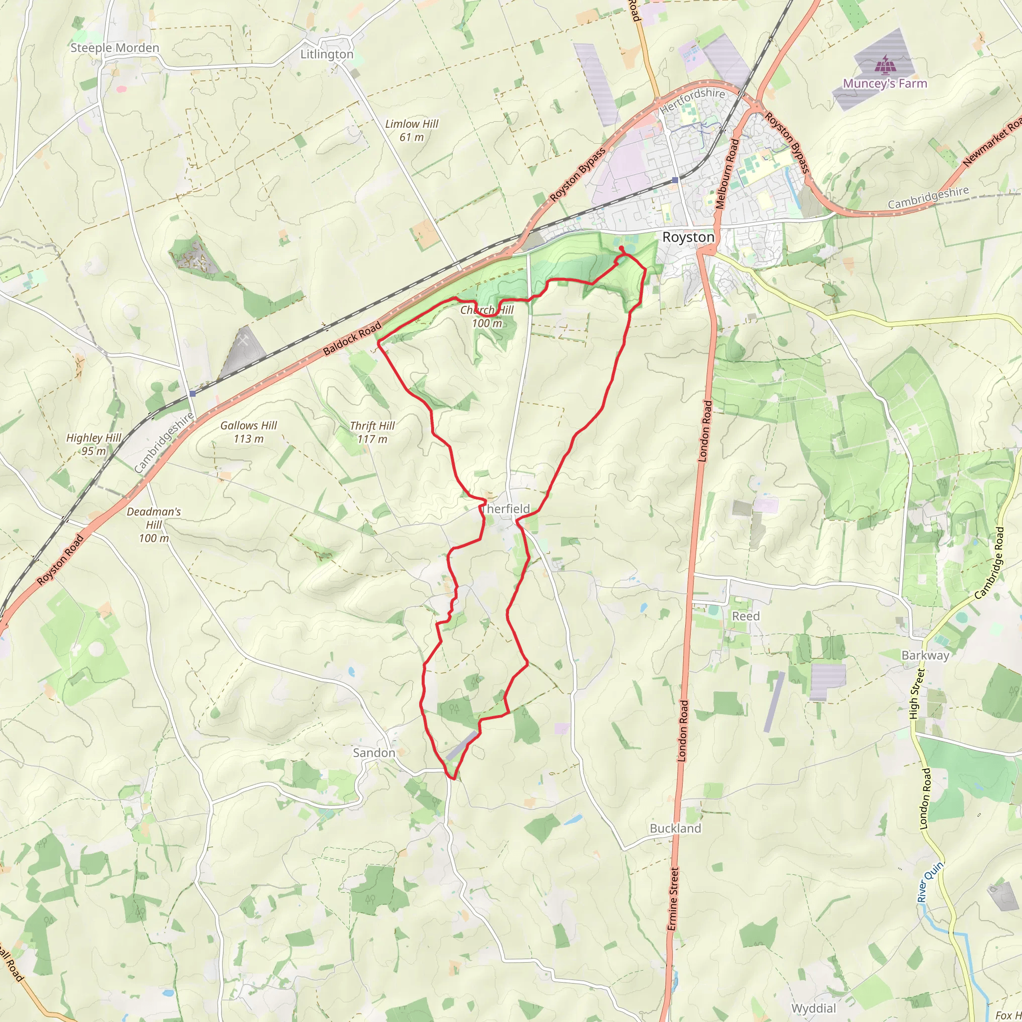
Starting near Hertfordshire, England, the Royston to Therfield Loop is an 18 km (approximately 11 miles) trail with an elevation gain of around 200 meters (656 feet). This loop trail is rated as medium difficulty, making it suitable for moderately experienced hikers.
Getting There
To reach the trailhead, you can drive or use public transport. If driving, you can park near Royston, a market town in Hertfordshire. For those using public transport, Royston railway station is well-connected, with regular services from London King's Cross. From the station, it's a short walk to the trailhead.
Trail Overview
The trail begins in Royston, a town with a rich history dating back to the Roman era. As you start your hike, you'll pass through the town's charming streets before heading into the countryside. The initial part of the trail is relatively flat, making for a gentle warm-up.
Key Landmarks and Sections
#### Royston Heath
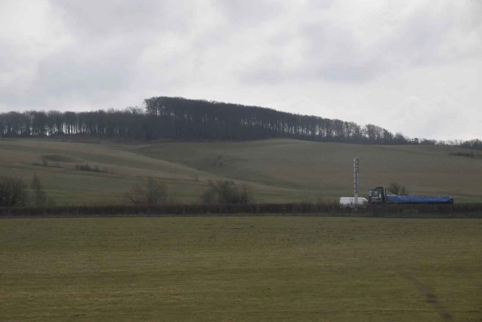
About 2 km (1.2 miles) into the hike, you'll reach Royston Heath, a large open space known for its chalk grassland. This area is a haven for wildlife, including various species of butterflies and birds. The heath also offers panoramic views of the surrounding countryside, making it a great spot for a short break.
#### Therfield Village
Continuing on, you'll hike another 5 km (3.1 miles) to reach the picturesque village of Therfield. This quaint village is home to several historical buildings, including the Church of St. Mary the Virgin, which dates back to the 13th century. The village also has a traditional English pub, perfect for a mid-hike refreshment.
#### Therfield Heath
After leaving Therfield, the trail takes you through Therfield Heath, another area of chalk grassland. This section involves a gradual ascent, contributing to the trail's total elevation gain. Therfield Heath is also a Site of Special Scientific Interest (SSSI), known for its rare plant species and archaeological significance, including Bronze Age barrows.
Wildlife and Nature
The trail is rich in biodiversity. Keep an eye out for red kites soaring above and deer grazing in the fields. The chalk grasslands are particularly noted for their wildflowers, including orchids and cowslips, which bloom in the spring and summer months.
Navigation
Given the trail's moderate difficulty and the variety of terrains, it's advisable to use a reliable navigation tool like HiiKER to stay on track. The app provides detailed maps and real-time updates, ensuring you won't miss any key landmarks or diverge from the path.
Final Stretch
The final 6 km (3.7 miles) of the loop bring you back towards Royston. This section is relatively straightforward, with gentle descents and flat paths. As you approach the town, you'll pass through agricultural fields and small woodlands, offering a peaceful end to your hike.
Practical Tips
- Footwear: Given the mixed terrain, sturdy hiking boots are recommended. - Weather: The trail can be muddy after rain, so check the weather forecast and dress accordingly. - Supplies: Carry enough water and snacks, especially if you plan to take breaks at the scenic spots along the way. - Wildlife: Respect the local wildlife and stick to the designated paths to minimize your impact on the environment.
This trail offers a blend of natural beauty, historical landmarks, and moderate physical challenge, making it a rewarding experience for those looking to explore the Hertfordshire countryside.
What to expect?
Activity types
Comments and Reviews
User comments, reviews and discussions about the Royston to Therfield Loop, England.
4.33
average rating out of 5
3 rating(s)

