Download
Preview
Add to list
More
24.6 km
~1 day 0 hrs
279 m
Loop
“Traverse the Lilley Loop for scenic beauty, history, and wildlife on an invigorating 25km English hike.”
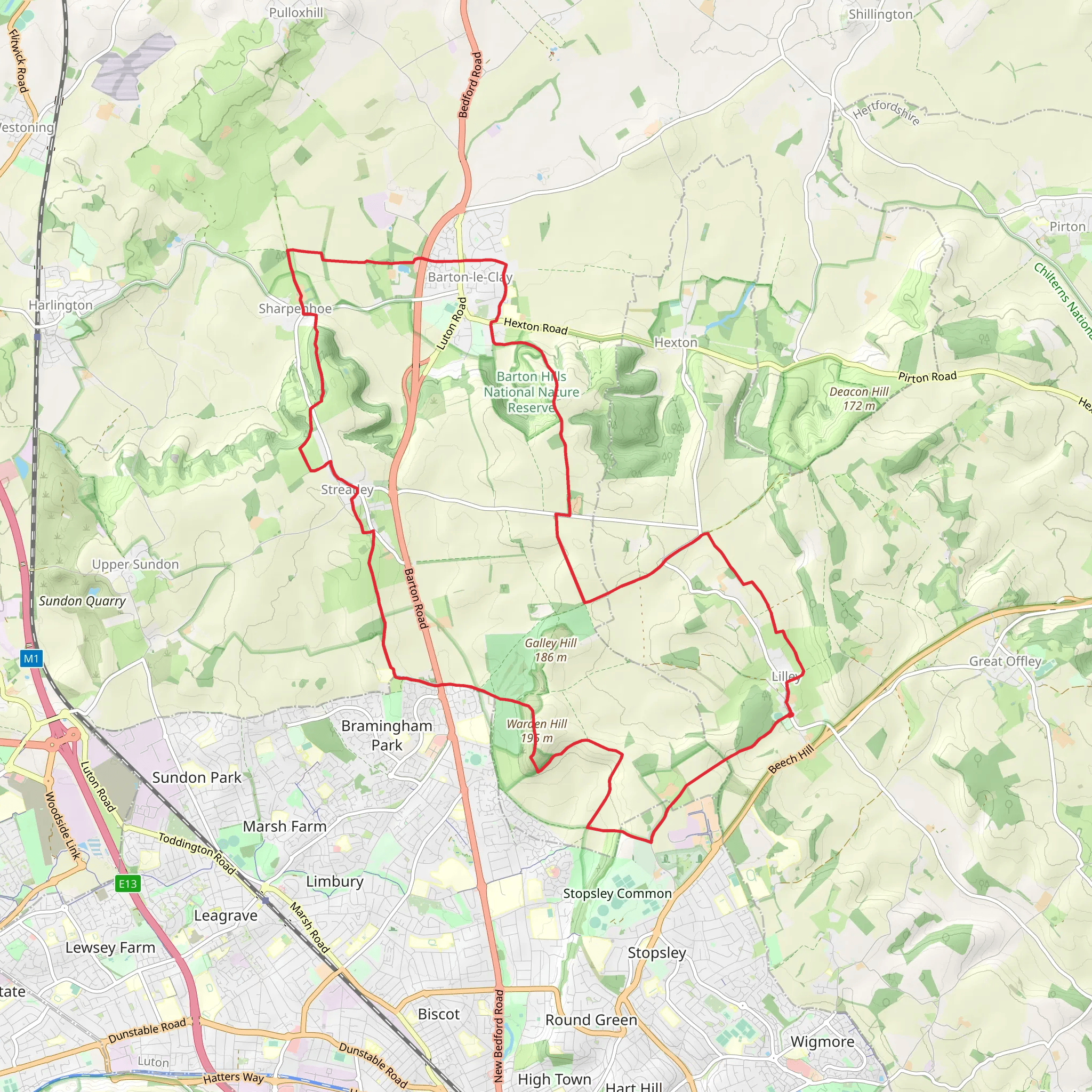
Embarking on the Lilley, Streatley and Barton le Clay Loop, hikers will traverse approximately 25 kilometers (about 15.5 miles) of varied terrain with an elevation gain of around 200 meters (approximately 656 feet). This loop trail, nestled near Hertfordshire, England, offers a medium difficulty rating and provides a rich tapestry of landscapes, from rolling hills to serene riverbanks.
Getting to the Trailhead
The trailhead is accessible by both public transport and car. For those opting for public transport, the nearest train stations are Luton and Leagrave, from which you can take a bus or taxi to reach the starting point. If driving, parking is available in the vicinity of the trailhead, which is located near the village of Lilley.
The Journey Begins
Setting out from the trailhead, hikers will meander through the quaint village of Lilley, where the trail is well-marked, leading out into the open countryside. The initial stretch is relatively flat, allowing hikers to warm up as they take in the surrounding farmland and pastoral views.
Historical Significance and Landmarks
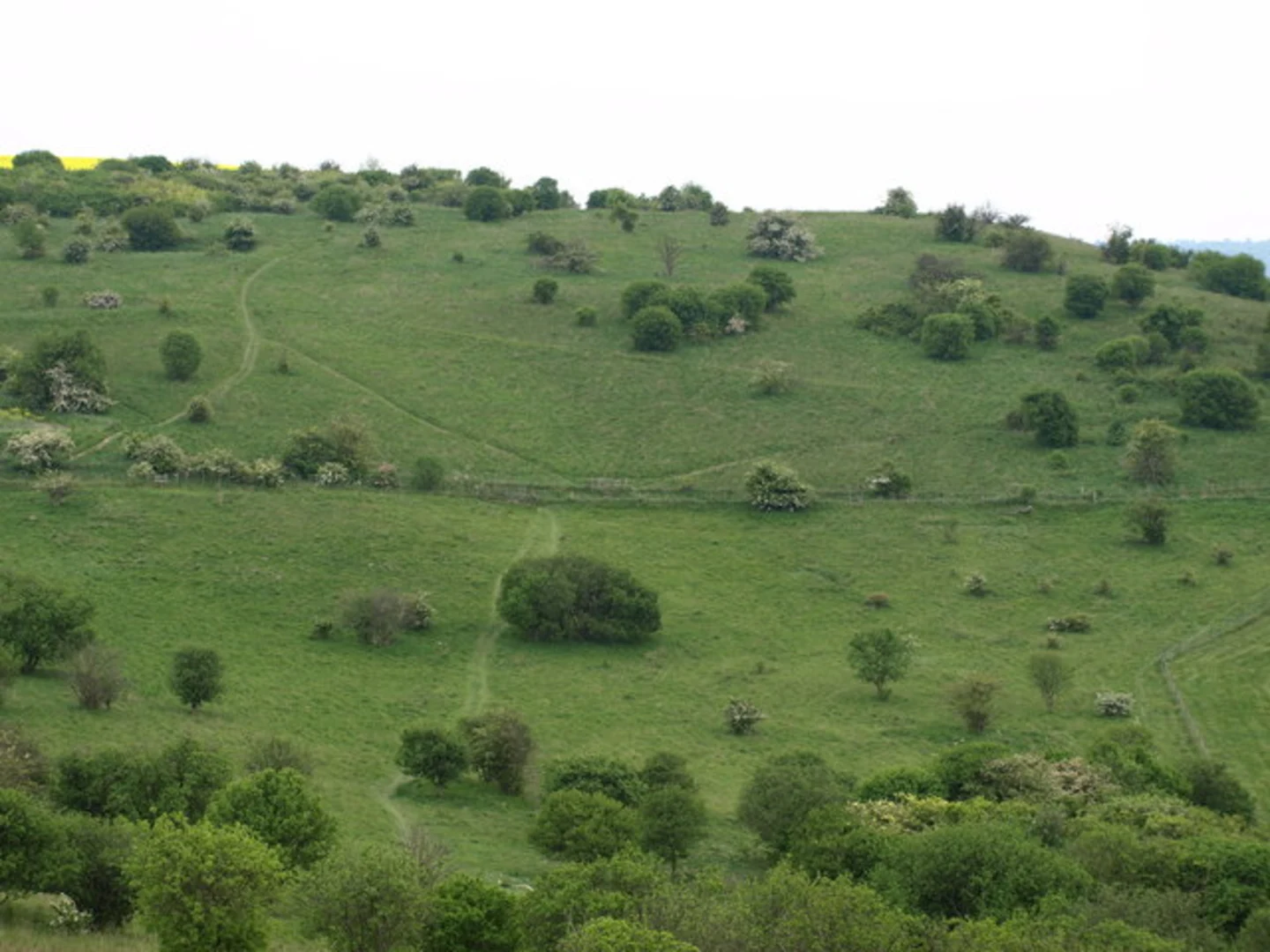
As the trail progresses, it skirts around the edges of the Barton Hills National Nature Reserve, an area of outstanding natural beauty with rich historical significance. The hills are a chalk escarpment, and the reserve is known for its rare chalk grassland habitat. This area has been shaped by centuries of sheep grazing and is dotted with historical landmarks, including ancient burial mounds and remnants of medieval settlements.
Flora and Fauna
The reserve is also a haven for wildlife enthusiasts. Keep an eye out for a variety of butterflies, including the chalkhill blue and the rare Duke of Burgundy. Birdwatchers may spot the skylark, buzzards, and even the occasional red kite soaring above. The flora is equally impressive, with wildflowers such as orchids and cowslips blooming in the spring and early summer.
Ascending to the Viewpoint
The most challenging part of the hike involves a steady climb up to the highest point of the loop. Here, hikers are rewarded with panoramic views of the surrounding countryside. On a clear day, you can see for miles, with the landscape stretching out in a patchwork of fields and woodlands.
Descending into Barton le Clay
After enjoying the vistas, the trail descends into the village of Barton le Clay. This section is gentler, with a mix of woodland paths and country lanes. The village itself offers a perfect spot for a rest or a meal at a local pub before continuing the loop.
The Return Leg
The final leg of the hike takes you along the River Lea, offering a tranquil setting as you make your way back towards Lilley. The river path is a stark contrast to the open hills and provides a peaceful conclusion to the hike.
Navigation
Throughout the hike, the trail is marked, but carrying a map or using a navigation tool like HiiKER is recommended to ensure you stay on the correct path and to track your progress.
Preparation
Before setting out, ensure you have adequate water, snacks, and appropriate clothing for the weather. The trail can be muddy in places, especially after rain, so sturdy waterproof boots are advisable. Remember to respect the natural environment and the historical sites by following the Leave No Trace principles.
This loop offers a delightful mix of natural beauty, wildlife, and a glimpse into the region's rich history, making it a rewarding experience for hikers of all interests.
What to expect?
Activity types
Comments and Reviews
User comments, reviews and discussions about the Lilley, Streatley and Barton le Clay Loop, England.
4.6
average rating out of 5
5 rating(s)

