Sabrina Way trail stages
stage 1
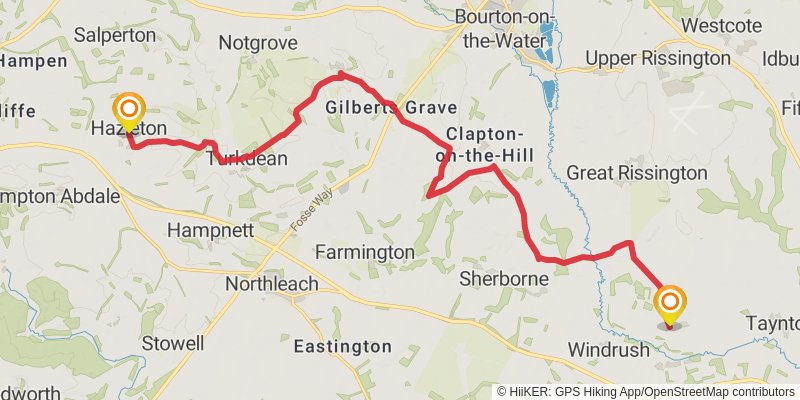
Ending at: Cotswold, Gloucestershire, GL54 4EB
Distance: 20.2 km
Elevation gain: 410 m
Duration: 04:43:48
View on mapstage 2

Starting at: Hazleton, Cotswold, Gloucestershire, GL54 4EB
Distance: 17.9 km
Elevation gain: 380 m
Duration: 04:12:37
View on mapstage 3
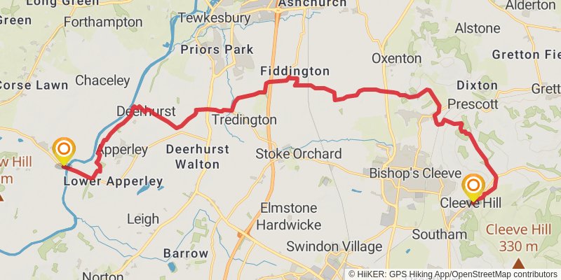
Starting at: Cleeve Hill, Gloucestershire, GL52 3PY
Distance: 22.4 km
Elevation gain: 197 m
Duration: 04:48:55
View on mapstage 4
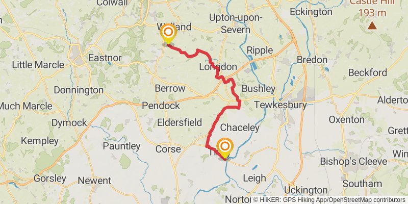
Starting at: Tirley, Gloucestershire, GL19 4HJ
Distance: 19.9 km
Elevation gain: 191 m
Duration: 04:17:44
View on mapstage 5
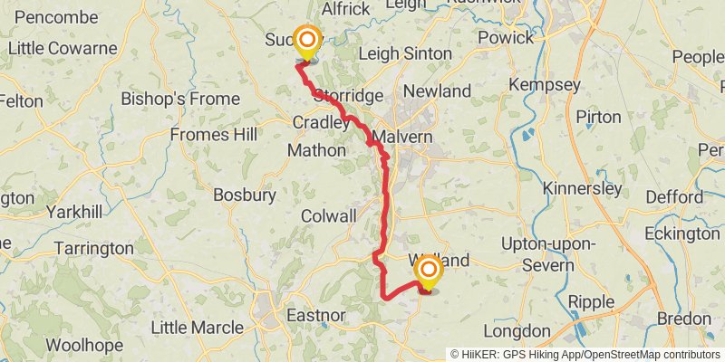
stage 6
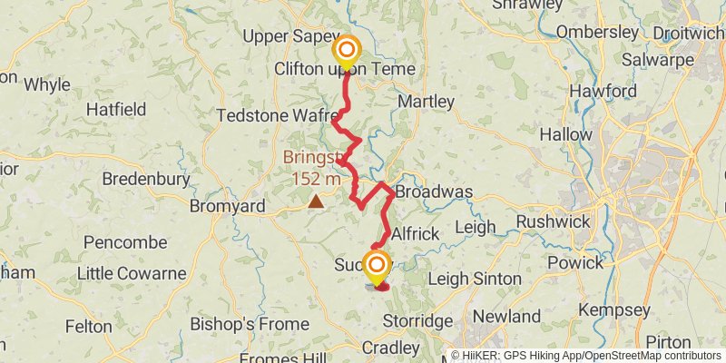
stage 7
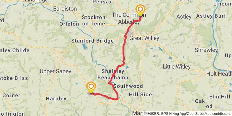
Ending at: Malvern Hills, Worcestershire, WR6 6BQ
Distance: 10.9 km
Elevation gain: 313 m
Duration: 02:41:42
View on mapstage 8
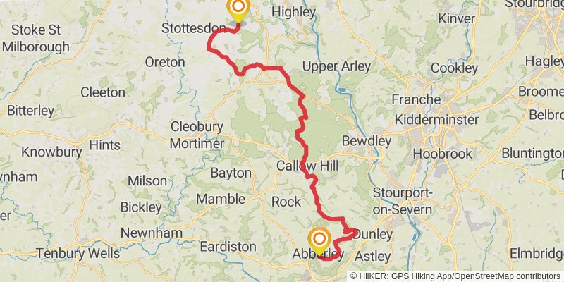
stage 9
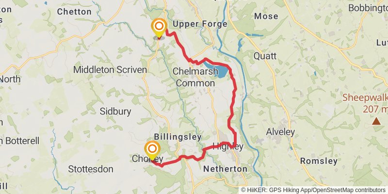
Starting at: Stottesdon, Shropshire, WV16 6GB
Ending at: Chetton, Shropshire, WV16 6AA
Distance: 14.4 km
Elevation gain: 236 m
Duration: 03:16:37
View on mapstage 10
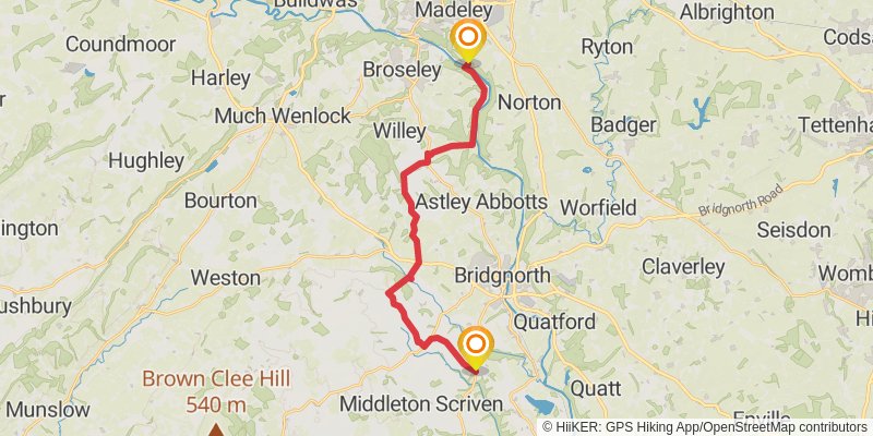
Starting at: Glazeley, Shropshire, WV16 6AA
Ending at: Coalport, Telford and Wrekin, TF8 7JD
Distance: 19.7 km
Elevation gain: 286 m
Duration: 04:24:45
View on mapstage 11
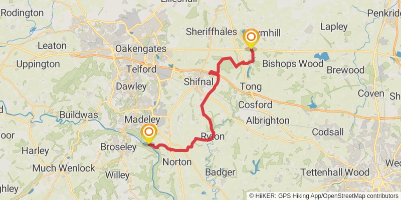
Starting at: Telford and Wrekin, TF8 7JD
Ending at: Tong, Shropshire, TF11 8JS
Distance: 21.9 km
Elevation gain: 261 m
Duration: 04:49:12
View on mapstage 12
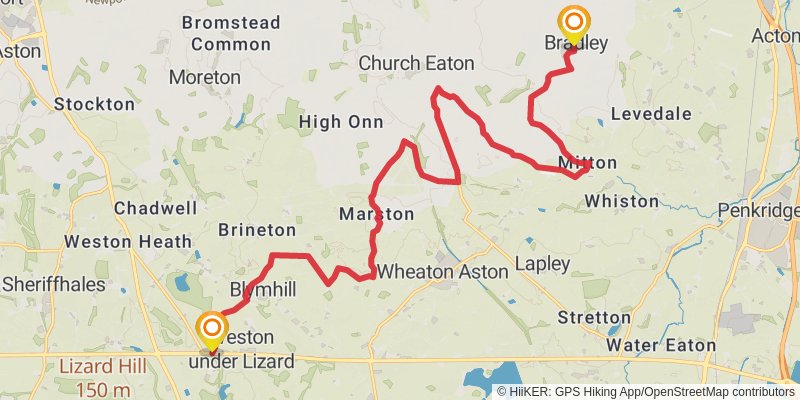
Ending at: Stafford, Staffordshire, ST18 9DR
Distance: 22.5 km
Elevation gain: 128 m
Duration: 04:42:10
View on mapstage 13
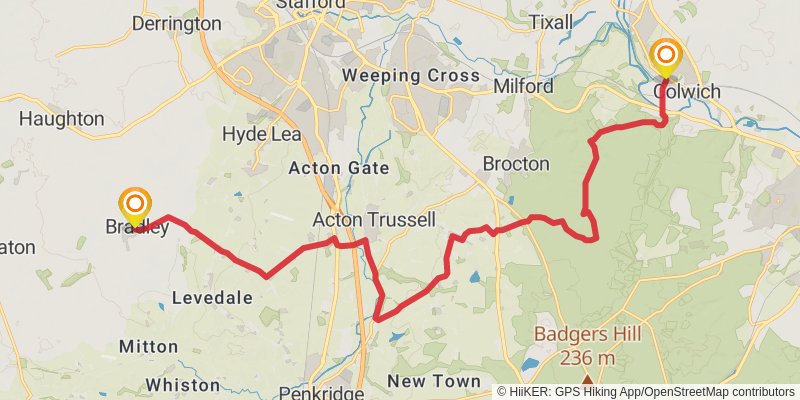
Starting at: Bradley, Staffordshire, ST18 9DR
Ending at: Stafford, Staffordshire, ST18 0TT
Distance: 20.7 km
Elevation gain: 238 m
Duration: 04:32:39
View on mapstage 14
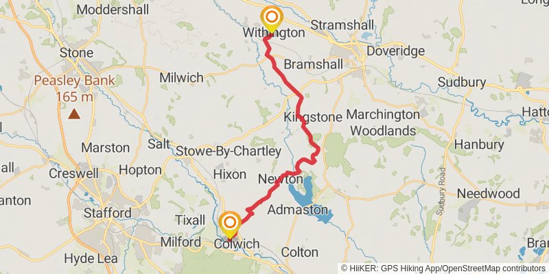
Starting at: Little Haywood, Staffordshire, ST18 0UL
Distance: 20.9 km
Elevation gain: 264 m
Duration: 04:37:36
View on mapstage 15
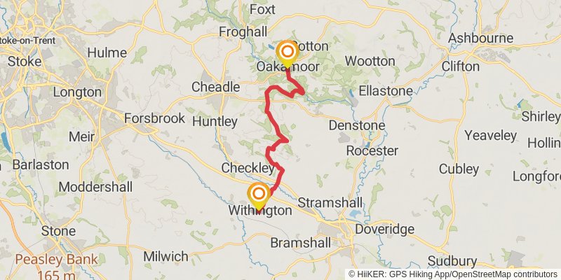
stage 16
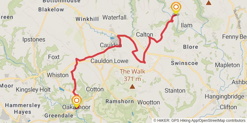
stage 17
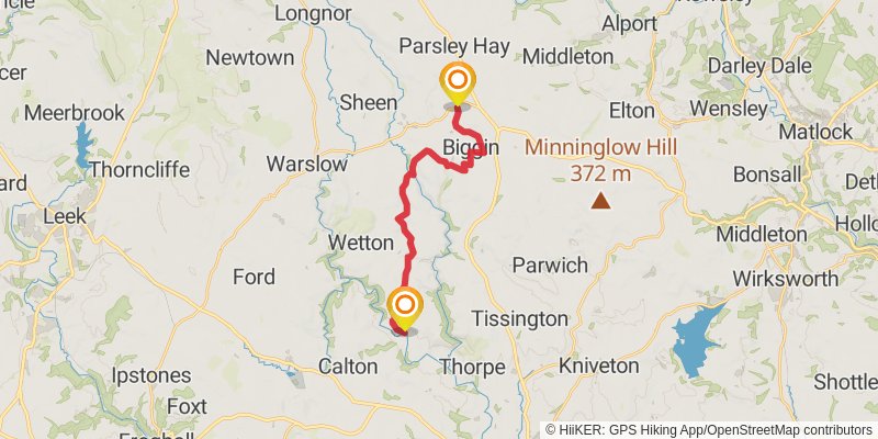
Ending at: Derbyshire Dales, Derbyshire, SK17 0AZ
Distance: 15.7 km
Elevation gain: 469 m
Duration: 03:55:33
View on map