Download
Preview
Add to list
More
4.6 km
~1 hrs 10 min
145 m
Point-to-Point
“Starting near Painswick, this 5 km hike blends lush landscapes, historical sites, and moderate challenges.”
Starting near the charming village of Painswick in Gloucestershire, England, this 5 km (approximately 3.1 miles) point-to-point trail offers a delightful mix of natural beauty and historical intrigue. With an elevation gain of around 100 meters (328 feet), the trail is rated as medium difficulty, making it suitable for moderately experienced hikers.
Getting There To reach the trailhead, you can either drive or use public transport. If you're driving, head towards Painswick and look for parking near the Painswick Golf Course. For those using public transport, the nearest major town is Stroud, which is well-connected by train. From Stroud, you can take a local bus to Painswick, with the bus stop conveniently located near the trailhead.
Trail Navigation For navigation, it's highly recommended to use HiiKER, which provides detailed maps and real-time updates to ensure you stay on track.
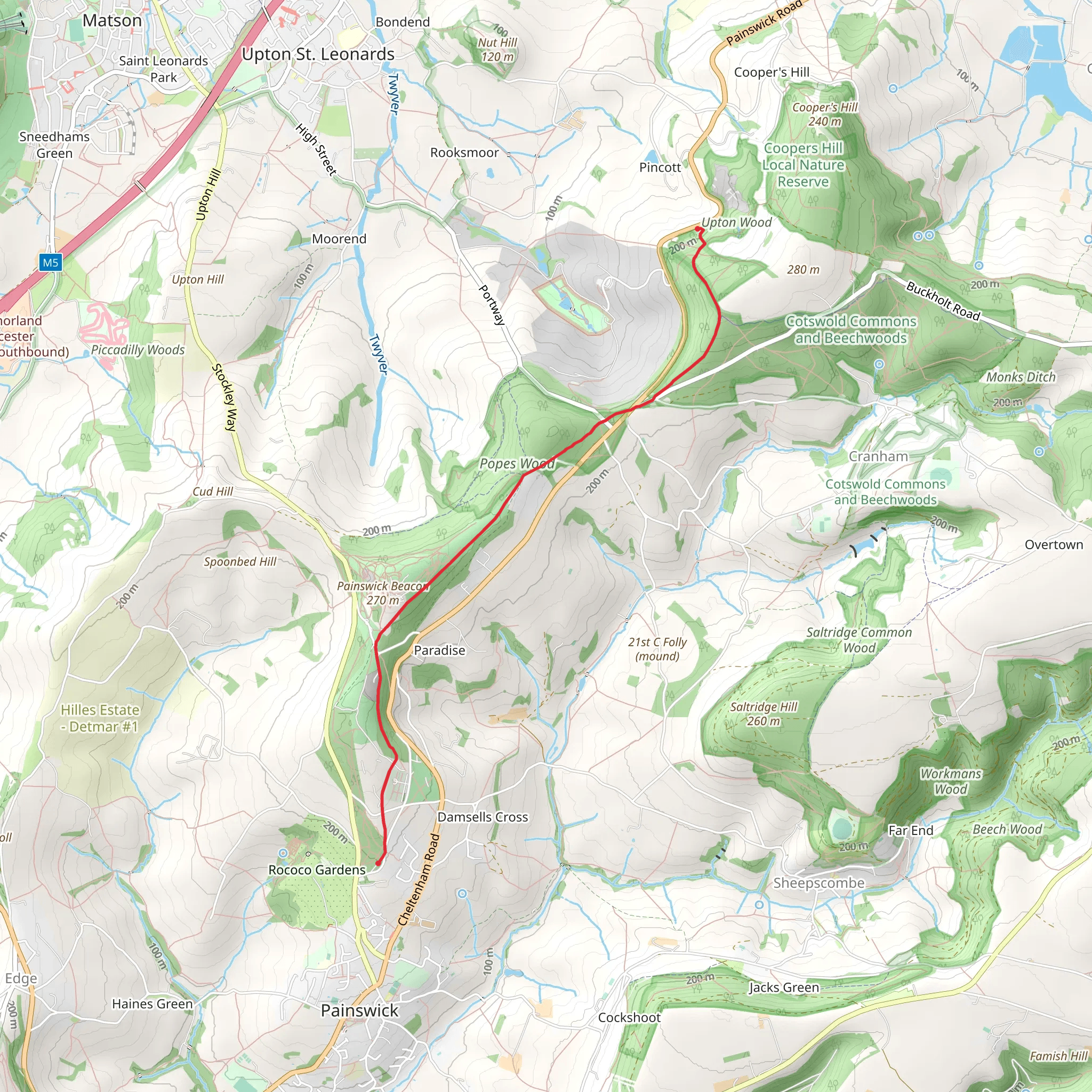
The Hike The trail begins near the Painswick Golf Course, a well-known landmark in the area. As you set off, you'll immediately notice the lush greenery and well-maintained fairways of the golf course. The first kilometer (0.6 miles) is relatively flat, allowing you to ease into the hike while enjoying the serene landscape.
Historical Significance Around the 2 km (1.2 miles) mark, you'll come across the Painswick Beacon, an ancient hill fort that dates back to the Iron Age. This site offers panoramic views of the surrounding countryside and is a perfect spot for a short break. The beacon was historically used as a signaling point, and its strategic location provides a glimpse into the area's rich past.
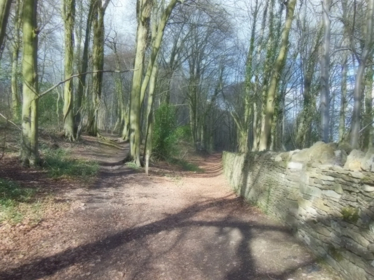
Flora and Fauna As you continue, the trail meanders through a mix of woodland and open fields. Keep an eye out for local wildlife, including deer, foxes, and a variety of bird species. The diverse flora includes ancient oak trees, wildflowers, and patches of bluebells in the spring.
Midway Point At approximately 3 km (1.9 miles), you'll reach a small stream, a perfect spot to refill your water bottle and enjoy a quick snack. The gentle sound of flowing water adds to the tranquility of the hike.
Final Stretch The last 2 km (1.2 miles) of the trail involve a gradual ascent, offering more elevated views of the Gloucestershire countryside. As you approach the end of the trail, you'll pass through more open fields, eventually leading you to the endpoint near the village of Sheepscombe.
Practical Tips - Wear sturdy hiking boots, as some sections can be muddy, especially after rain. - Bring a map or use HiiKER for navigation. - Pack enough water and snacks, especially if you plan to take breaks along the way. - Check the weather forecast before heading out, as conditions can change rapidly.
This trail offers a perfect blend of natural beauty, historical landmarks, and moderate physical challenge, making it a rewarding experience for any hiker.
What to expect?
Activity types
Comments and Reviews
User comments, reviews and discussions about the Painswick Golf Course Walk, England.
4.5
average rating out of 5
2 rating(s)

