Download
Preview
Add to list
More
4.9 km
~1 hrs 20 min
220 m
Loop
“Explore Coopers Hill's lush woodlands, historical landmarks, and panoramic views on this moderately challenging 5 km loop.”
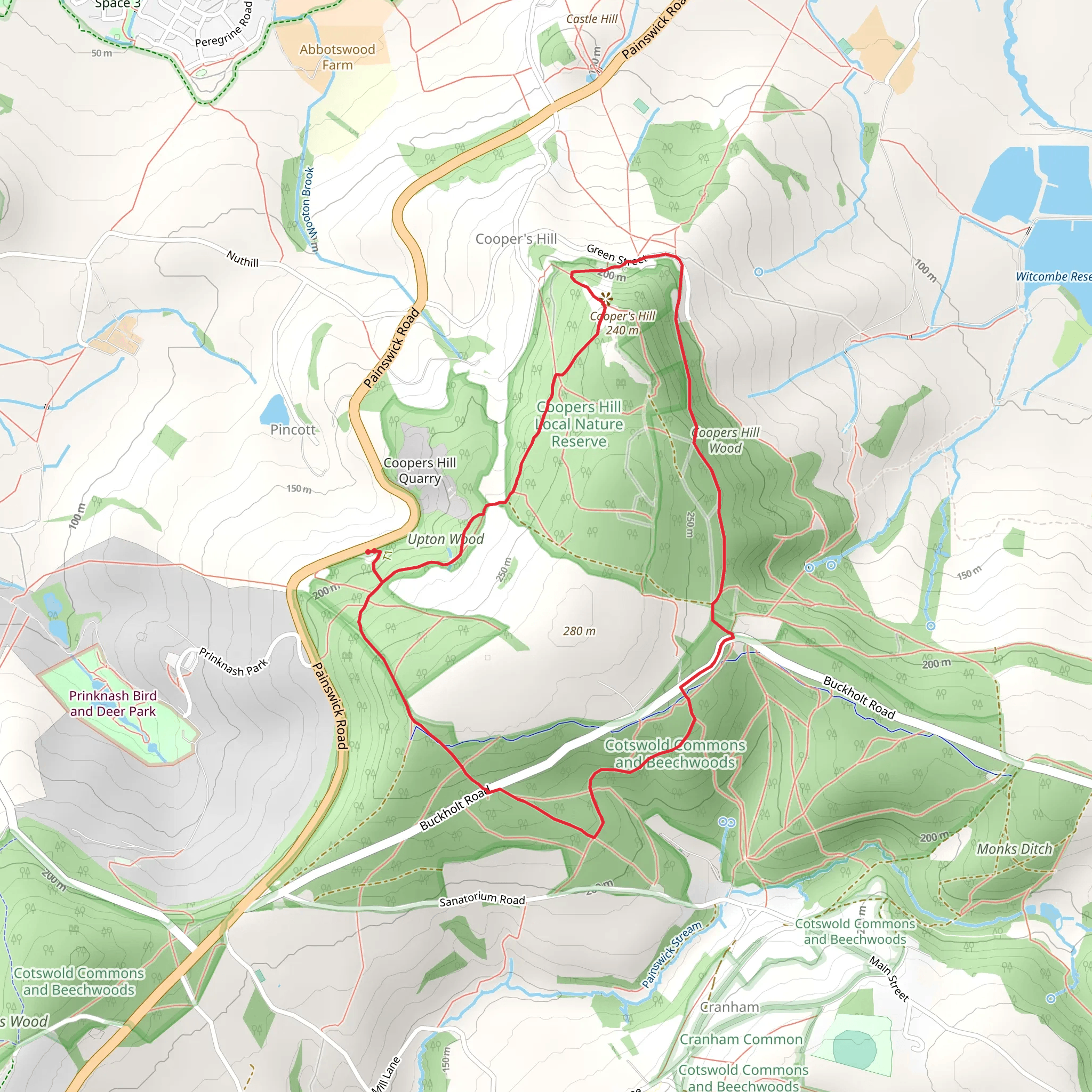
Starting near the picturesque town of Gloucestershire, England, the Coopers Hill Local Nature Reserve Loop offers a delightful 5 km (approximately 3.1 miles) hike with an elevation gain of around 200 meters (656 feet). This loop trail is rated as medium difficulty, making it suitable for moderately experienced hikers.
Getting There To reach the trailhead, you can drive or use public transport. If driving, set your GPS to Coopers Hill, Gloucestershire. For those using public transport, the nearest significant landmark is the Gloucester Railway Station. From there, you can take a local bus or taxi to Coopers Hill.
Trail Overview The trail begins near the base of Coopers Hill, a location famous for its annual cheese-rolling event. As you start your hike, you'll immediately notice the lush greenery and the well-maintained paths. The initial section is relatively flat, allowing you to ease into the hike.
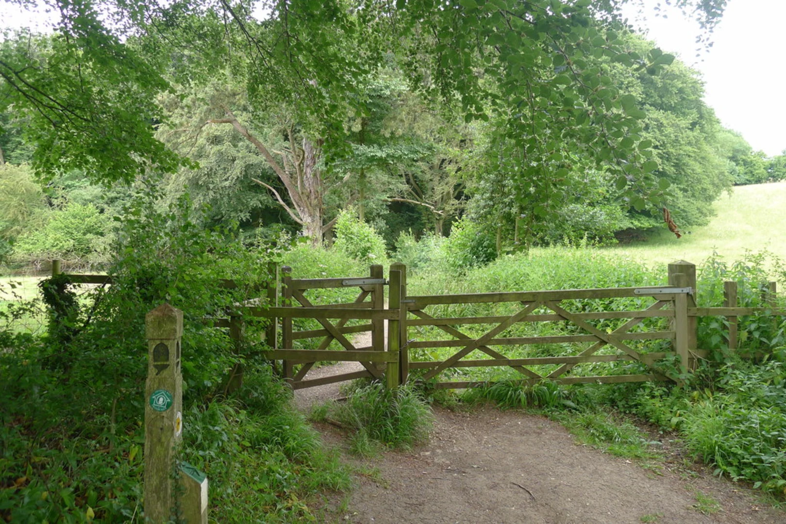
Flora and Fauna As you ascend, the trail winds through dense woodlands, home to a variety of native British flora and fauna. Keep an eye out for bluebells in the spring and a variety of bird species year-round. The forest canopy provides ample shade, making it a pleasant hike even on warmer days.
Historical Significance Coopers Hill is steeped in history. The hill itself has been a site of local gatherings for centuries, and the annual cheese-rolling event dates back to at least the early 1800s. As you hike, you'll pass by several historical markers that provide insights into the area's rich past.
Key Landmarks At approximately 2 km (1.2 miles) into the hike, you'll reach a clearing that offers panoramic views of the surrounding countryside. This is an excellent spot for a short break and some photography. The elevation gain to this point is about 100 meters (328 feet), giving you a good workout without being overly strenuous.
Continuing on, the trail loops back through more open terrain, where you'll encounter wildflower meadows and possibly some grazing livestock. This section is relatively flat, allowing you to catch your breath before the final ascent.
Final Ascent and Descent The last 1 km (0.6 miles) involves a steeper climb, adding another 100 meters (328 feet) of elevation gain. This part of the trail can be a bit challenging, so take your time and enjoy the views. Once you reach the summit, you'll be rewarded with a 360-degree view of the Gloucestershire countryside.
The descent is gradual and takes you back through the woodlands, eventually leading you to the starting point. The entire loop takes around 2-3 hours to complete, depending on your pace and how often you stop to take in the scenery.
Navigation For navigation, it's highly recommended to use the HiiKER app, which provides detailed maps and real-time updates to ensure you stay on track.
Wildlife Throughout the hike, you may encounter various wildlife, including deer, foxes, and a plethora of bird species. Always maintain a respectful distance and avoid disturbing their natural habitat.
Final Tips Wear sturdy hiking boots, bring plenty of water, and consider packing a light snack or picnic to enjoy at one of the scenic viewpoints. The trail can be muddy after rain, so be prepared for varying trail conditions.
This hike offers a perfect blend of natural beauty, historical intrigue, and moderate physical challenge, making it a must-visit for anyone in the Gloucestershire area.
What to expect?
Activity types
Comments and Reviews
User comments, reviews and discussions about the Coopers Hill Local Nature Reserve Loop, England.
average rating out of 5
0 rating(s)

