Download
Preview
Add to list
More
8.5 km
~1 hrs 48 min
59 m
Loop
“Embark on a scenic 9 km hike through picturesque Bourton-on-the-Water and Greystone Nature Reserve in the Cotswolds.”
Starting near the picturesque village of Bourton-on-the-Water in Gloucestershire, England, the Burton othe Water Loop via Greystone Nature Reserve offers a delightful 9 km (approximately 5.6 miles) journey through the heart of the Cotswolds. With no significant elevation gain, this loop trail is accessible to hikers of varying skill levels, though it is rated as medium difficulty due to its length and varied terrain.
Getting There
To reach the trailhead, you can drive to Bourton-on-the-Water, which is well-connected by road. If you're using public transport, the nearest train station is Moreton-in-Marsh, about 13 km (8 miles) away. From there, you can take a local bus or taxi to Bourton-on-the-Water. The trailhead is conveniently located near the village center, making it easy to find.
Trail Overview
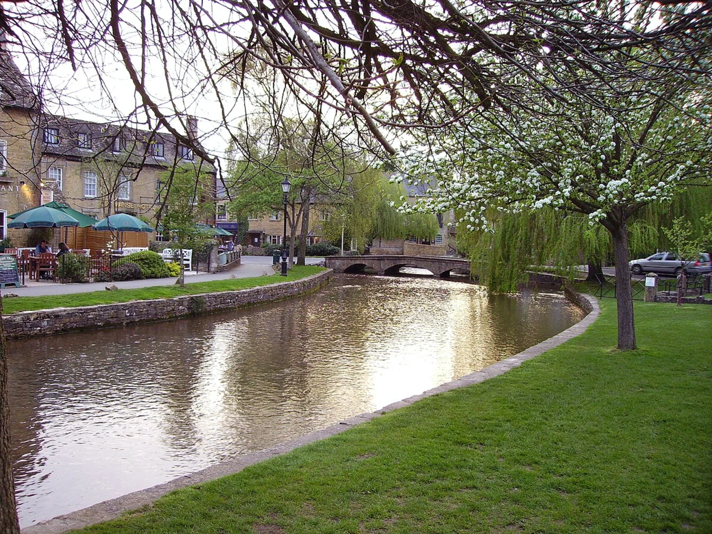
The trail begins in Bourton-on-the-Water, often referred to as the "Venice of the Cotswolds" due to its charming low bridges and the River Windrush that flows through the village. As you set off, you'll quickly leave the village behind and enter the serene countryside.
Key Landmarks and Sections
#### Greystone Nature Reserve
Around 3 km (1.9 miles) into the hike, you'll reach the Greystone Nature Reserve. This area is a haven for wildlife, including various bird species, small mammals, and an array of flora. Keep an eye out for the rare orchids that bloom in the spring and summer months. The reserve is also a great spot for a short break, offering benches and informational signs about the local ecosystem.
#### Historical Significance
As you continue, you'll pass through areas rich in history. The Cotswolds are known for their ancient limestone villages and historical landmarks. Look out for old stone walls and traditional Cotswold cottages that date back several centuries. These structures offer a glimpse into the region's past, where agriculture and wool production were once the mainstays of the local economy.
Navigation and Safety
The trail is well-marked, but it's always a good idea to have a reliable navigation tool. HiiKER is an excellent app for this purpose, providing detailed maps and real-time location tracking. The terrain is mostly flat, but can be uneven in places, so sturdy hiking boots are recommended.
Wildlife and Nature
Throughout the hike, you'll traverse a variety of landscapes, from open fields to wooded areas. The Cotswolds are home to a diverse range of wildlife. You might spot deer grazing in the fields or hear the call of a red kite soaring overhead. The trail also passes by several small streams and ponds, which are perfect for a quick rest and some nature photography.
Final Stretch
As you loop back towards Bourton-on-the-Water, the trail takes you through more open countryside, offering panoramic views of the rolling hills that characterize the Cotswolds. The final stretch brings you back into the village, where you can reward yourself with a visit to one of the local tea rooms or pubs.
This 9 km loop is a perfect way to experience the natural beauty and historical richness of the Cotswolds, making it a must-do for any hiking enthusiast visiting the area.
What to expect?
Activity types
Comments and Reviews
User comments, reviews and discussions about the Burton othe Water Loop via Greystone Nature Reserve, England.
4.6
average rating out of 5
5 rating(s)

