Download
Preview
Add to list
More
2.5 km
~32 min
22 m
Loop
“The Uckfield Road Loop offers a serene, flat 3 km hike through picturesque English countryside, suitable for most hikers.”
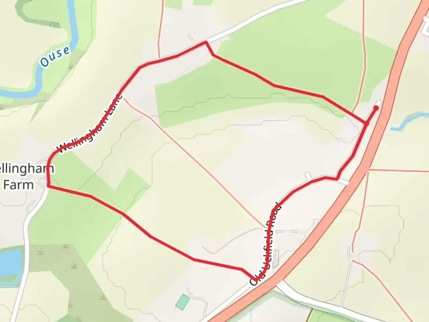
Starting near East Sussex, England, the Uckfield Road Loop is a delightful 3 km (approximately 1.86 miles) trail with no significant elevation gain, making it accessible for a wide range of hikers. The trailhead is conveniently located near the town of Uckfield, which is easily accessible by both public transport and car. If you're taking public transport, the Uckfield railway station is the nearest stop, and from there, it's a short walk to the trailhead. For those driving, there are parking facilities available near the start of the trail.
Trail Navigation and Terrain
The Uckfield Road Loop is a loop trail, meaning you'll start and finish at the same point. The terrain is relatively flat, with an elevation gain of 0 meters, making it a comfortable hike for those who prefer less strenuous walks. The trail is well-marked, but it's always a good idea to have a reliable navigation tool like HiiKER to ensure you stay on track.
Landmarks and Points of Interest
As you embark on the Uckfield Road Loop, you'll find yourself immersed in the picturesque English countryside. The trail meanders through a mix of open fields and wooded areas, offering a variety of landscapes to enjoy. Approximately 1 km (0.62 miles) into the hike, you'll come across a charming old stone bridge that spans a small brook. This is a great spot for a quick rest and some photos.
Flora and Fauna
The trail is rich in biodiversity. In the spring and summer months, the fields are often adorned with wildflowers, including bluebells and poppies. The wooded sections of the trail are home to a variety of bird species, so keep your eyes and ears open for the sounds of robins, woodpeckers, and even the occasional owl. Small mammals like rabbits and squirrels are also commonly spotted along the trail.
Historical Significance
The region around Uckfield has a rich history dating back to medieval times. The town itself was mentioned in the Domesday Book of 1086. As you hike, you'll pass by several historical landmarks, including old farmhouses and remnants of ancient stone walls that once marked property boundaries. These features offer a glimpse into the area's past and add an extra layer of interest to your hike.
Getting There
To reach the trailhead, if you're using public transport, take the train to Uckfield railway station. From the station, it's a short walk to the starting point of the trail. If you're driving, you can park near the trailhead, with parking facilities available close by. The nearest significant landmark to the trailhead is the Uckfield Community Hospital, which can serve as a useful reference point for navigation.
Final Tips
While the Uckfield Road Loop is a relatively easy hike, it's always wise to come prepared. Wear comfortable walking shoes, bring water, and consider packing a light snack. The trail can be muddy after rain, so waterproof footwear is recommended during wetter months. Always check the weather forecast before heading out and use HiiKER to stay updated on trail conditions.

What to expect?
Activity types
Comments and Reviews
User comments, reviews and discussions about the Uckfield Road Loop, England.
4.67
average rating out of 5
3 rating(s)