Download
Preview
Add to list
More
11.2 km
~2 hrs 50 min
361 m
Loop
“This 11 km loop trail near East Sussex blends natural beauty, historical landmarks, and diverse wildlife.”
Starting near East Sussex, England, the Mount Caburn, Oxteddle Bottom, and Malling Down Nature Reserve Loop is an 11 km (approximately 6.8 miles) loop trail with an elevation gain of around 300 meters (984 feet). This medium-difficulty trail offers a rich blend of natural beauty, historical landmarks, and diverse wildlife, making it a rewarding experience for hikers.
Getting There To reach the trailhead, you can take a train to Lewes Station, which is the nearest significant landmark. From Lewes Station, it's a short taxi ride or a bus journey to Glynde, where the trail begins. If you're driving, there is parking available near Glynde village.
Trail Overview The trail starts near Glynde and quickly ascends towards Mount Caburn, a prominent hill that offers panoramic views of the South Downs and the surrounding countryside. The initial climb is steep but manageable, gaining about 150 meters (492 feet) in elevation over the first 2 km (1.2 miles).
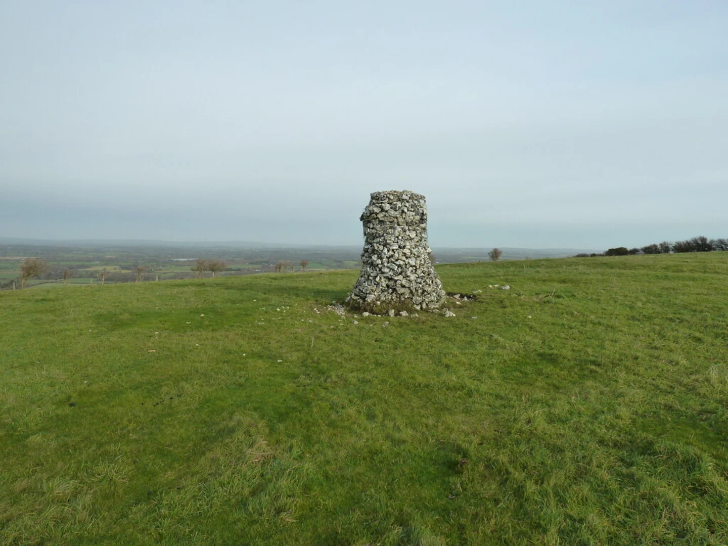
Mount Caburn Mount Caburn is not just a natural landmark but also a site of historical significance. It is home to an Iron Age hill fort, one of the best-preserved in the region. As you reach the summit, take a moment to explore the remnants of ancient earthworks and imagine the lives of those who once inhabited this strategic vantage point.
Oxteddle Bottom Descending from Mount Caburn, the trail leads you into Oxteddle Bottom, a serene valley that offers a stark contrast to the exposed hilltop. This section is relatively flat and provides a respite from the earlier climb. The valley is rich in chalk grassland, a habitat that supports a variety of wildflowers and butterflies, especially in the spring and summer months.
Malling Down Nature Reserve Continuing on, the trail takes you through the Malling Down Nature Reserve, a designated Site of Special Scientific Interest (SSSI). This area is renowned for its biodiversity, including rare orchids and a variety of bird species. The reserve also features several information boards that provide insights into the local flora and fauna, making it an educational stop.
Navigation and Safety The trail is well-marked, but it's always a good idea to have a reliable navigation tool like HiiKER to ensure you stay on track. The terrain can be uneven and slippery, especially after rain, so sturdy hiking boots are recommended. There are a few steep sections, particularly around Mount Caburn, so take care and pace yourself.
Final Stretch The final stretch of the loop brings you back towards Glynde, passing through picturesque farmland and offering more opportunities to spot local wildlife. The descent is gradual, allowing you to enjoy the views without too much strain.
Practical Tips - Bring plenty of water and snacks, as there are no facilities along the trail. - Check the weather forecast before you go; the trail can be exposed to the elements, especially on Mount Caburn. - If you're interested in the historical aspects, consider bringing a guidebook or using a mobile app to learn more about the Iron Age hill fort and other points of interest.
This trail offers a perfect blend of natural beauty, historical intrigue, and diverse wildlife, making it a must-visit for any hiking enthusiast.

What to expect?
Activity types
Comments and Reviews
User comments, reviews and discussions about the Mount Caburn, Oxteddle Bottom and Malling Down Nature Reserve Loop, England.
4.5
average rating out of 5
2 rating(s)