Download
Preview
Add to list
More
6.8 km
~1 hrs 40 min
189 m
Loop
“Embark on the Mount Caburn and Oxteddle Bottom Loop for scenic vistas, historical intrigue, and varied landscapes.”
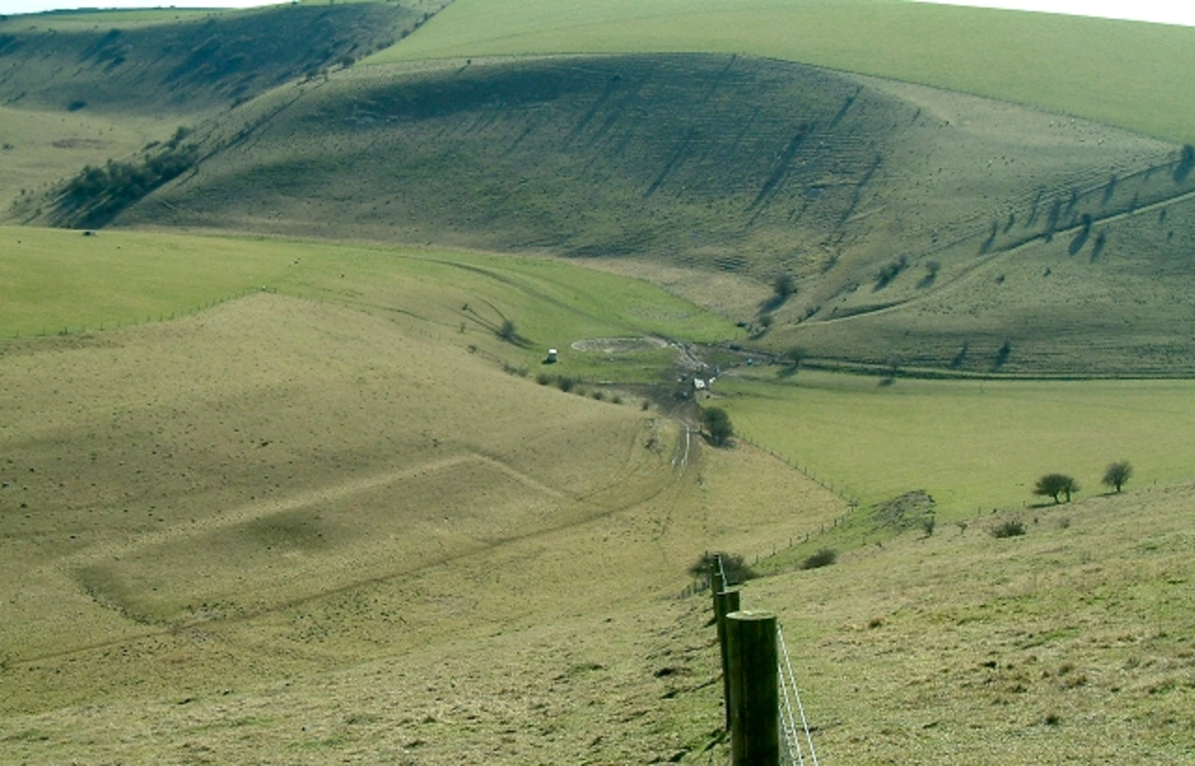
Starting near the charming village of Glynde in East Sussex, England, the Mount Caburn and Oxteddle Bottom Loop is a delightful 7 km (approximately 4.3 miles) trail that offers a mix of natural beauty, historical intrigue, and moderate physical challenge. The trailhead is conveniently accessible by both car and public transport. If you're driving, you can park near Glynde Railway Station, which is also the nearest significant landmark for those arriving by train. Glynde Station is well-connected, with regular services from London and Brighton.
Trail Overview
The loop begins with a gentle ascent, gaining around 100 meters (328 feet) in elevation. As you start your hike, you'll be greeted by the rolling hills and open fields characteristic of the South Downs National Park. The initial stretch is relatively easy, allowing you to warm up as you make your way towards Mount Caburn.
Mount Caburn
At approximately 2 km (1.2 miles) into the hike, you'll reach the summit of Mount Caburn. This ancient hill fort offers panoramic views of the surrounding countryside, including the River Ouse and the town of Lewes. The hill fort dates back to the Iron Age and is one of the most significant archaeological sites in the region. Take a moment to explore the remnants of the fort and imagine what life might have been like for its ancient inhabitants.
Flora and Fauna
As you descend from Mount Caburn, the trail takes you through a variety of landscapes, including chalk grasslands and wooded areas. Keep an eye out for the diverse flora and fauna that call this area home. In the spring and summer months, the grasslands are adorned with wildflowers, attracting butterflies and bees. Birdwatchers will also find plenty to enjoy, with species such as skylarks, kestrels, and buzzards frequently spotted.
Oxteddle Bottom
Around the 4 km (2.5 miles) mark, you'll enter Oxteddle Bottom, a secluded valley that offers a peaceful respite from the more exposed sections of the trail. This area is particularly lush, with a variety of plant species thriving in the sheltered environment. It's a great spot to take a break, enjoy a picnic, and soak in the tranquility.
Navigation and Safety
The trail is well-marked, but it's always a good idea to have a reliable navigation tool. HiiKER is an excellent app for this purpose, providing detailed maps and real-time tracking to ensure you stay on course. The terrain can be uneven in places, so sturdy hiking boots are recommended. Also, be prepared for changing weather conditions, as the South Downs can be quite windy and exposed.
Return to Glynde
The final stretch of the loop brings you back towards Glynde, passing through more open fields and offering one last chance to enjoy the expansive views. As you approach the village, you'll descend gently, making for a pleasant end to your hike. Glynde itself is worth a visit, with its historic buildings and the nearby Glynde Place, a stately home dating back to the 16th century.
Whether you're a seasoned hiker or a casual walker, the Mount Caburn and Oxteddle Bottom Loop offers a rewarding experience with its blend of natural beauty, historical significance, and moderate challenge.

What to expect?
Activity types
Comments and Reviews
User comments, reviews and discussions about the Mount Caburn and Oxteddle Bottom Loop, England.
4.25
average rating out of 5
4 rating(s)