Download
Preview
Add to list
More
21.5 km
~4 hrs 49 min
315 m
Point-to-Point
“Embark on a scenic 21km trek through East Sussex's historical and natural splendors, from Eridge to Tunbridge Wells.”
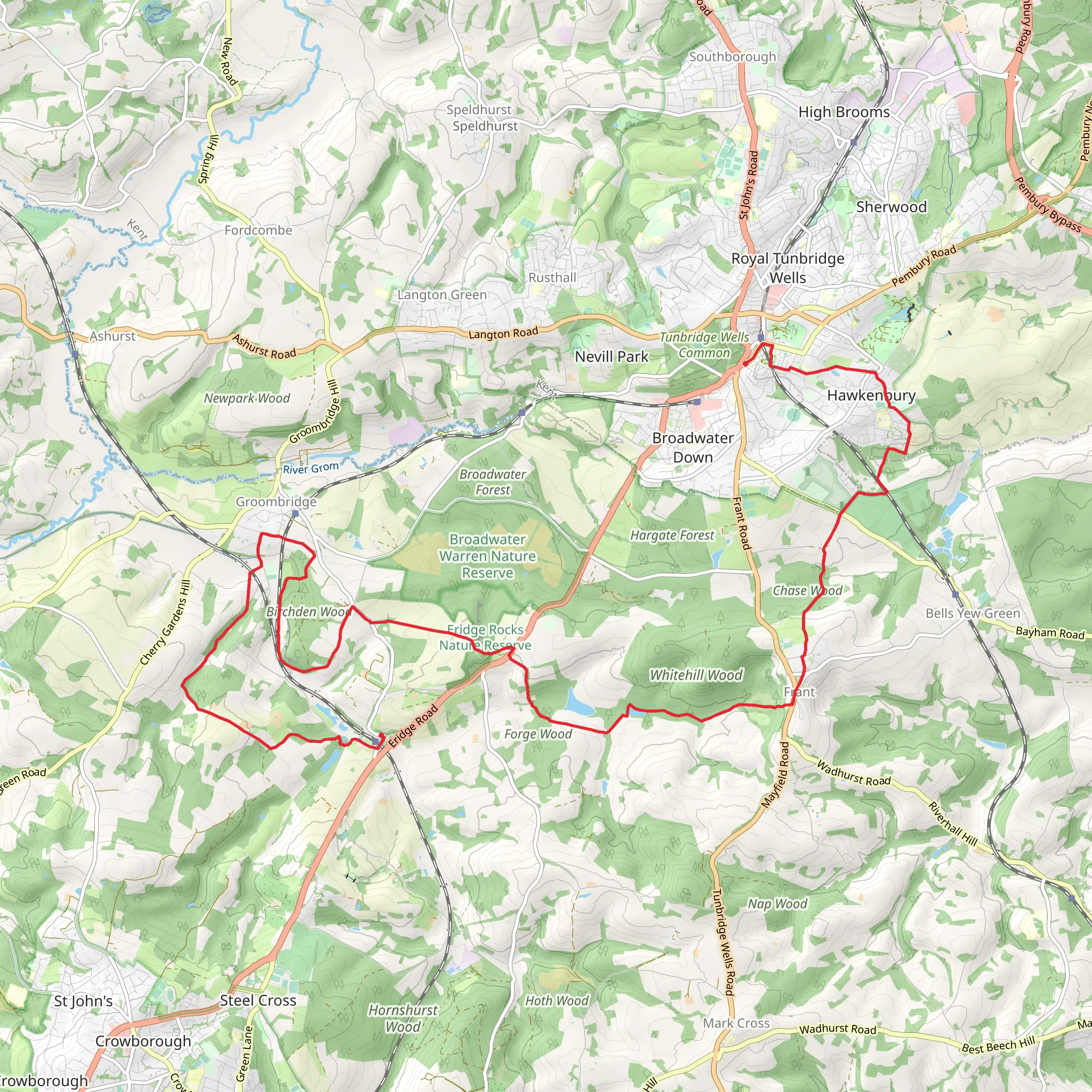
Embarking on the Eridge to Tunbridge Wells Walk, hikers will traverse approximately 21 kilometers (around 13 miles) through the picturesque countryside of East Sussex, England. With an elevation gain of about 300 meters (roughly 984 feet), this point-to-point trail offers a medium difficulty rating, suitable for hikers with some experience.
Getting to the Trailhead
The journey begins near the village of Eridge, which is accessible by public transport. The Eridge railway station, served by regular trains, is a convenient starting point for those relying on public transportation. For those driving, parking is available in the vicinity of the station. From here, the trailhead is just a short walk away, inviting adventurers to step into a landscape rich with natural beauty and historical significance.
Historical Significance and Landmarks
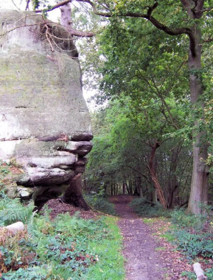
As hikers set out, they will soon find themselves enveloped by the serene ambiance of the English countryside, with its rolling hills and lush woodlands. The trail meanders through areas steeped in history, including the remnants of old estates and ancient woodlands that have witnessed centuries of change.
One of the significant historical landmarks along the route is Groombridge Place, a moated manor house dating back to the 17th century. This enchanting estate, located approximately 6 kilometers (about 3.7 miles) from the start, is a testament to the region's rich heritage. Its gardens and enchanted forest provide a magical backdrop for walkers to enjoy.
Nature and Wildlife
Nature enthusiasts will be delighted by the diverse flora and fauna encountered along the path. The trail cuts through a variety of habitats, from deciduous forests to open fields, where the changing seasons paint a dynamic tapestry of colors. Birdwatchers should keep an eye out for native species, while the quieter stretches of the walk may reveal glimpses of foxes or badgers.
Navigating the Trail
To navigate the trail with ease, hikers are advised to use the HiiKER app, which provides detailed maps and waypoints to ensure a smooth journey. The app will be particularly helpful in areas where the trail may become less distinct, guiding adventurers through the network of footpaths and bridleways that crisscross the region.
Preparing for the Hike
Before setting out, hikers should be prepared for the trail's undulating terrain, which includes some steep sections that contribute to the overall elevation gain. Sturdy hiking boots are recommended, as well as weather-appropriate clothing to handle the unpredictable English climate. It's also wise to carry sufficient water and snacks, as there are limited facilities along the more secluded parts of the route.
Conclusion of the Walk
As the trail approaches its end in the historic spa town of Tunbridge Wells, hikers can reflect on the journey through a landscape that has been cherished for generations. The town itself offers a charming conclusion to the walk, with its elegant architecture, inviting cafes, and the famous Pantiles, a Georgian colonnade that is a perfect spot to rest and rejuvenate after the day's adventure.
What to expect?
Activity types
Comments and Reviews
User comments, reviews and discussions about the Eridge to Tunbridge Wells Walk, England.
4.5
average rating out of 5
4 rating(s)

