Download
Preview
Add to list
More
8.7 km
~2 hrs 20 min
356 m
Loop
“The Cow Gap and Belle Tout Lighthouse Loop offers breathtaking coastal views and rich historical landmarks.”
Starting near Eastbourne in East Sussex, England, the Cow Gap and Belle Tout Lighthouse Loop is a picturesque 9 km (5.6 miles) trail with an elevation gain of approximately 300 meters (984 feet). This loop trail offers a moderate challenge, making it suitable for hikers with some experience.
Getting There
To reach the trailhead, you can drive to Eastbourne and park near the South Downs National Park. If you prefer public transport, Eastbourne is well-connected by train from London and other major cities. From Eastbourne station, you can take a local bus or taxi to the trailhead near the South Downs Way.
Trail Overview
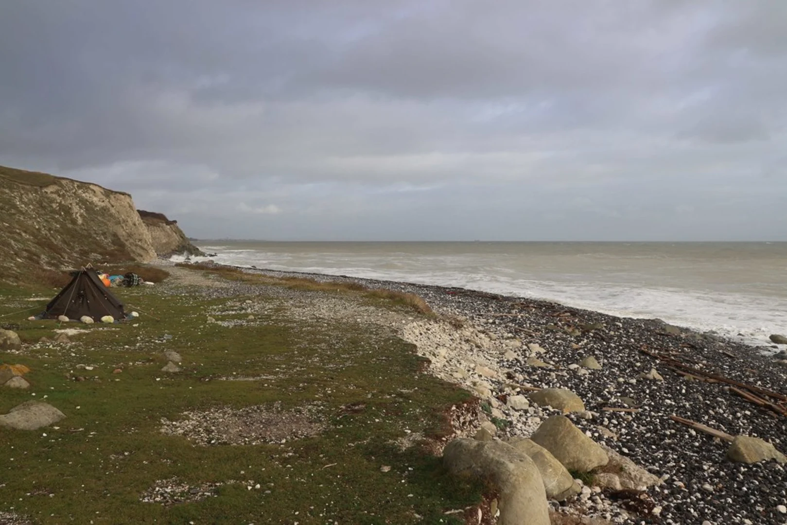
The trail begins with a gentle ascent from the South Downs Way, leading you towards Cow Gap. This initial section offers stunning views of the English Channel and the chalk cliffs that characterize the region. As you hike, you'll notice the diverse flora, including wildflowers and coastal plants, which are particularly vibrant in the spring and summer months.
Cow Gap
At approximately 2 km (1.2 miles) into the hike, you'll reach Cow Gap. This area is known for its dramatic cliffs and rock formations. Be cautious here, as the cliffs can be slippery, especially after rain. The views from Cow Gap are breathtaking, offering a panoramic vista of the coastline.
Belle Tout Lighthouse
Continuing along the trail, you'll head towards the Belle Tout Lighthouse, which is around 4 km (2.5 miles) from the start. This historic lighthouse, originally built in 1832, has been decommissioned but remains a significant landmark. It was famously moved inland in 1999 to prevent it from falling into the sea due to coastal erosion. The lighthouse now serves as a unique bed and breakfast, and its location offers excellent photo opportunities.
Wildlife and Nature
As you hike, keep an eye out for local wildlife. The area is home to various bird species, including peregrine falcons and kittiwakes. You might also spot rabbits and foxes along the trail. The chalk grassland habitat supports a range of butterflies, making it a delightful experience for nature enthusiasts.
Navigation and Safety
The trail is well-marked, but it's always a good idea to have a reliable navigation tool. HiiKER is an excellent app for this purpose, providing detailed maps and real-time updates. Ensure you have appropriate footwear, as parts of the trail can be uneven and rocky. Carry sufficient water and snacks, especially on warmer days.
Return Loop
After visiting the Belle Tout Lighthouse, the trail loops back towards Eastbourne. This section of the hike offers a mix of coastal and inland views, with gentle descents and ascents. You'll pass through open fields and small wooded areas, providing a varied hiking experience.
Historical Significance
The South Downs region has a rich history, with evidence of human activity dating back to the Neolithic period. The chalk cliffs have been a significant navigational landmark for sailors for centuries. The Belle Tout Lighthouse itself has a storied past, having been used as a filming location for various movies and TV shows.
Final Stretch
As you approach the end of the loop, you'll descend back towards the South Downs Way, completing your hike near the starting point. The final stretch offers a chance to reflect on the diverse landscapes and historical landmarks you've encountered along the way.

What to expect?
Activity types
Comments and Reviews
User comments, reviews and discussions about the Cow Gap and Belle Tout Lighthouse Loop, England.
4.25
average rating out of 5
4 rating(s)