Download
Preview
Add to list
More
15.5 km
~3 hrs 38 min
330 m
Loop
“Embark on a 15 km loop through South Downs' scenic landscapes, historical sites, and diverse wildlife near Alciston.”
Starting near the picturesque village of Alciston in East Sussex, England, this loop trail spans approximately 15 km (9.3 miles) with an elevation gain of around 300 meters (984 feet). The trailhead is conveniently accessible by car or public transport. If driving, you can park near Alciston village, which is well-signposted. For those using public transport, the nearest train station is Berwick, from which you can take a short taxi ride or a local bus to Alciston.
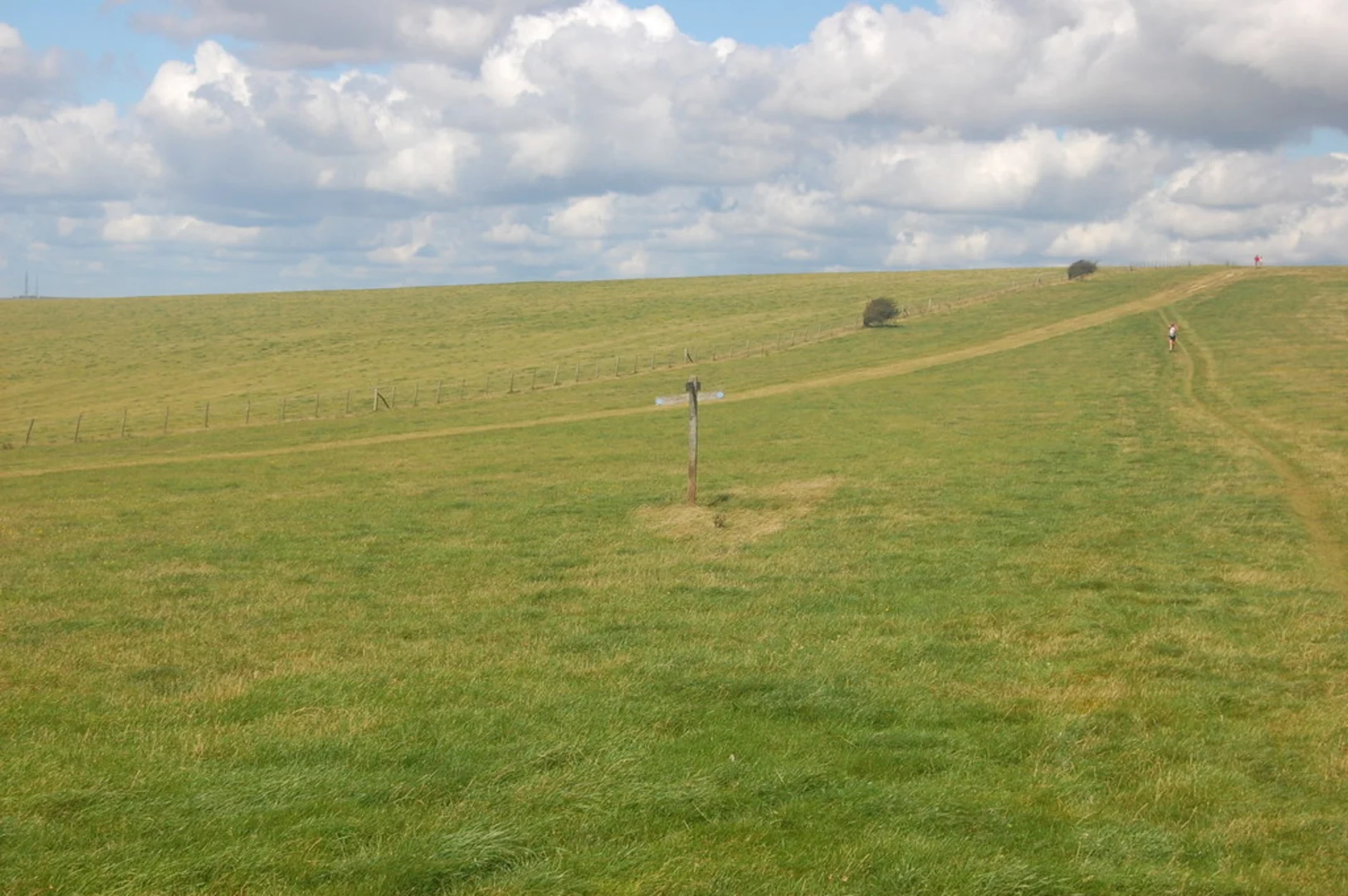
Initial Ascent and Firle Beacon The trail begins with a gentle ascent through the rolling South Downs, leading you towards Firle Beacon. This initial stretch is about 3 km (1.9 miles) and gains roughly 150 meters (492 feet) in elevation. Firle Beacon, standing at 217 meters (712 feet), offers panoramic views of the surrounding countryside and the English Channel on clear days. This is a great spot to take a breather and soak in the scenery.
Historical Significance As you continue, you'll pass through areas rich in history. The South Downs have been inhabited since prehistoric times, and you may come across ancient burial mounds and remnants of old settlements. The village of Firle itself has historical significance, with its roots tracing back to the Domesday Book of 1086. Keep an eye out for Firle Place, a grand manor house dating back to the 15th century, which is visible from certain points on the trail.
Wildlife and Flora The trail meanders through diverse habitats, including chalk grasslands, woodlands, and open fields. This variety supports a wide range of wildlife. Look out for skylarks, kestrels, and the occasional red kite soaring above. The chalk grasslands are particularly rich in wildflowers during the spring and summer months, with species like cowslips, orchids, and the rare round-headed rampion, also known as the "Pride of Sussex."
Navigation and Waypoints Navigating this trail is straightforward, but it's always wise to have a reliable navigation tool. HiiKER is an excellent app for this purpose, providing detailed maps and real-time tracking. Key waypoints include Firle Beacon, the village of Firle, and the charming town of Alfriston, which is about halfway through the loop.
Alfriston and the Return Leg Alfriston is a delightful stop, offering several amenities including pubs, cafes, and shops. The village is steeped in history, with landmarks such as the 14th-century St. Andrew's Church and the Clergy House, the first property acquired by the National Trust. After exploring Alfriston, the trail leads you back towards Alciston, covering the remaining 7 km (4.3 miles) with a mix of gentle ascents and descents.
Final Stretch The final leg of the hike takes you through more open fields and pastures, gradually descending back to Alciston. This section is relatively easy, allowing you to enjoy the serene landscape and perhaps spot some grazing sheep or cattle. The loop concludes back at the starting point in Alciston, where you can relax and reflect on the diverse experiences of the hike.
This trail offers a balanced mix of natural beauty, historical intrigue, and moderate physical challenge, making it a rewarding experience for hikers of all levels.

What to expect?
Activity types
Comments and Reviews
User comments, reviews and discussions about the Alciston and Alfriston Loop via Firle Beacon, England.
4.75
average rating out of 5
4 rating(s)