Download
Preview
Add to list
More
344.1 km
~17 days
1163 m
Multi-Day
“Traverse Northern England's diverse landscapes on the accessible Trans Pennine Trail, rich in natural beauty and steeped in history.”
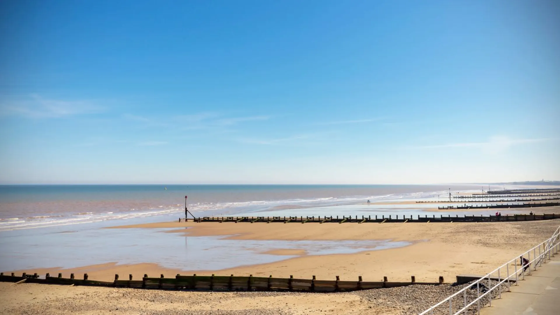
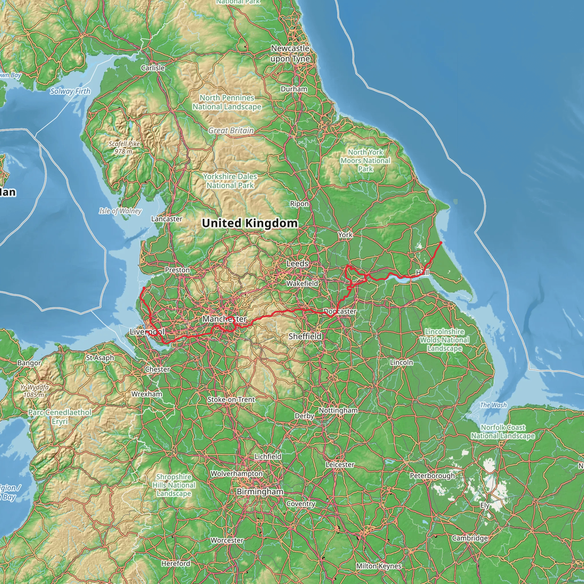
Spanning approximately 344 kilometers (214 miles) and with an elevation gain of around 1100 meters (3609 feet), the Trans Pennine Trail is a coast-to-coast route across Northern England, from the Irish Sea to the North Sea. This point-to-point trail begins near the East Riding of Yorkshire and offers a medium difficulty rating, making it accessible to many hikers with a reasonable level of fitness.
Getting to the Trailhead
The starting point of the trail can be reached by public transport or car. For those opting for public transport, there are train services to Hull, which is the nearest city to the trailhead. From Hull, local buses can take you closer to the starting point. If driving, you can navigate to Hull and follow signs for the Trans Pennine Trail which will lead you to the trailhead.
Trail Experience
As you embark on the trail, you'll traverse a variety of landscapes including urban areas, peaceful riverbanks, and rolling countryside. The trail is well-signposted, but carrying a navigation tool like HiiKER can be invaluable for staying on track and identifying nearby amenities.
Landmarks and Nature
One of the early highlights is the Humber Bridge near Hull, once the world's longest single-span suspension bridge. As you move inland, the trail takes you through the industrial heartlands of South Yorkshire and the historic city of Sheffield. The trail also passes through the Peak District National Park, offering breathtaking views and challenging climbs.
Wildlife is abundant along the route, with opportunities to spot birds of prey, deer, and other native species. The trail also intersects with several nature reserves, providing a chance to see diverse ecosystems and conservation efforts in action.
Historical Significance
The region is steeped in history, from Roman roads to remnants of the Industrial Revolution. The trail itself repurposes old railway lines, canal paths, and has links to historical sites such as Wentworth Woodhouse and the Elsecar Heritage Centre.
Preparation and Planning
Given the length of the trail, it's important to plan overnight stops. There are numerous towns and villages along the route where you can find accommodation. The trail is suitable for walking, cycling, and horse riding in certain sections, so ensure you have the appropriate gear for your chosen activity.
Weather in Northern England can be unpredictable, so pack for all conditions and check forecasts regularly. Water sources are plentiful, but carrying a supply is recommended, especially in more remote sections.
Navigation and Safety
While the trail is marked, having a reliable navigation tool like HiiKER can help you stay on course and manage your time effectively. It's also wise to inform someone of your plans and expected return, especially if you're hiking alone.
Remember, the Trans Pennine Trail is a shared-use path, so be mindful of cyclists and horse riders, and practice good trail etiquette to ensure a pleasant experience for all users.
What to expect?
Activity types
Comments and Reviews
User comments, reviews and discussions about the Trans Pennine Trail, England.
3.8
average rating out of 5
5 rating(s)

