Download
Preview
Add to list
More
12.6 km
~2 hrs 57 min
257 m
Loop
“Explore Dorset's 13 km loop trail, featuring natural beauty, historical landmarks, and diverse wildlife.”
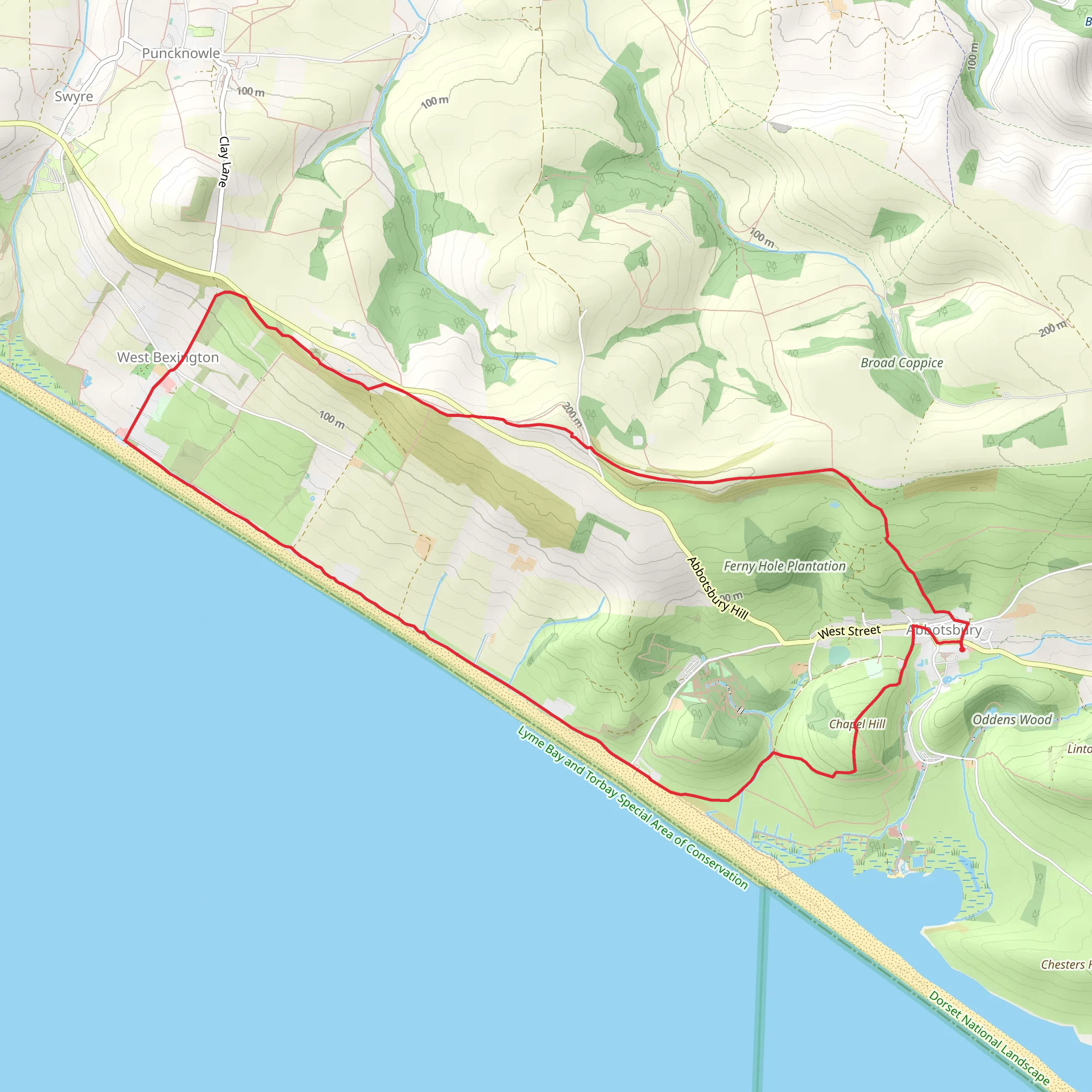
Starting near the charming village of Dorset, England, this 13 km (approximately 8 miles) loop trail offers a delightful mix of natural beauty and historical intrigue. The trailhead is conveniently located near the village, making it accessible by car or public transport. If you're driving, you can park at the village car park near the Dorset Village Hall. For those using public transport, the nearest bus stop is at Dorset Village Centre, serviced by local buses from nearby towns.
Trail Overview
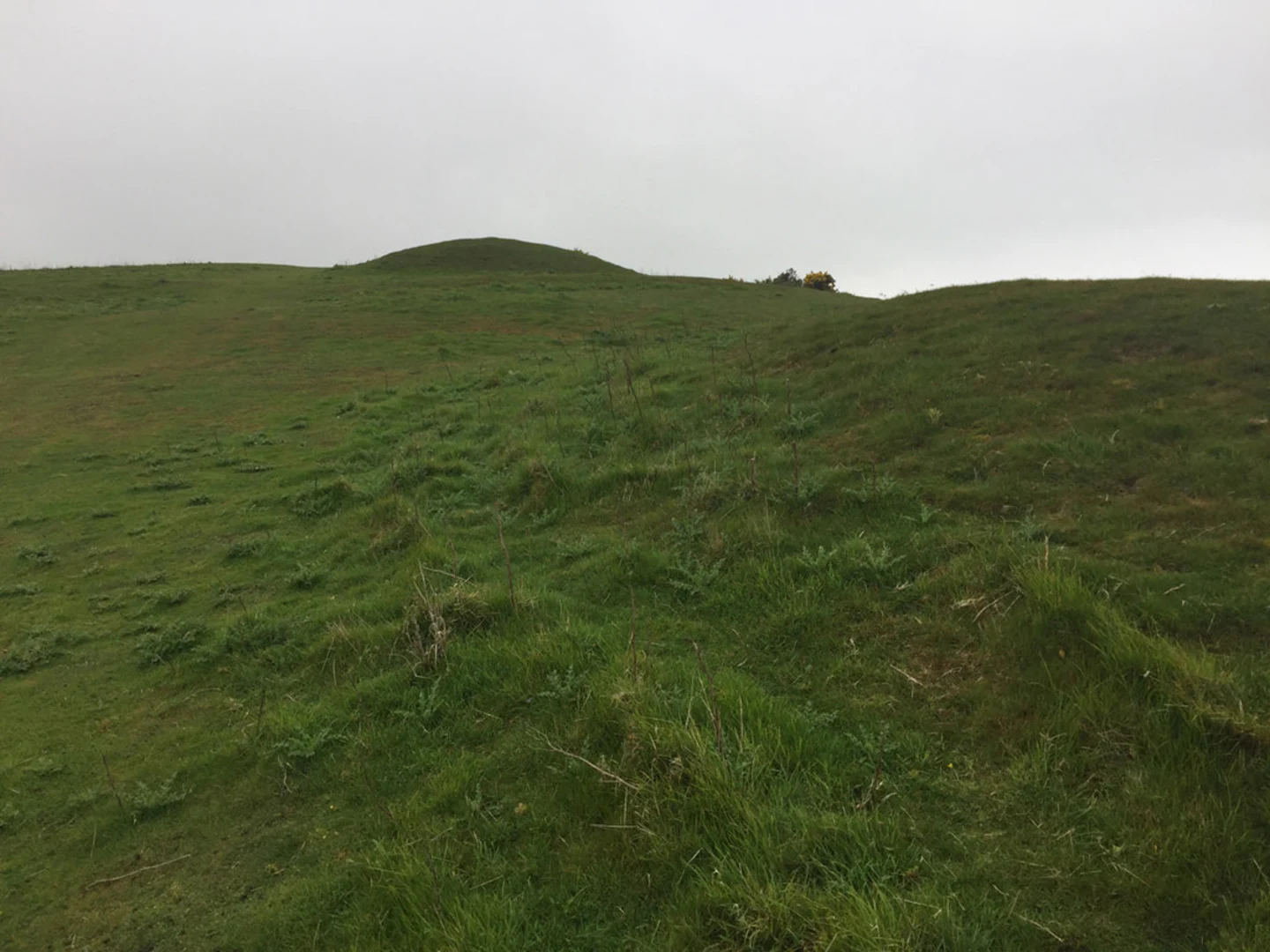
The trail begins with a gentle ascent along South Dorser Ridgeway, offering panoramic views of the surrounding countryside. The initial climb is about 100 meters (328 feet) over the first 3 km (1.9 miles), making it a manageable start for most hikers. As you ascend, keep an eye out for the diverse flora, including wildflowers and ancient oak trees that line the path.
Significant Landmarks and Nature
At around the 4 km (2.5 miles) mark, you'll reach a plateau that provides stunning vistas of the rolling hills and patchwork fields characteristic of the Dorset landscape. This is an excellent spot for a short break and some photography. Continuing along the ridgeway, you'll encounter several historical landmarks, including remnants of ancient Roman roads and medieval farmsteads. These sites offer a glimpse into the region's rich history and are well worth a brief exploration.
Wildlife and Natural Features
As you make your way towards Tulk's Hill, the trail meanders through a mix of open fields and dense woodlands. This section is particularly rich in wildlife; you might spot deer, foxes, and a variety of bird species, including kestrels and owls. The trail then descends gently into a valley, where a small brook runs parallel to the path for about 1 km (0.6 miles). This area is lush and green, providing a serene environment for a leisurely walk.
Elevation and Terrain
The total elevation gain for the trail is around 200 meters (656 feet), with the most significant climbs occurring in the first half of the hike. The terrain varies from well-trodden paths to more rugged sections, particularly as you approach Tulk's Hill. Good hiking boots are recommended, especially after rain when the trail can become muddy and slippery.
Historical Significance
The region around Dorset is steeped in history. The South Dorser Ridgeway itself has been used for centuries, serving as a crucial route for traders and travelers. The remnants of Roman roads you’ll encounter are a testament to the area's long-standing importance. Additionally, the medieval farmsteads scattered along the trail offer a fascinating glimpse into the agricultural practices of the past.
Navigation and Safety
For navigation, it's advisable to use the HiiKER app, which provides detailed maps and real-time updates. The trail is well-marked, but having a reliable navigation tool ensures you stay on track, especially in the more remote sections. Always carry sufficient water, snacks, and a basic first aid kit. Mobile reception can be patchy in some areas, so inform someone of your plans before setting out.
Final Stretch
The final stretch of the trail takes you along Burton Road, a quiet country lane that loops back towards Dorset village. This section is relatively flat and offers a relaxing end to your hike. As you approach the village, you'll pass by several traditional English cottages and gardens, adding a quaint touch to your journey.
This trail offers a perfect blend of natural beauty, historical landmarks, and diverse wildlife, making it a rewarding experience for hikers of all levels.
What to expect?
Activity types
Comments and Reviews
User comments, reviews and discussions about the Tulk's Hill via South Dorser Ridgeway and Burton Road, England.
4.4
average rating out of 5
5 rating(s)

