Download
Preview
Add to list
More
59.2 km
~3 days
779 m
Multi-Day
“Embark on a 59-km coastal trek showcasing historical sites, diverse wildlife, and stunning seaside towns from Milford on Sea to Bournemouth.”
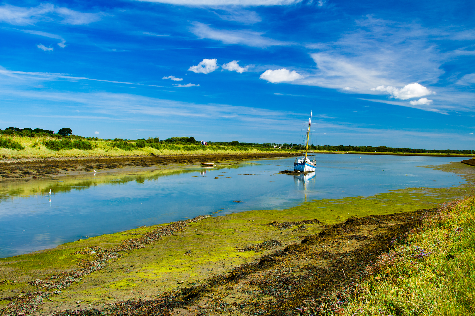
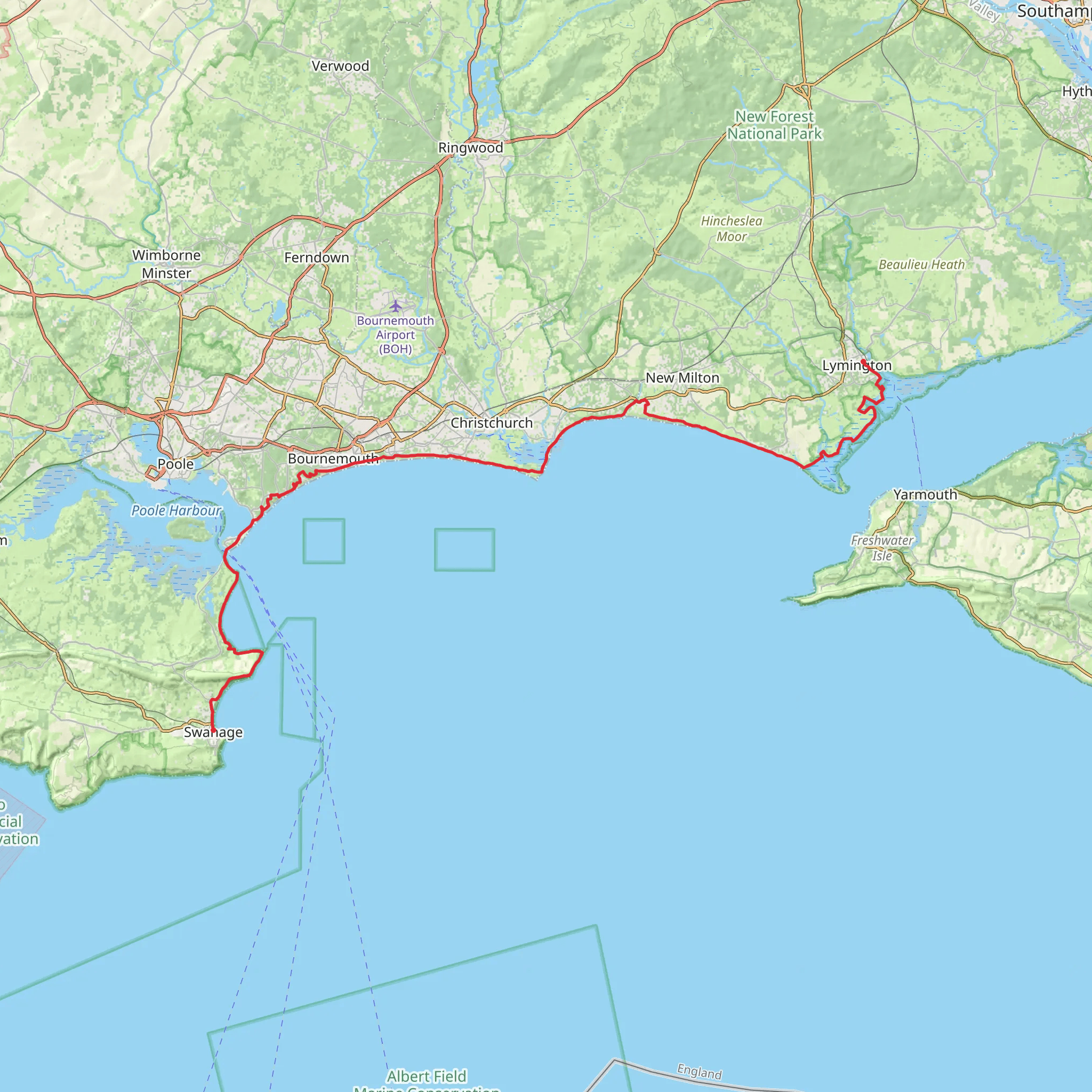
The Bournemouth Coast Path via Solent Way is a scenic journey that spans approximately 59 kilometers (about 36.7 miles) and features an elevation gain of around 700 meters (about 2296 feet). This point-to-point trail is nestled near Dorset, England, and offers a medium difficulty rating, making it accessible to hikers with a moderate level of experience.Starting at the trailhead near Milford on Sea, hikers can immerse themselves in the coastal beauty that characterizes this region. The trail can be reached by public transport, with local buses serving the area, or by car with parking available near the starting point.Coastal Vistas and WildlifeAs you embark on the trail, expect to be greeted by the expansive views of the Solent, the strait separating the Isle of Wight from the mainland of England. The path meanders along the coastline, offering opportunities to spot a variety of seabirds and, if you're lucky, glimpses of seals basking on the shores.The first section of the trail leads you through Hurst Spit, a shingle bank offering panoramic views of the sea and the Isle of Wight. This area is approximately 2.5 kilometers (1.5 miles) from the start and is a good spot to take a moment to appreciate the natural surroundings.Historical LandmarksContinuing along the path, hikers will encounter historical landmarks that tell the story of the region's past. Keyhaven Marshes, around 5 kilometers (3.1 miles) into the hike, is not only a haven for birdwatchers but also home to the remains of salt production industry that once thrived here.Further along, at about the 10-kilometer (6.2-mile) mark, you'll find the impressive Hurst Castle, a coastal fortress originally built by Henry VIII. This landmark offers a glimpse into England's Tudor history and maritime defense.Navigating the TrailAs you progress, the trail will take you through bustling seaside towns and peaceful stretches of countryside. Hikers can utilize the HiiKER app to navigate the route effectively, ensuring they stay on track and can locate nearby amenities such as rest stops, eateries, and accommodation.Natural Beauty and Challenging TerrainThe path continues to wind its way through the coastal landscape, with sections that will challenge your stamina. The terrain varies from flat, easy-going promenades to steeper cliff-top paths, particularly as you approach the midway point near Highcliffe Castle, around 29 kilometers (18 miles) from the start.Approaching the EndAs you near the end of the trail, the path takes you through the nature reserves of Hengistbury Head, where the scenery shifts to heathland and wetlands, rich with flora and fauna. This area is roughly 54 kilometers (33.5 miles) into the hike.The trail concludes in the vibrant town of Bournemouth, known for its Victorian architecture and seven miles of golden beaches. Upon reaching the end, hikers can celebrate their accomplishment with a stroll on the pier or a relaxing rest on the beach.To return to the starting point or continue your journey, Bournemouth offers excellent public transport links, including train and bus services, to various destinations.
What to expect?
Comments and Reviews
User comments, reviews and discussions about the Bournemouth Coast Path via Solent Way, England.
5.0
average rating out of 5
4 rating(s)

