Download
Preview
Add to list
More
76.1 km
~5 days
1783 m
Multi-Day
“"Hike the majestic South West Coast Path, where history and nature's splendor unite in Devon's dramatic landscape."”
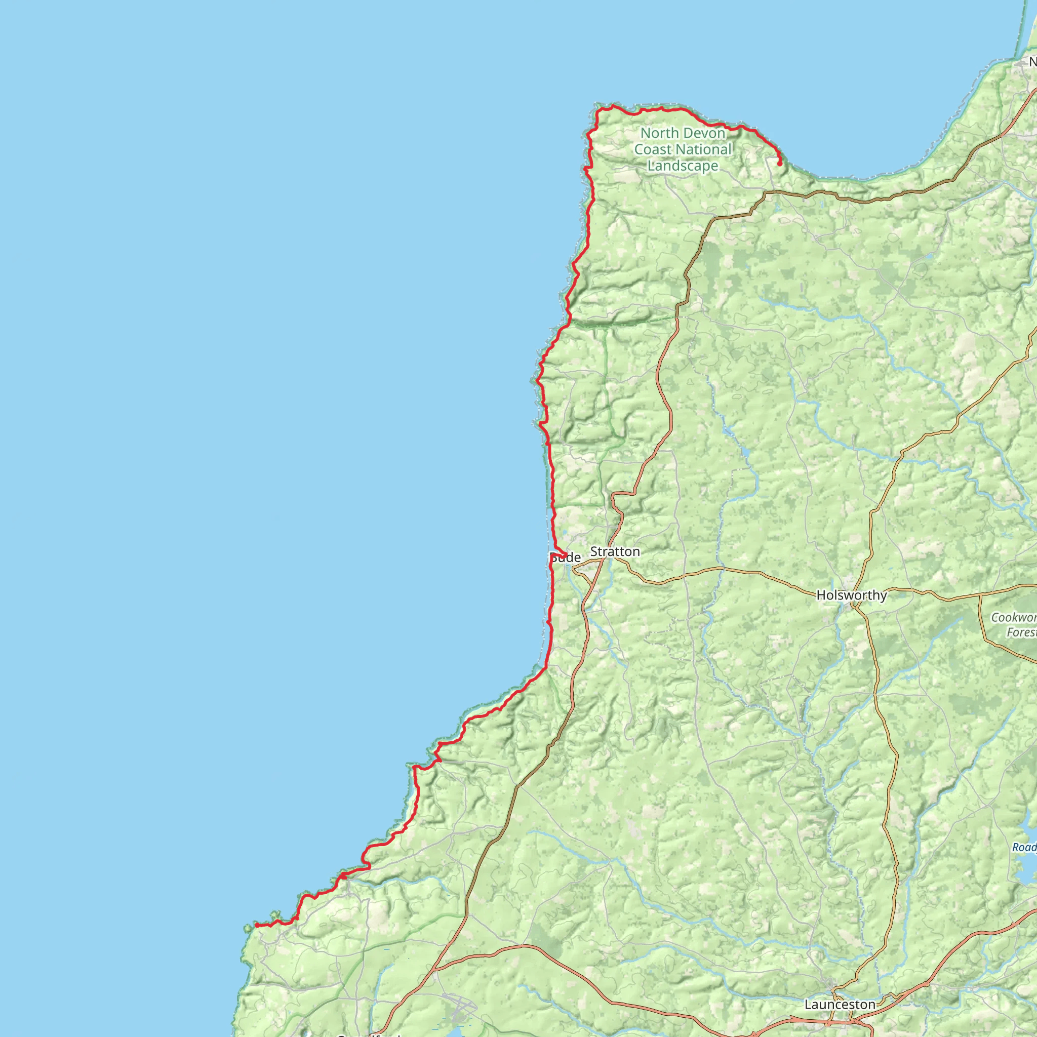
Embarking on the South West Coast Path from Clovelly to Tintagel, hikers will traverse approximately 76 kilometers (about 47 miles) of rugged coastline with an elevation gain of around 1700 meters (approximately 5577 feet). This point-to-point trail, rated as medium difficulty, offers a journey through some of the most breathtaking landscapes in Devon, England.
Getting to the Trailhead
The trailhead is located near the picturesque fishing village of Clovelly in Devon. For those arriving by public transport, buses serve the village from larger towns such as Barnstaple and Bideford. If driving, Clovelly is accessible via the A39 road, and there is a visitor car park at the top of the village, as Clovelly itself is traffic-free with steep, cobbled streets.
The Journey Begins
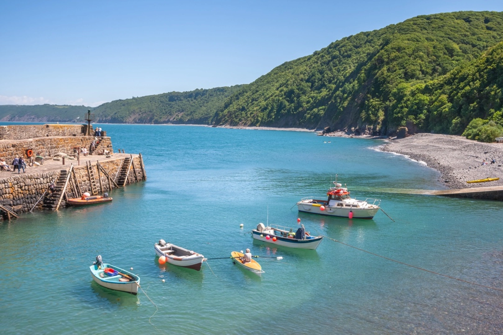
Setting out from Clovelly, hikers will immediately be greeted by steep descents and ascents as they navigate the cliff-top paths. The trail offers stunning views of the Bristol Channel and, on clear days, the Welsh coast. The path meanders through woodland and fields, with the occasional descent into secluded coves.
Wildlife and Nature
The area is rich in wildlife, with opportunities to spot seabirds such as fulmars, gannets, and puffins, especially during the breeding season. The coastal heathland and grasslands are home to a variety of plants and insects, and hikers may catch glimpses of marine life, including seals, dolphins, and basking sharks in the waters below.
Historical Landmarks
As hikers progress along the trail, they will encounter remnants of the region's history. The path passes by Iron Age hill forts, ancient burial mounds, and the ruins of once-thriving tin mines. The village of Tintagel, the endpoint of the hike, is steeped in Arthurian legend, with the ruins of Tintagel Castle purportedly linked to the mythical King Arthur.
Challenging Sections and Navigation
The trail includes some challenging sections, with steep climbs and descents that can be strenuous. Hikers should be prepared for variable weather conditions and bring appropriate gear. Navigation along the South West Coast Path is generally straightforward, with well-marked signs. For additional navigation support, hikers can use the HiiKER app, which provides detailed maps and trail information.
Accommodation and Resupply Points
There are several villages and hamlets along the route where hikers can find accommodation, ranging from campsites to bed and breakfasts. Resupply points for food and water are also available, but it's advisable to carry enough provisions between stops, as some sections of the trail are remote.
Conclusion
The South West Coast Path from Clovelly to Tintagel is a journey through a landscape rich in natural beauty and history. Hikers will be rewarded with dramatic coastal views, diverse wildlife, and a sense of stepping back in time as they explore this enchanting part of England's coastline.
What to expect?
Activity types
Comments and Reviews
User comments, reviews and discussions about the South West Coast Path - Clovelly to Tintagel, England.
4.8
average rating out of 5
10 rating(s)

