Download
Preview
Add to list
More
8.4 km
~1 hrs 55 min
143 m
Loop
“Explore the River Derwent Loop: an 8 km trail blending natural beauty, history, and wildlife spotting.”
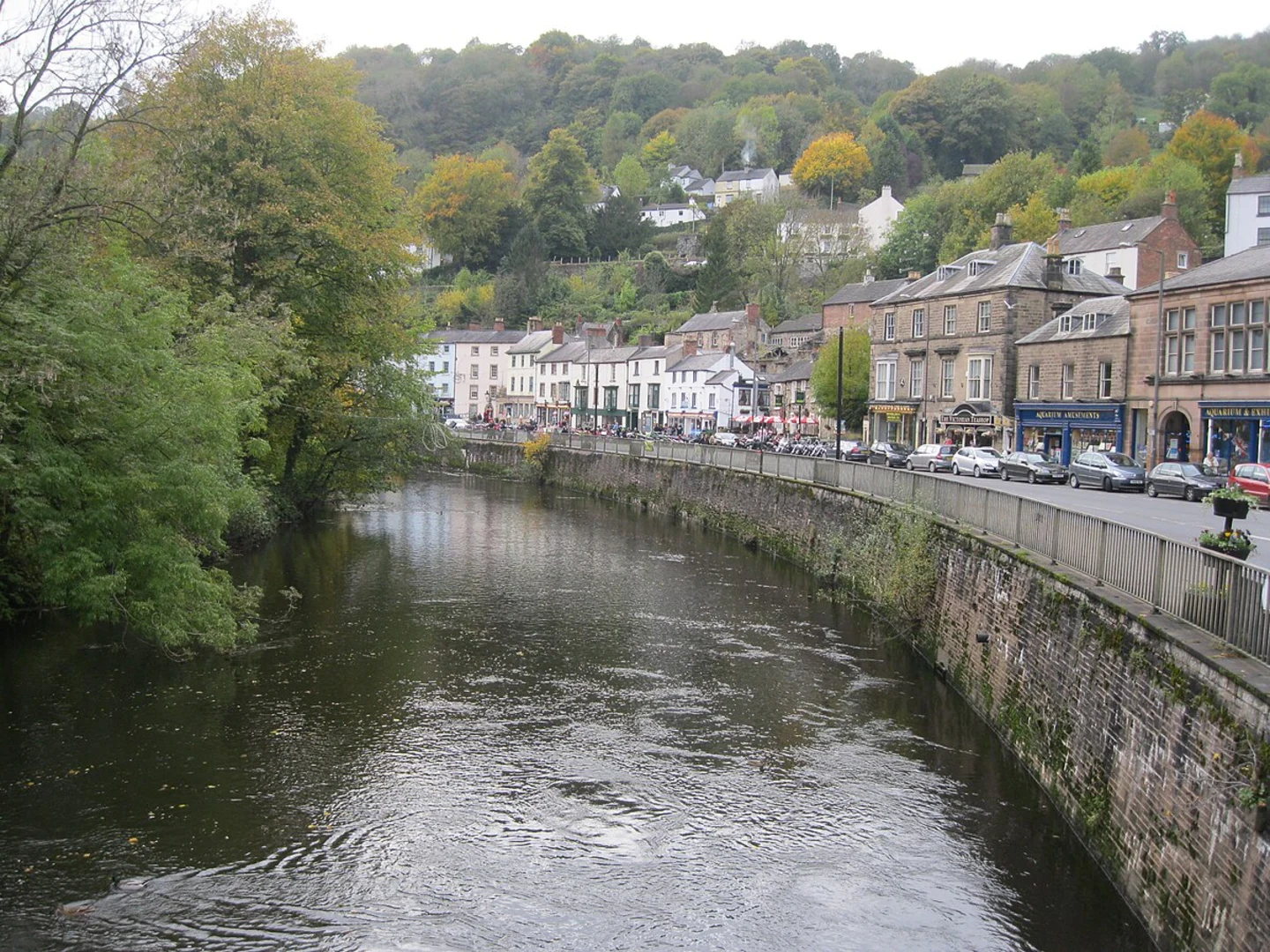
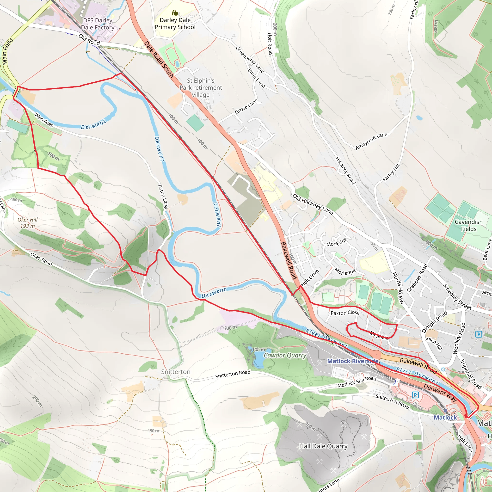
Starting near the charming town of Matlock in Derbyshire, England, the River Derwent Loop is an 8 km (approximately 5 miles) loop trail with an elevation gain of around 100 meters (328 feet). This medium-difficulty trail offers a delightful mix of natural beauty, historical landmarks, and opportunities to spot local wildlife.### Getting There To reach the trailhead, you can either drive or use public transport. If driving, head towards Matlock, Derbyshire, and look for parking options near the town center. For those using public transport, Matlock is well-served by trains and buses. The nearest train station is Matlock Station, located conveniently close to the trailhead. From the station, it's a short walk to the starting point of the loop.### Trail Overview The trail begins near the River Derwent, offering picturesque views right from the start. As you set off, you'll follow the riverbank, which is lined with lush greenery and offers a serene atmosphere. The initial section is relatively flat, making it a good warm-up for the more varied terrain ahead.### Historical Significance One of the highlights of this trail is its proximity to several historically significant sites. About 2 km (1.2 miles) into the hike, you'll come across the remnants of the old Cromford Mill, a UNESCO World Heritage Site. This mill played a crucial role in the Industrial Revolution and is worth a brief detour to explore. Information boards provide insights into the mill's history and its impact on the region.### Nature and Wildlife As you continue along the trail, you'll enter a more wooded area. This section is particularly rich in wildlife; keep an eye out for deer, foxes, and a variety of bird species. The dense foliage provides a cool, shaded environment, making it a pleasant walk even on warmer days.### Midpoint and Elevation Gain Around the 4 km (2.5 miles) mark, you'll begin to notice a gradual increase in elevation. This is the most challenging part of the trail, but the effort is rewarded with stunning views of the surrounding countryside. The ascent is steady but manageable, and there are plenty of spots to take a break and enjoy the scenery.### Scenic Overlooks and Landmarks As you reach the highest point of the trail, approximately 100 meters (328 feet) above your starting elevation, you'll be treated to panoramic views of the Derwent Valley. This is an excellent spot for photography or simply to take in the beauty of the landscape. On clear days, you can see for miles, making it a highlight of the hike.### Descending Back to Matlock The descent back towards Matlock is gentle and meanders through open fields and meadows. This section of the trail is less wooded, offering expansive views and a different perspective of the area. As you approach the end of the loop, you'll rejoin the riverbank, bringing you full circle to your starting point.### Navigation and Safety For navigation, it's highly recommended to use the HiiKER app, which provides detailed maps and real-time updates. The trail is well-marked, but having a reliable navigation tool ensures you stay on track and can fully enjoy the hike without any worries.### Final Stretch The last kilometer (0.6 miles) of the trail brings you back into Matlock, where you can explore the town's amenities. There are plenty of cafes and pubs where you can relax and reflect on your hike. Matlock Bath, a nearby village, is also worth a visit for its unique attractions, including the Heights of Abraham and its cable car rides.This trail offers a perfect blend of natural beauty, historical intrigue, and moderate physical challenge, making it a rewarding experience for hikers of all levels.
What to expect?
Activity types
Comments and Reviews
User comments, reviews and discussions about the River Derwent Loop - Matlock, England.
4.67
average rating out of 5
9 rating(s)

