Download
Preview
Add to list
More
21.6 km
~1 day 0 hrs
800 m
Loop
“Explore a scenic 22 km loop from Hope, featuring panoramic views, historical landmarks, and diverse wildlife.”
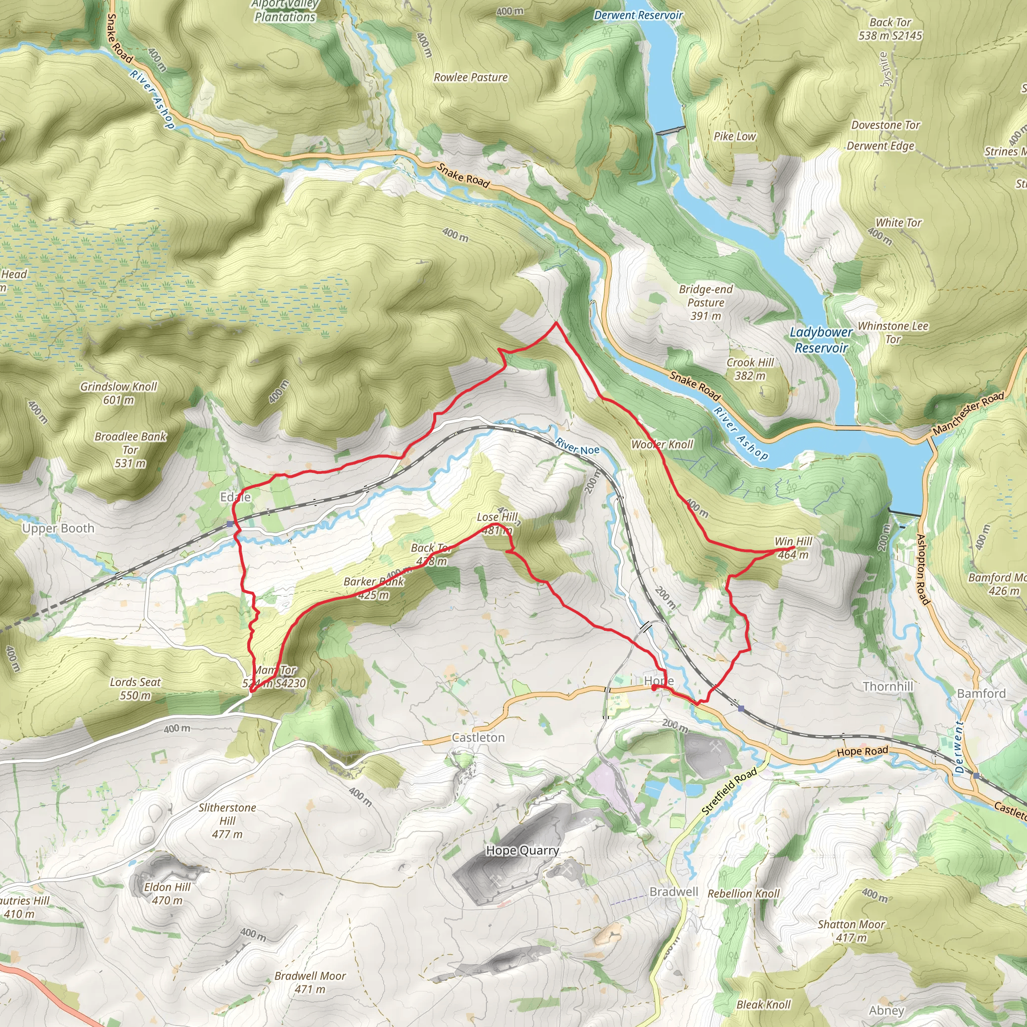
Starting near the charming village of Hope in Derbyshire, England, this 22 km (approximately 13.7 miles) loop trail offers a moderately challenging hike with an elevation gain of around 800 meters (about 2,625 feet). The trailhead is easily accessible by car, with parking available in Hope. For those using public transport, Hope is well-served by trains from Sheffield and Manchester, making it a convenient starting point for your adventure.
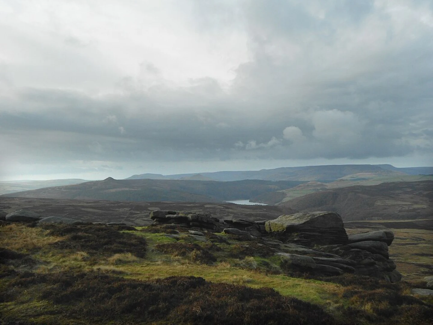
Initial Ascent to Lose Hill From Hope, the trail begins with a steady ascent towards Lose Hill. This initial climb is about 3 km (1.9 miles) and gains approximately 300 meters (984 feet) in elevation. As you ascend, you'll be treated to panoramic views of the Hope Valley and the surrounding Peak District National Park. The path is well-marked and primarily consists of grassy and rocky terrain.
Ridge Walk to Mam Tor After reaching the summit of Lose Hill, the trail continues along a scenic ridge towards Mam Tor, also known as the "Shivering Mountain." This section spans roughly 5 km (3.1 miles) and involves a series of gentle undulations. The ridge walk offers stunning vistas of the Edale Valley to the north and the Vale of Edale to the south. Keep an eye out for the remnants of ancient hill forts, which add a touch of historical intrigue to the landscape.
Mam Tor Summit Mam Tor stands at an elevation of 517 meters (1,696 feet) and is one of the most iconic peaks in the Peak District. The summit provides a 360-degree view of the surrounding countryside, including the Kinder Scout plateau and the Great Ridge. The area is rich in geological history, with visible landslips that have shaped the landscape over millennia.
Descent and Ascent to Win Hill From Mam Tor, the trail descends into the picturesque valley before beginning the ascent to Win Hill. This section is approximately 7 km (4.3 miles) and includes a mix of steep and gradual climbs. The path meanders through lush woodlands and open moorlands, offering a diverse range of flora and fauna. Birdwatchers may spot species such as the skylark and the red grouse.
Win Hill Summit Reaching the summit of Win Hill, which stands at 462 meters (1,516 feet), rewards hikers with breathtaking views of Ladybower Reservoir and the Derwent Valley. The summit is marked by a trig point and is an excellent spot for a well-deserved break. The area is steeped in history, with the nearby Derwent Dam playing a crucial role during World War II as a training site for the famous Dambusters raid.
Return to Hope The final leg of the journey involves a descent back into the Hope Valley, covering approximately 7 km (4.3 miles). The path winds through scenic farmlands and quaint villages, offering a peaceful end to the hike. The terrain is relatively gentle, making for a comfortable return to the starting point in Hope.
Navigation and Safety Given the varied terrain and potential for rapidly changing weather conditions, it's advisable to use a reliable navigation tool like HiiKER to stay on track. Ensure you are well-prepared with appropriate clothing, footwear, and sufficient water and snacks. The trail is well-marked, but having a map and compass as a backup is always a good idea.
This loop trail from Hope offers a rich blend of natural beauty, historical landmarks, and diverse wildlife, making it a rewarding experience for hikers of all levels.
What to expect?
Activity types
Comments and Reviews
User comments, reviews and discussions about the Lose Hill, Mam Tor and WIn Hill Loop from Hope, England.
4.6
average rating out of 5
5 rating(s)

