Download
Preview
Add to list
More
10.6 km
~2 hrs 36 min
291 m
Loop
“Explore Derbyshire's scenic beauty and history on the 11 km Crich, Whatstandwell, and Wakebridge Loop.”
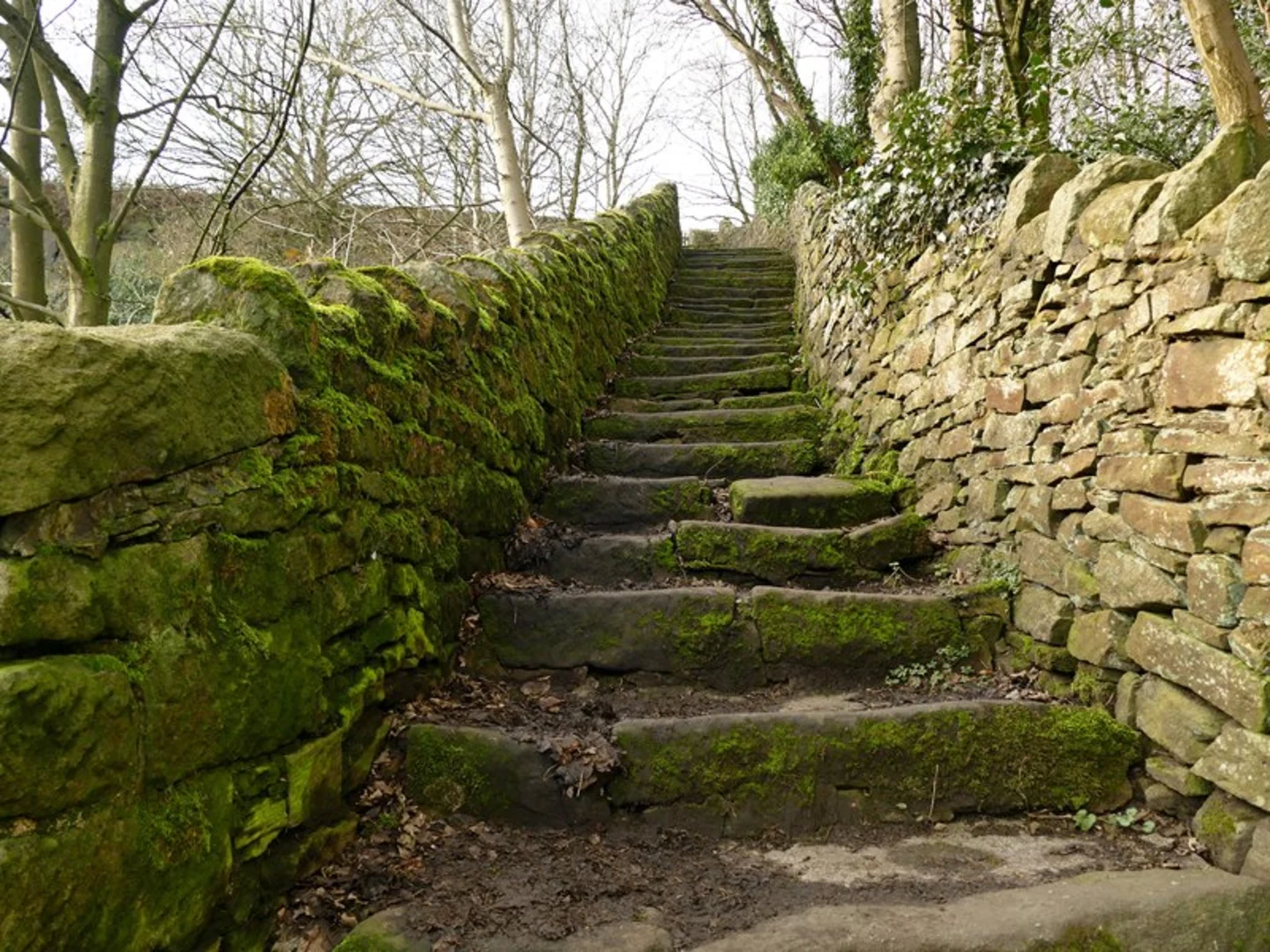
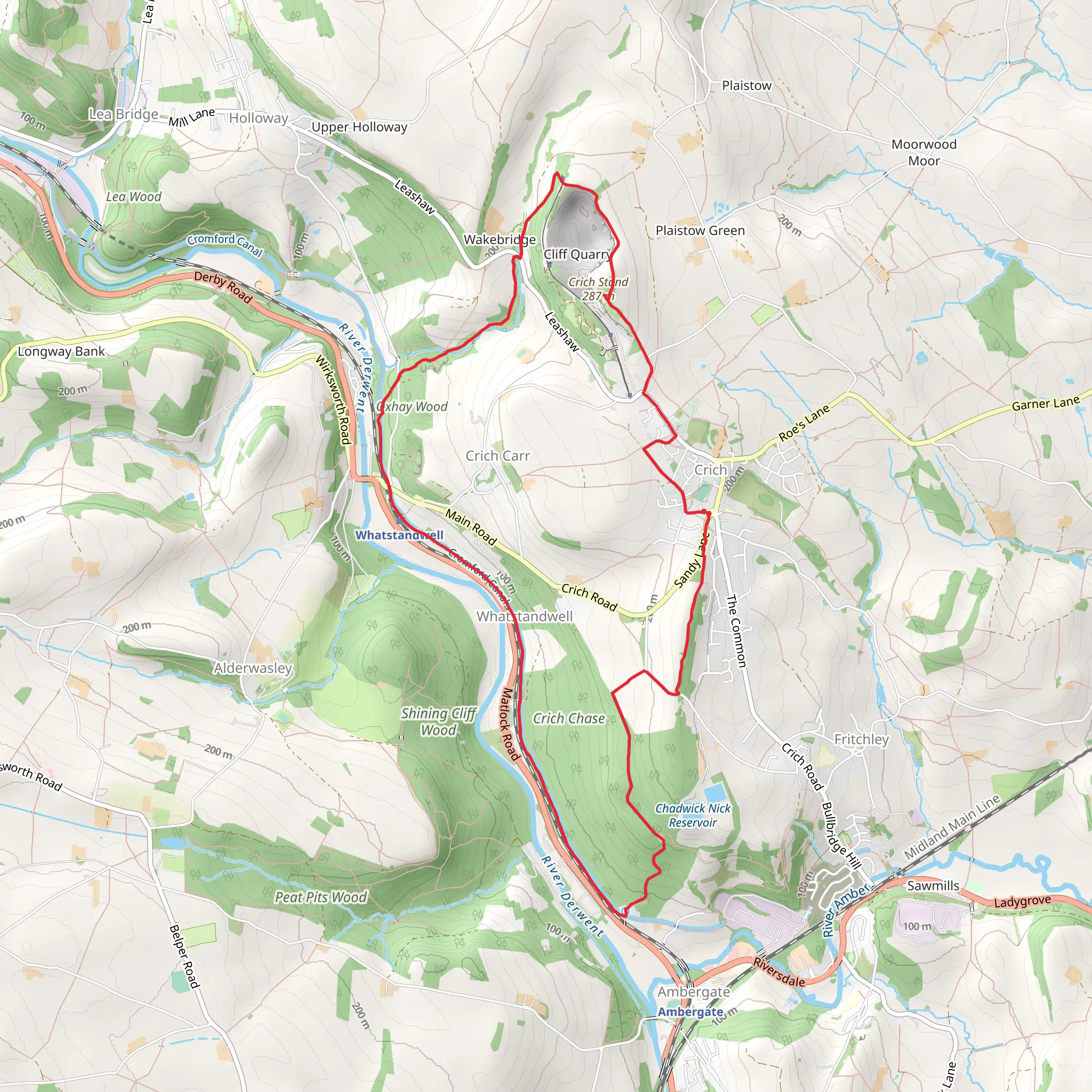
Starting near Derbyshire, England, the Crich, Whatstandwell and Wakebridge Loop is a delightful 11 km (approximately 6.8 miles) trail with an elevation gain of around 200 meters (656 feet). This loop trail is rated as medium difficulty, making it suitable for moderately experienced hikers.### Getting There To reach the trailhead, you can drive or use public transport. If driving, you can park near the Crich Tramway Village, a well-known landmark in the area. For those using public transport, the nearest train station is Whatstandwell, which is about a 15-minute walk from the trailhead. Buses also serve the area, with stops near Crich and Whatstandwell.### Trail Overview The trail begins near the Crich Tramway Village, a historical site that offers a glimpse into the region's rich tramway history. As you start your hike, you'll be greeted by rolling hills and lush greenery, typical of the Derbyshire countryside.### Key Sections and Landmarks
Crich Stand
About 2 km (1.2 miles) into the hike, you'll encounter Crich Stand, a prominent landmark and war memorial. This tower offers panoramic views of the surrounding countryside and is a great spot for a short break. The elevation gain to this point is around 100 meters (328 feet), so be prepared for a bit of a climb.#### Whatstandwell Continuing on, you'll descend towards Whatstandwell, a charming village nestled along the River Derwent. This section of the trail is relatively flat and offers a peaceful walk along the riverbank. Keep an eye out for local wildlife, including various bird species and small mammals.#### Wakebridge As you make your way towards Wakebridge, the trail begins to ascend again, gaining another 100 meters (328 feet) in elevation. This part of the hike takes you through dense woodlands and open fields, offering a mix of shaded and sunny areas. Wakebridge itself is a small hamlet with historical significance, known for its old stone buildings and rural charm.### Navigation and Safety Given the varied terrain and elevation changes, it's advisable to use a reliable navigation tool like HiiKER to stay on track. The trail is well-marked, but having a digital map can be incredibly helpful, especially in the wooded sections.### Flora and Fauna The trail is rich in biodiversity. In the spring and summer months, you'll find wildflowers in full bloom, adding vibrant colors to the landscape. The woodlands are home to oak, ash, and beech trees, providing a habitat for various bird species like woodpeckers and owls. Deer and foxes are also commonly spotted in the area.### Historical Significance The region is steeped in history, from the Crich Tramway Village to the ancient stone buildings in Wakebridge. The Crich Stand itself is a war memorial dedicated to the Sherwood Foresters Regiment, adding a poignant historical touch to your hike.### Final Stretch The final leg of the loop brings you back towards Crich, passing through open fields and offering stunning views of the Derbyshire countryside. This section is relatively easy, allowing you to cool down and reflect on the diverse landscapes and historical landmarks you've encountered.This 11 km loop offers a balanced mix of natural beauty, historical significance, and moderate physical challenge, making it a rewarding experience for any hiker.
What to expect?
Activity types
Comments and Reviews
User comments, reviews and discussions about the Crich, Whatstandwell and Wakebridge Loop, England.
average rating out of 5
0 rating(s)

