Download
Preview
Add to list
More
8.3 km
~3 hrs 10 min
900 m
Loop
“Embark on Scafell Pike via Lingmell Gill for a challenging, scenic 8 km hike with rich history.”
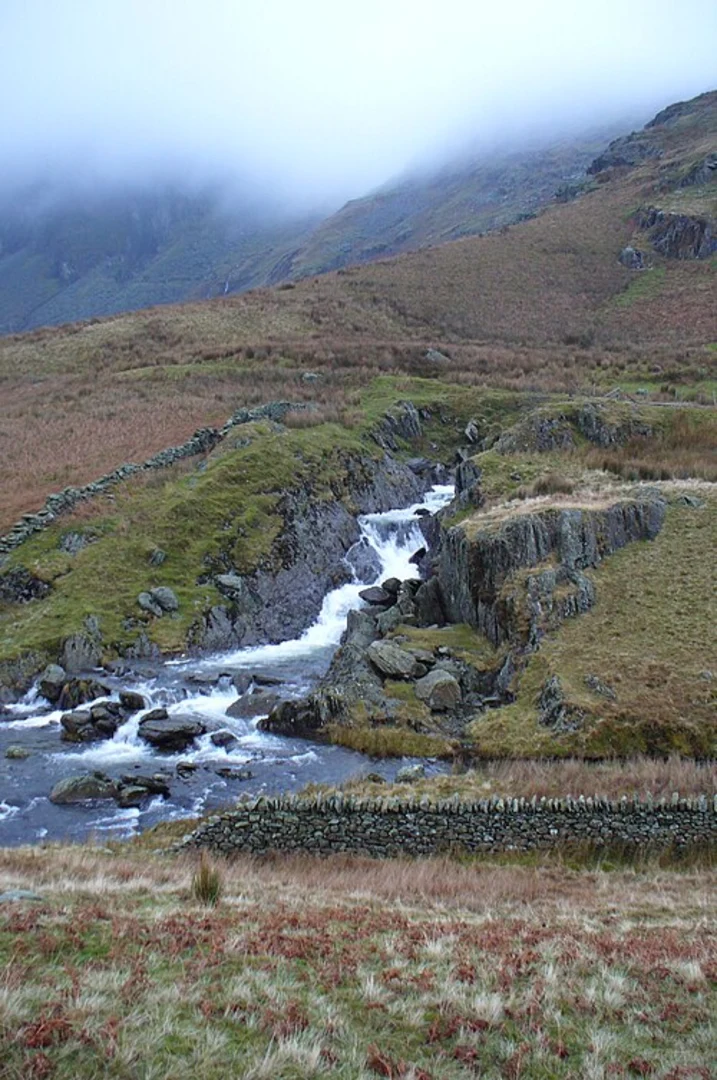
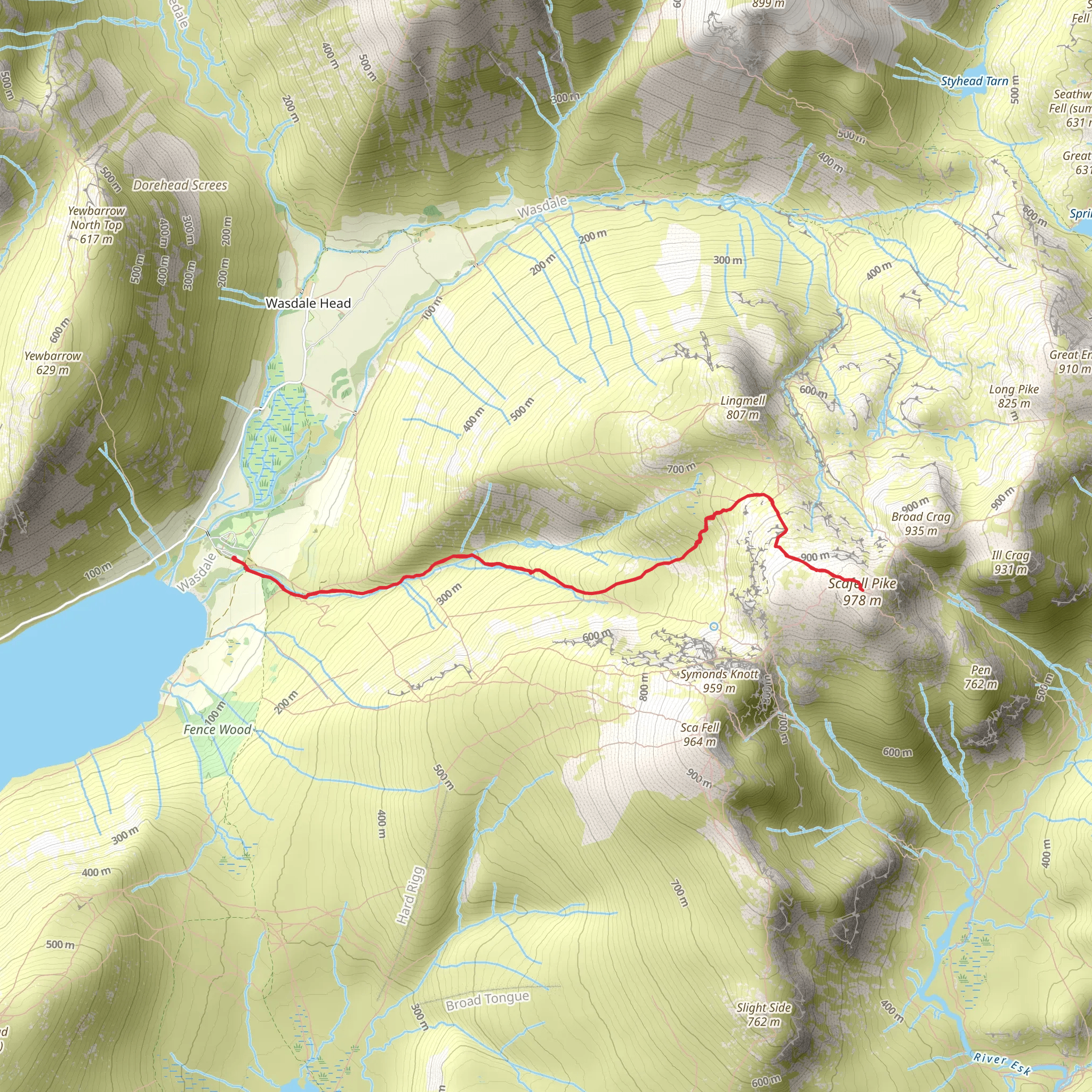
Starting your hike near Cumberland, England, the Scafell Pike via Lingmell Gill trail offers an invigorating loop of around 8 km (5 miles) with an elevation gain of approximately 900 meters (2,950 feet). This medium-difficulty trail is a favorite among hikers seeking both challenge and breathtaking scenery.### Getting There To reach the trailhead, you can drive or use public transport. If driving, head towards Wasdale Head, where parking is available. For those using public transport, the nearest significant landmark is the Wasdale Head Inn, which is accessible via local bus services from nearby towns such as Keswick or Whitehaven. From the Wasdale Head Inn, the trailhead is just a short walk away.### Trail Overview The trail begins with a gentle ascent along Lingmell Gill, a picturesque stream that provides a serene start to your hike. As you follow the gill, you'll notice the landscape gradually changing from lush greenery to more rugged terrain. The initial 2 km (1.2 miles) of the trail are relatively easy, with an elevation gain of about 200 meters (650 feet).### Significant Landmarks and Nature At around the 3 km (1.9 miles) mark, you'll reach a fork where the path splits. Take the right path to continue towards Lingmell Col. This section is steeper, with an elevation gain of approximately 400 meters (1,300 feet) over the next 1.5 km (0.9 miles). As you ascend, you'll be treated to stunning views of Wast Water, England's deepest lake, and the surrounding fells.### Historical Significance Scafell Pike holds a special place in British history. It was donated to the National Trust in 1919 by Lord Leconfield in memory of the men from the Lake District who died in World War I. The summit itself is marked by a large cairn, and on clear days, you can see as far as Scotland, Wales, and Ireland.### Wildlife and Flora The area is rich in wildlife, including red deer, peregrine falcons, and the occasional golden eagle. The flora varies with altitude, from ancient oak woodlands at lower elevations to hardy alpine plants near the summit. Keep an eye out for rare species like the alpine saxifrage and the mountain avens.### Reaching the Summit The final push to the summit of Scafell Pike is challenging, with a rocky and uneven path. This last 1 km (0.6 miles) involves an elevation gain of about 300 meters (980 feet). The effort is well worth it, as the summit offers panoramic views that are truly awe-inspiring.### Descent and Return For the descent, follow the path leading towards Lingmell Col and then take the left fork to loop back towards Lingmell Gill. This route is less steep and allows for a more relaxed return. The descent covers approximately 3 km (1.9 miles) with a gradual loss of elevation, making it easier on the knees.### Navigation and Safety Given the rugged terrain and variable weather conditions, it's advisable to use a reliable navigation tool like HiiKER to stay on track. Ensure you are well-prepared with appropriate gear, including sturdy hiking boots, weather-appropriate clothing, and sufficient water and snacks.This trail offers a perfect blend of natural beauty, historical significance, and physical challenge, making it a must-do for any avid hiker.
What to expect?
Activity types
Comments and Reviews
User comments, reviews and discussions about the Scafell Pike via Lingmell Gill, England.
4.73
average rating out of 5
11 rating(s)

