Download
Preview
Add to list
More
8.6 km
~2 hrs 31 min
479 m
Loop
“Embark on a captivating 9 km hike through lush woodlands, stunning peaks, and historical landscapes in Cumberland.”
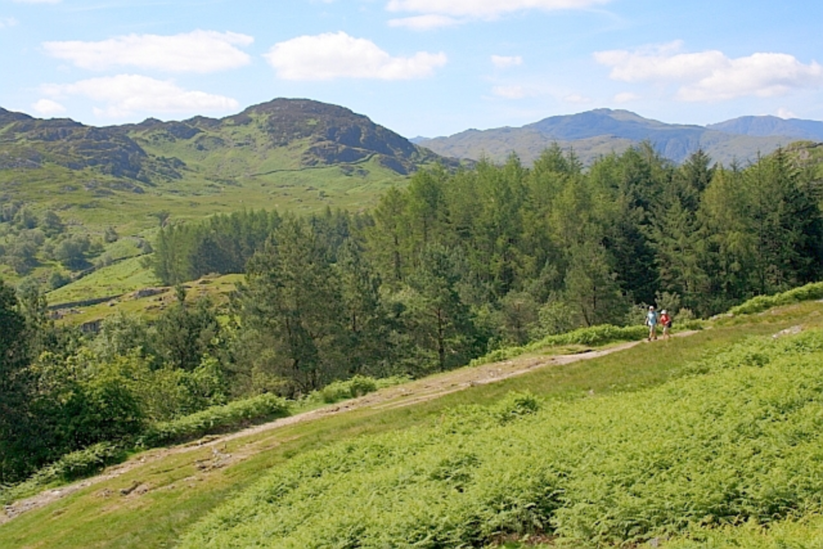
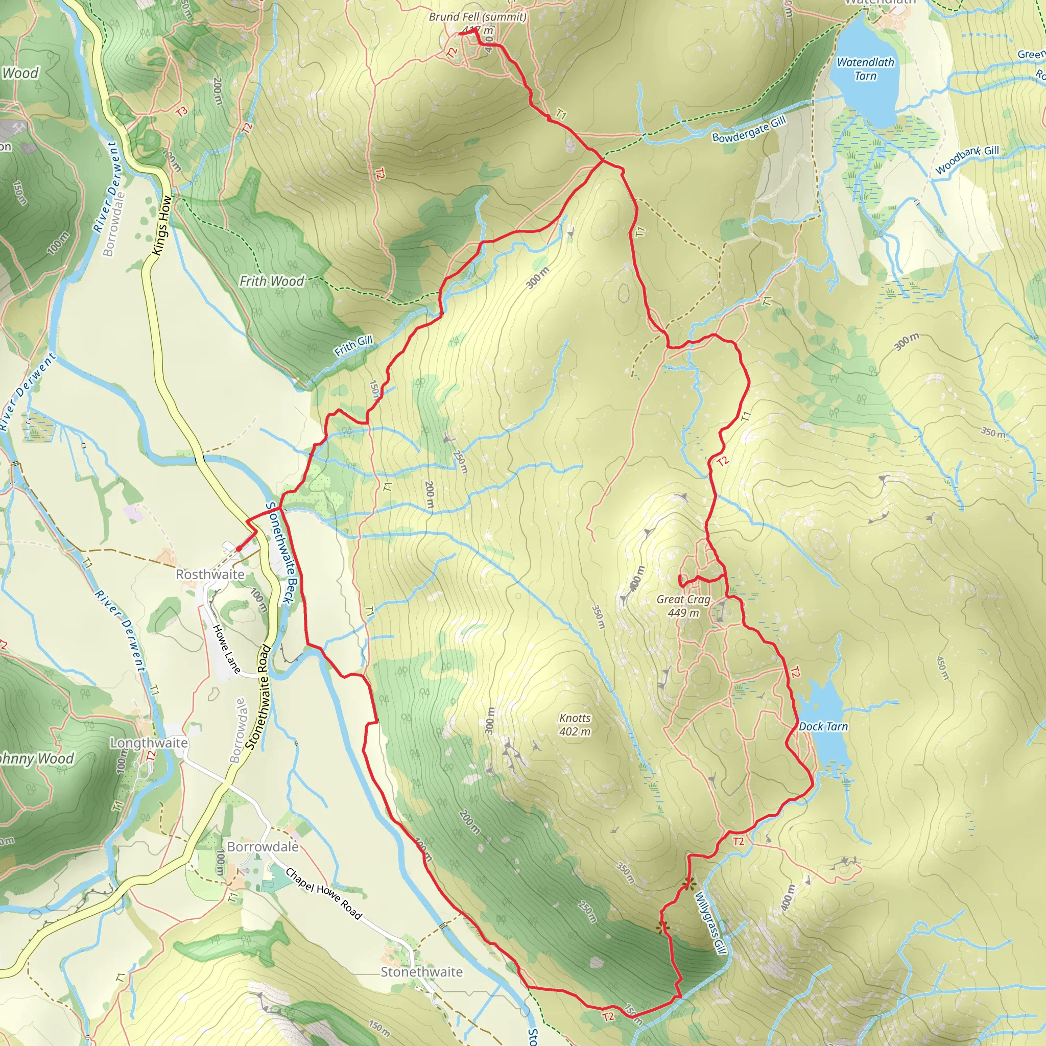
Starting your adventure near Cumberland, England, the Grange Fell, Great Crag, and Dock Tarn Loop is a captivating 9 km (5.6 miles) journey with an elevation gain of approximately 400 meters (1,312 feet). This loop trail is rated medium in difficulty, making it suitable for moderately experienced hikers.### Getting There To reach the trailhead, you can drive or use public transport. If driving, head towards the village of Rosthwaite in the Borrowdale Valley, where parking is available. For those using public transport, take a bus to Keswick and then a connecting bus to Rosthwaite. The trailhead is conveniently located near the village, making it easily accessible.### Trail Overview The loop begins with a gentle ascent through lush woodlands, offering a serene start to your hike. As you progress, the path becomes steeper, leading you towards Grange Fell. The initial 2 km (1.2 miles) of the trail will see you gaining around 150 meters (492 feet) in elevation.### Grange Fell Upon reaching Grange Fell, you'll be rewarded with panoramic views of the Borrowdale Valley and Derwentwater. This area is rich in flora, with a variety of wildflowers during the spring and summer months. Keep an eye out for red squirrels and a variety of bird species that inhabit the region.### Great Crag Continuing on, the trail takes you towards Great Crag. This section involves a more challenging ascent, with rocky terrain and steeper inclines. Over the next 3 km (1.9 miles), you'll gain an additional 200 meters (656 feet) in elevation. The summit of Great Crag offers stunning vistas of the surrounding fells and valleys, making it a perfect spot for a rest and some photography.### Dock Tarn Descending from Great Crag, the trail leads you to Dock Tarn, a tranquil mountain tarn surrounded by heather and rocky outcrops. This is an ideal spot for a picnic or a moment of reflection. The tarn is approximately 6 km (3.7 miles) into your hike, and the descent will see you losing around 100 meters (328 feet) in elevation.### Historical Significance The Borrowdale Valley has a rich history, with evidence of human activity dating back to the Neolithic period. The area was also significant during the medieval period, with remnants of old mining activities. As you hike, you'll pass by ancient stone walls and possibly even old mining sites, offering a glimpse into the region's past.### Final Stretch The final 3 km (1.9 miles) of the loop take you through a mix of woodland and open moorland, gradually descending back towards Rosthwaite. This section is relatively easy, allowing you to enjoy the natural beauty of the area without much effort. The total elevation loss in this section is around 150 meters (492 feet).### Navigation For navigation, it's recommended to use HiiKER, which provides detailed maps and real-time tracking to ensure you stay on the right path. The trail is well-marked, but having a reliable navigation tool can enhance your hiking experience.This loop trail offers a perfect blend of natural beauty, moderate challenge, and historical intrigue, making it a must-do for hikers visiting the Cumberland area.
What to expect?
Activity types
Comments and Reviews
User comments, reviews and discussions about the Grange Fell, Great Crag and Dock Tarn Loop, England.
4.5
average rating out of 5
4 rating(s)

