Download
Preview
Add to list
More
5.5 km
~1 hrs 59 min
535 m
Out and Back
“Embark on a scenic 6 km hike through Dodd Wood, rich in wildlife, history, and panoramic views.”
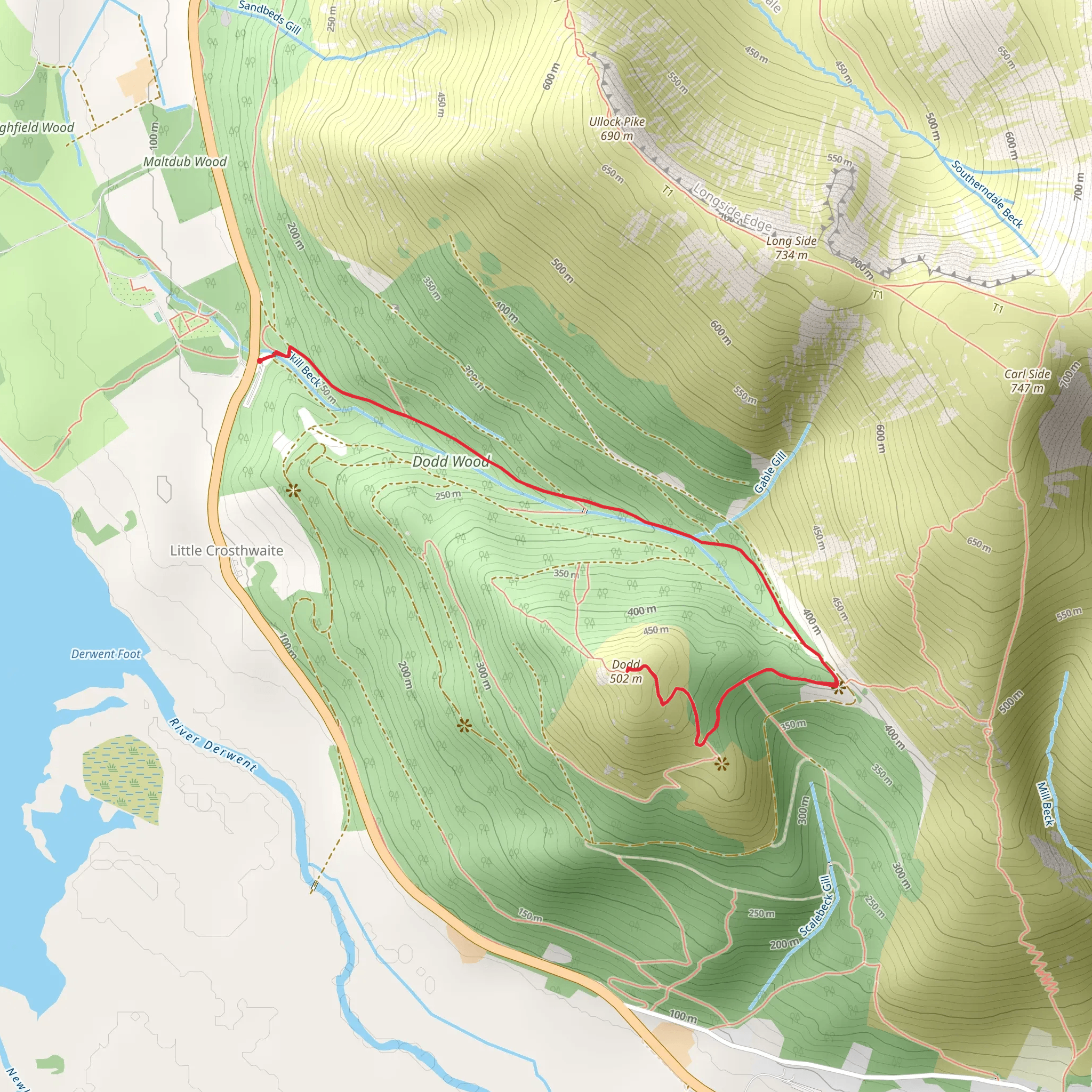
Starting your hike from the Dodd Wood Car Park near Cumberland, England, you'll embark on a 6 km (approximately 3.7 miles) out-and-back trail with an elevation gain of around 500 meters (1,640 feet). This trail is rated as medium difficulty, making it suitable for moderately experienced hikers.
Getting There To reach the trailhead, you can drive to Dodd Wood Car Park, which is conveniently located near the A591 road. If you're using public transport, the nearest significant landmark is Keswick, a charming market town. From Keswick, you can take a local bus service that stops near the car park. Alternatively, a taxi ride from Keswick to the car park is a quick and easy option.
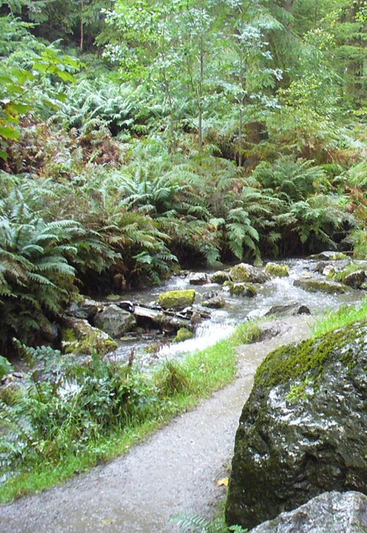
Trail Overview The trail begins at the Dodd Wood Car Park, where you can find ample parking space and basic amenities. As you start your ascent, you'll be greeted by a well-marked path that winds through dense woodland. The initial section of the trail is relatively gentle, allowing you to acclimate to the terrain.
Flora and Fauna As you hike through Dodd Wood, keep an eye out for the diverse wildlife that inhabits the area. Red squirrels are a common sight, and if you're lucky, you might spot a roe deer. The woodland is also home to a variety of bird species, including woodpeckers and buzzards. The flora is equally impressive, with ancient oak and beech trees providing a lush canopy overhead.
Midway Point At approximately 2 km (1.2 miles) into the hike, you'll reach a clearing that offers your first panoramic views of the surrounding landscape. This is a great spot to take a short break and hydrate. The elevation gain up to this point is around 200 meters (656 feet), and the trail starts to become steeper from here.
Historical Significance The region around Dodd Wood has a rich history. The woodlands were once part of the extensive hunting grounds of the medieval lords of Cumberland. The area also played a role during the Industrial Revolution, with parts of the forest being used for charcoal production to fuel local ironworks.
Final Ascent The final 1 km (0.6 miles) of the trail is the most challenging, with a steep incline that will test your endurance. However, the effort is well worth it. As you approach the summit of Dodd, the trees thin out, and you're rewarded with breathtaking views of the Lake District. On a clear day, you can see as far as the Solway Firth and the Scottish hills beyond.
Summit Reaching the summit, you'll find a trig point marking the highest elevation. Take a moment to enjoy the 360-degree views, which include Skiddaw, Bassenthwaite Lake, and Derwentwater. This is an ideal spot for a picnic, so pack some snacks and take in the scenery.
Descent The descent follows the same path back to the car park. While the downhill journey is easier on the lungs, it can be tough on the knees, so take your time and use trekking poles if you have them.
Navigation For navigation, it's highly recommended to use the HiiKER app, which provides detailed maps and real-time updates to ensure you stay on track.
This trail offers a perfect blend of natural beauty, wildlife, and historical intrigue, making it a rewarding experience for any hiker.
What to expect?
Activity types
Comments and Reviews
User comments, reviews and discussions about the Dodd from Dodd Wood Car Park, England.
4.75
average rating out of 5
4 rating(s)

