Download
Preview
Add to list
More
20.0 km
~4 hrs 8 min
89 m
Loop
“Explore the scenic, historical, and wildlife-rich 20 km Bowness on Solway to Anthorn Loop, accessible for many.”
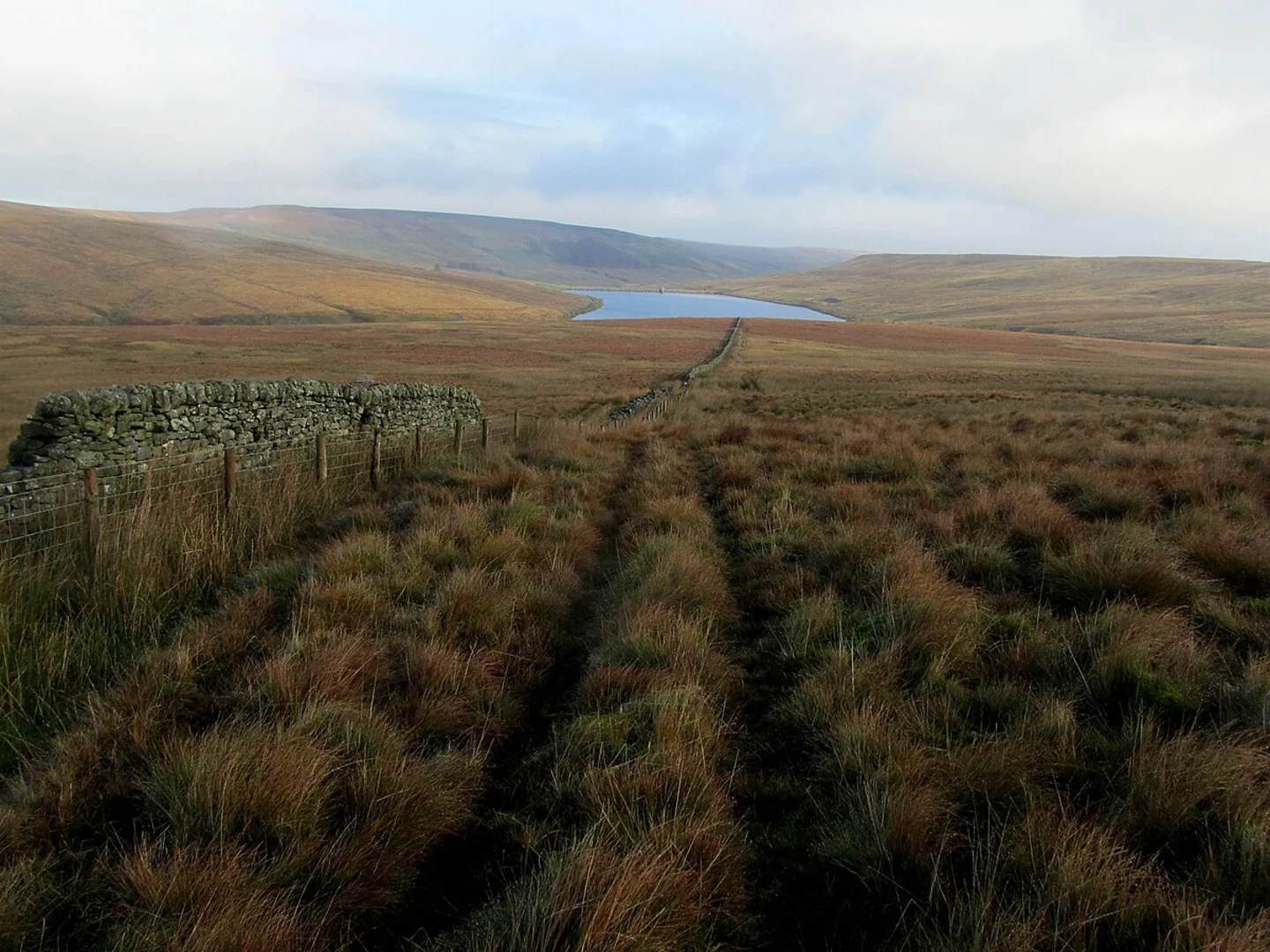
Starting near Cumberland, England, the Bowness on Solway to Anthorn and Whitrigg Loop is a captivating 20 km (approximately 12.4 miles) trail with virtually no elevation gain, making it accessible for a wide range of hikers. This loop trail is estimated to be of medium difficulty, offering a blend of scenic beauty, historical landmarks, and diverse wildlife.
Getting There
To reach the trailhead, you can drive to Bowness on Solway, which is well-connected by local roads. For those relying on public transport, the nearest major town is Carlisle. From Carlisle, you can take a bus to Bowness on Solway, which is approximately 14 miles (22.5 km) away. The bus journey offers a scenic route through the Cumbrian countryside, setting the tone for your hike.
Trail Overview
The trail begins in the quaint village of Bowness on Solway, a place steeped in history as it marks the western end of Hadrian's Wall. As you set off, you'll be walking along the Solway Firth, an estuary that forms part of the border between England and Scotland. The flat terrain makes for an easy start, allowing you to take in the expansive views of the estuary and the distant Scottish hills.
Key Landmarks and Points of Interest
- Hadrian's Wall: Although much of the wall has eroded over time, remnants can still be seen near Bowness on Solway. This ancient Roman fortification once marked the northern boundary of the Roman Empire.
- Anthorn Radio Station: About 6 km (3.7 miles) into the hike, you'll come across the Anthorn Radio Station. This facility is notable for its role in transmitting the UK's national time signal.
- Whitrigg: As you loop back towards Whitrigg, approximately 15 km (9.3 miles) into the hike, you'll pass through lush farmland and small woodlands. This area is rich in birdlife, so keep an eye out for species like curlews and lapwings.
Nature and Wildlife
The Solway Firth is a designated Area of Outstanding Natural Beauty (AONB), and it's easy to see why. The estuary is a haven for birdwatchers, especially during the migratory seasons when thousands of birds stop to rest and feed. You might spot oystercatchers, redshanks, and even the occasional peregrine falcon. The surrounding marshlands are also home to various plant species, including sea lavender and thrift.
Navigation and Safety
Given the flat terrain and well-marked paths, navigation is relatively straightforward. However, it's always wise to have a reliable navigation tool like HiiKER to ensure you stay on track. The trail can be muddy, especially after rain, so waterproof boots are recommended. Additionally, the estuary can be windy, so layers are advisable to keep warm.
Historical Significance
The region is rich in history, from the Roman era to more recent times. Bowness on Solway was an important site during the Roman occupation, serving as a fort along Hadrian's Wall. The village of Anthorn has historical significance as well, with its radio station playing a crucial role during World War II and continuing to be an important site for time signal transmissions.
Final Stretch
As you complete the loop and head back towards Bowness on Solway, you'll pass through serene countryside, offering a peaceful end to your hike. The lack of elevation gain makes this trail suitable for a wide range of fitness levels, but the distance ensures it's a fulfilling day out in nature.
This trail offers a unique blend of natural beauty, historical intrigue, and wildlife, making it a must-visit for anyone looking to explore the Cumbrian landscape.

What to expect?
Activity types
Comments and Reviews
User comments, reviews and discussions about the Bowness on Solway to Antorn and Whitrigg Loop, England.
average rating out of 5
0 rating(s)