Download
Preview
Add to list
More
Trail length
21.6 km
Time
~2 days
Elevation Gain
400 m
Hike Type
Multi-Day
“The High Cap Nick trail offers serene reservoir views, dramatic waterfalls, diverse wildlife, and rich history for moderately experienced hikers.”
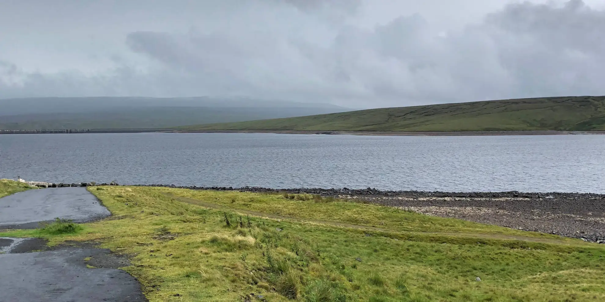
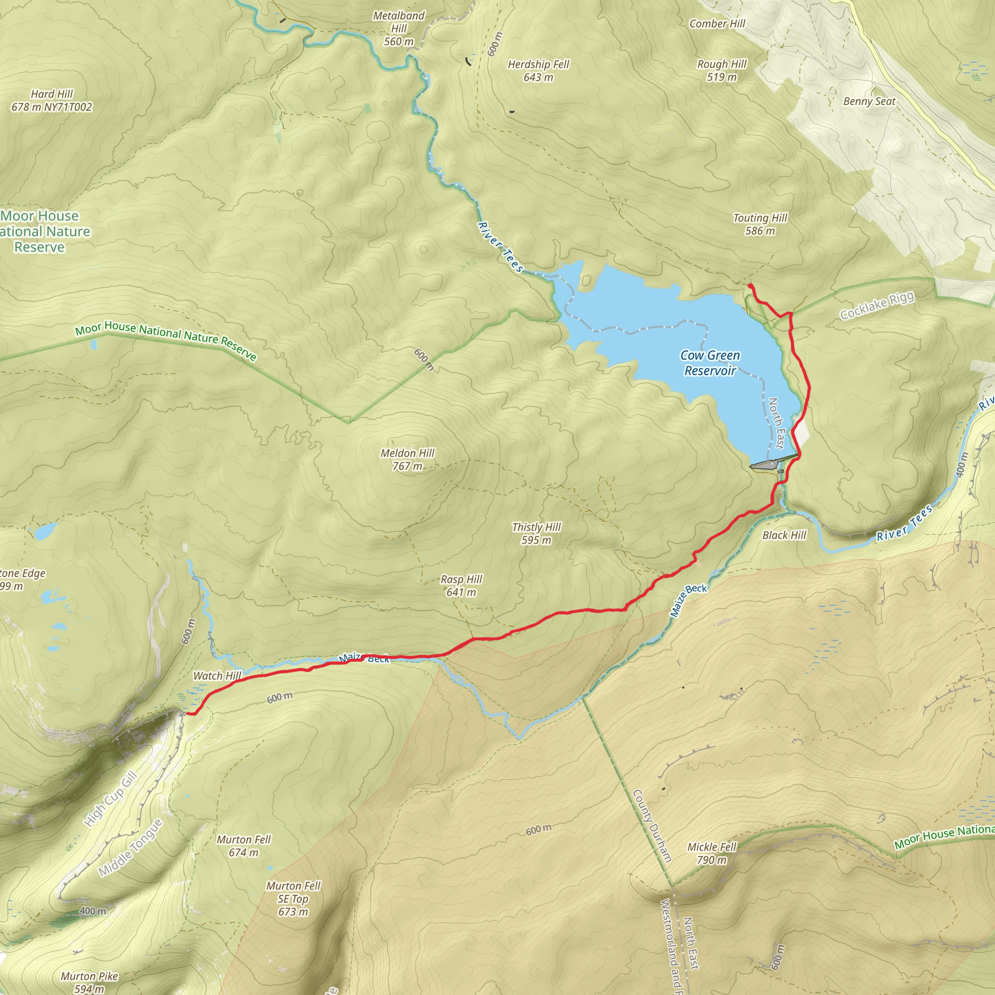
Starting near County Durham, England, the High Cap Nick from Cow Green Reservoir trail spans approximately 23 kilometers (14.3 miles) with an elevation gain of around 400 meters (1,312 feet). This out-and-back trail is estimated to be of medium difficulty, making it suitable for moderately experienced hikers. Getting There To reach the trailhead, you can drive to Cow Green Reservoir, which is accessible via the B6277 road. For those using public transport, the nearest significant town is Middleton-in-Teesdale. From there, you can take a local bus or taxi to the reservoir. The closest major city is Durham, from which you can take a train to Darlington and then a bus to Middleton-in-Teesdale. ### Trail Overview The trail begins at Cow Green Reservoir, a man-made lake known for its serene beauty and rich biodiversity. As you start your hike, you'll follow a well-marked path that initially runs parallel to the reservoir. The first few kilometers are relatively flat, allowing you to ease into the hike while enjoying the scenic views of the water and surrounding moorlands. ### Significant Landmarks and Points of Interest - **Cauldron Snout (Approx. 3 km / 1.9 miles in)**: One of the first major landmarks you'll encounter is Cauldron Snout, a dramatic waterfall formed by the River Tees. The waterfall cascades down a series of rocky steps, creating a spectacular sight and a great spot for a short break. - **High Force Waterfall (Approx. 8 km / 5 miles in)**: As you continue, you'll come across High Force, another impressive waterfall. This natural wonder is one of the highest in England, with water plunging 21 meters (69 feet) into a plunge pool below. The surrounding area is rich in flora and fauna, making it a perfect spot for nature enthusiasts. - **High Cap Nick (Approx. 11.5 km / 7.1 miles in)**: The trail's namesake, High Cap Nick, is the highest point of the hike. From here, you'll have panoramic views of the North Pennines Area of Outstanding Natural Beauty. The climb to this point is gradual but steady, so be prepared for a bit of a workout. ### Flora and Fauna The trail traverses through diverse habitats, including moorlands, woodlands, and riverbanks. Keep an eye out for native wildlife such as red grouse, curlews, and even the occasional otter near the water bodies. The area is also home to various plant species, including heather, bilberry, and rare alpine plants. ### Historical Significance The region around Cow Green Reservoir has a rich history. The reservoir itself was constructed in the late 1960s to supply water to the industries of Teesside. The surrounding moorlands have been inhabited since prehistoric times, and you may come across ancient stone circles and burial mounds along the way. ### Navigation and Safety Given the trail's length and remote sections, it's advisable to use a reliable navigation tool like HiiKER to ensure you stay on track. Weather conditions can change rapidly, so come prepared with appropriate clothing and gear. Always carry enough water and snacks, and inform someone of your hiking plans before you set out. This trail offers a blend of natural beauty, historical landmarks, and moderate physical challenge, making it a rewarding experience for those who undertake it.
What to expect?
rivers
scenic-views
waterfalls
Activity types
nature-trips
Comments and Reviews
User comments, reviews and discussions about the High Cup Nick from Cow Green Reservoir, England.
5.0
average rating out of 5
1 rating(s)

