Download
Preview
Add to list
More
11.4 km
~2 hrs 50 min
338 m
Point-to-Point
“Embark on a medium-difficulty 11 km hike through diverse landscapes, historical landmarks, and abundant wildlife.”
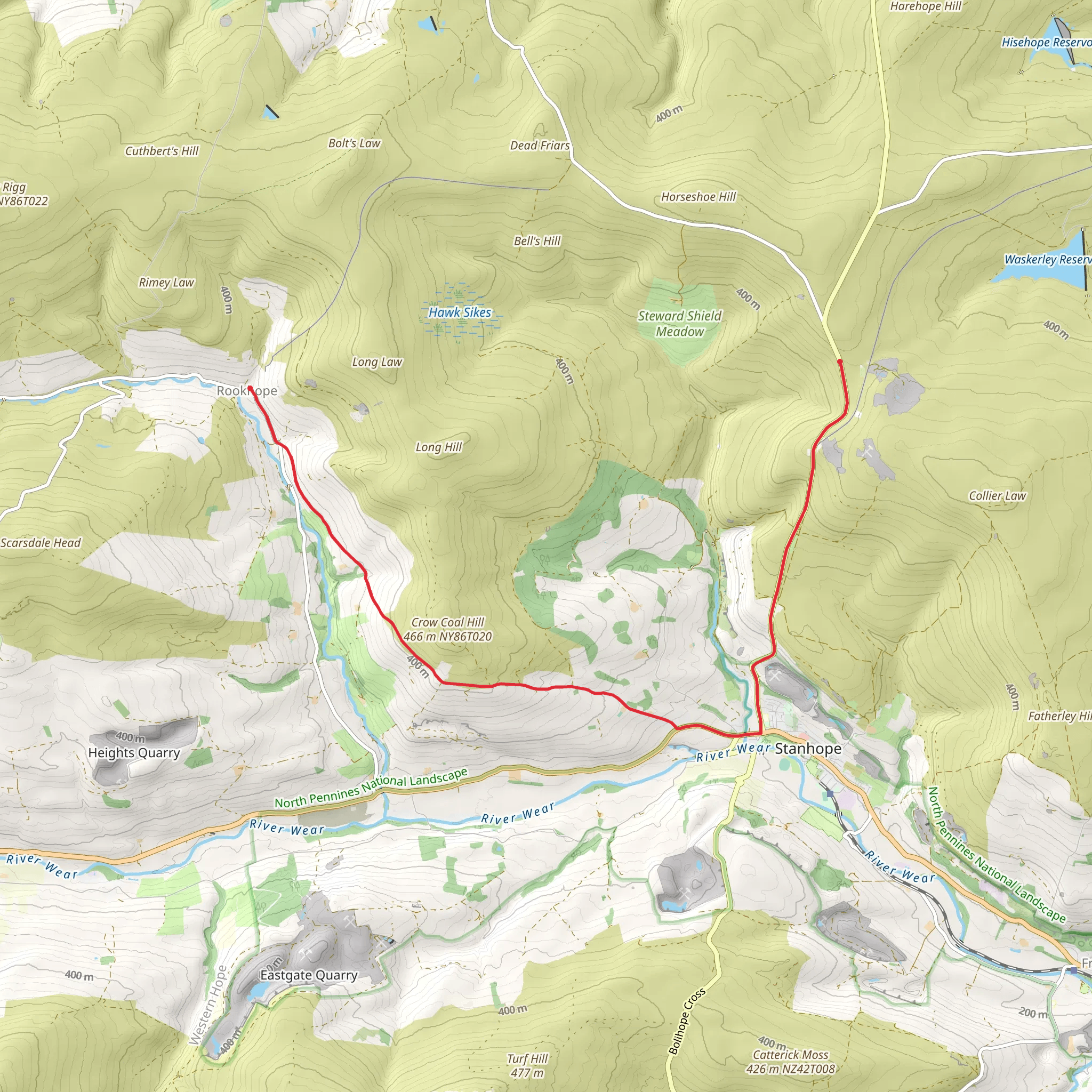
Starting near County Durham, England, the Bewdley Plain, Green Head, and Weather Head Walk is a captivating point-to-point trail stretching approximately 11 km (around 6.8 miles) with an elevation gain of about 300 meters (984 feet). This medium-difficulty hike offers a blend of natural beauty, historical landmarks, and diverse wildlife, making it a rewarding experience for hikers.
Getting There To reach the trailhead, you can either drive or use public transport. If driving, set your GPS to the nearest known address, which is close to the village of Stanhope in County Durham. For those using public transport, the nearest significant landmark is the Stanhope Railway Station, which is serviced by the Weardale Railway. From the station, it's a short taxi ride or a manageable walk to the trailhead.
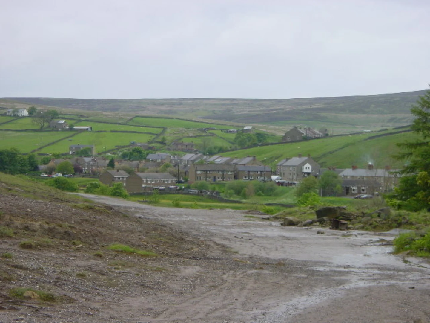
Trail Overview The trail begins with a gentle ascent, allowing you to ease into the hike. As you progress, the terrain becomes more varied, featuring a mix of open plains, wooded areas, and rocky outcrops. The initial section takes you through Bewdley Plain, a serene area known for its expansive views and rich biodiversity. Keep an eye out for local wildlife such as deer, rabbits, and a variety of bird species.
Key Landmarks and Sections
#### Green Head Around the 5 km (3.1 miles) mark, you'll reach Green Head. This area is notable for its lush greenery and the remnants of ancient stone walls, hinting at the region's historical significance. The elevation gain here is moderate, offering panoramic views of the surrounding countryside. It's an excellent spot for a short break and some photography.
#### Weather Head Continuing on, the trail leads you to Weather Head, approximately 8 km (5 miles) into the hike. This section is more challenging, with steeper inclines and rocky paths. The effort is well worth it, as the summit provides breathtaking views of the North Pennines. On a clear day, you can see for miles, making it a highlight of the hike.
Historical Significance The region around County Durham is steeped in history. The remnants of ancient stone walls and old farmsteads along the trail are a testament to the area's agricultural past. Additionally, the North Pennines have been designated as an Area of Outstanding Natural Beauty (AONB), reflecting their cultural and historical importance.
Navigation and Safety Given the varied terrain and potential for sudden weather changes, it's advisable to use a reliable navigation tool like HiiKER to stay on track. The trail is generally well-marked, but having a digital map can provide extra assurance. Wear sturdy hiking boots and bring layers, as the weather can be unpredictable.
Wildlife and Flora The trail is a haven for nature enthusiasts. In addition to the common wildlife, you might spot rare species like the red squirrel or the black grouse. The flora is equally diverse, with seasonal wildflowers adding splashes of color to the landscape.
Final Stretch The final section of the trail descends gradually, leading you through a mix of open fields and wooded areas before concluding near the village of Rookhope. This part of the hike is less strenuous, allowing you to wind down and reflect on the journey.
By the end of the hike, you'll have experienced a rich tapestry of natural beauty, historical landmarks, and diverse wildlife, making the Bewdley Plain, Green Head, and Weather Head Walk a memorable adventure.
What to expect?
Activity types
Comments and Reviews
User comments, reviews and discussions about the Bewdley Plain, Green Head and Weather Head Walk, England.
average rating out of 5
0 rating(s)

