Download
Preview
Add to list
More
17.4 km
~2 days
537 m
Multi-Day
“Embark on a historic Cornish hike blending coastal splendor with Arthurian myth and hearty challenge.”
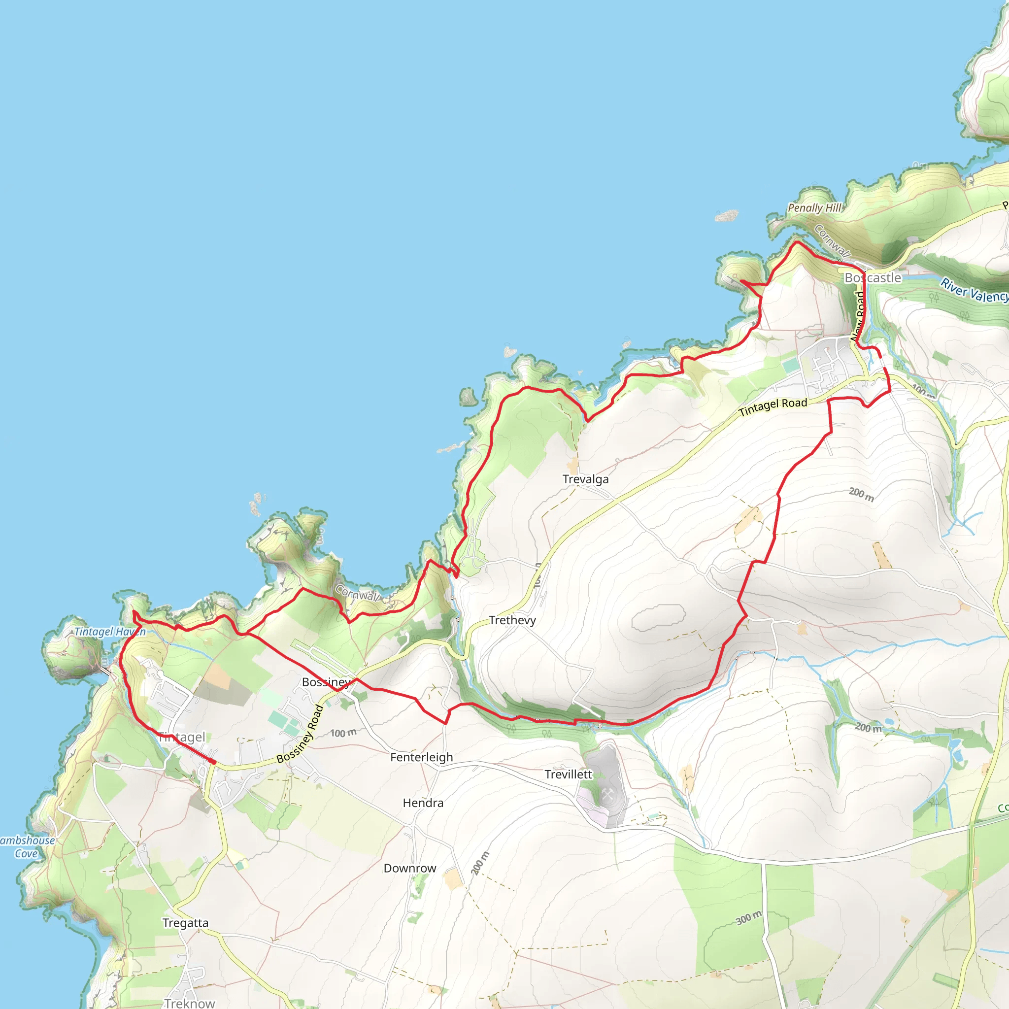
Embarking on the Tintagel to Boscastle trail, you'll traverse approximately 17 kilometers (about 10.5 miles) with an elevation gain of around 500 meters (roughly 1640 feet), offering a medium difficulty level that caters to hikers with some experience. This loop trail, nestled near Cornwall, England, promises a blend of coastal views, historical sites, and a chance to immerse yourself in the rugged beauty of the Cornish landscape.
Getting to the Trailhead
To reach the starting point of the hike, you can drive to Tintagel, where parking is available near the trailhead. For those opting for public transport, buses serve the area and can drop you off in the vicinity of Tintagel, from where you can make your way to the trail's commencement.
The Journey Begins
Setting out from Tintagel, a village steeped in Arthurian legend, you'll be greeted by the dramatic ruins of Tintagel Castle, perched on the cliffs above the Atlantic. The castle, accessible via a footbridge, is said to be the birthplace of King Arthur and is a must-see for history enthusiasts.
Coastal Vistas and Wildlife
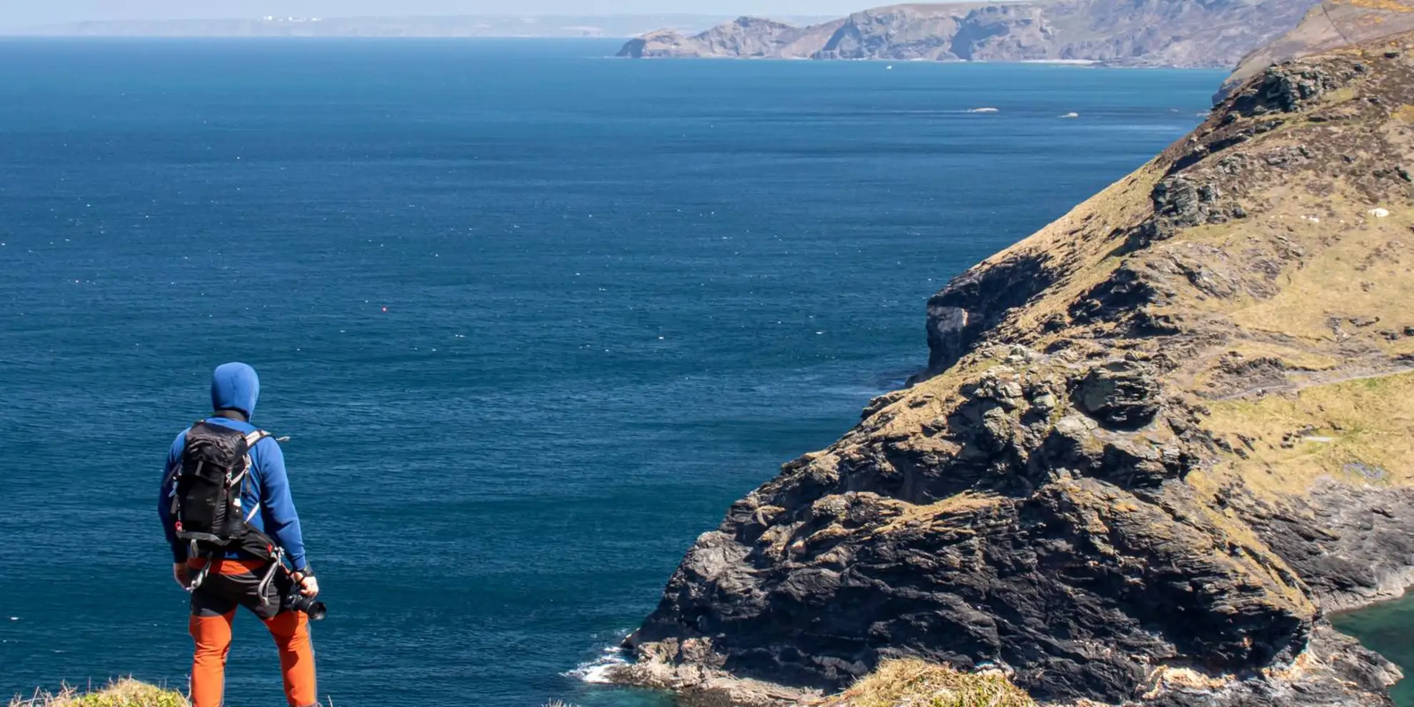
As you follow the coastal path northward, the trail offers expansive views of the rugged cliffs and the vast ocean. Keep an eye out for seabirds such as puffins and gannets, especially during the breeding season. The trail can be challenging with steep ascents and descents, but the panoramic views are a rewarding backdrop.
Valency Valley and Boscastle Harbour
Upon reaching the halfway mark, you'll descend into the lush Valency Valley, leading you towards the picturesque fishing village of Boscastle. Here, you can explore the historic harbor, which has been a safe haven for ships over the centuries and was famously flooded in 2004. The village itself is a charming spot to rest and refuel before continuing your hike.
Return Journey
The loop back to Tintagel takes you inland, where the terrain shifts to rolling hills and pastoral landscapes. This section is less strenuous, allowing you to enjoy the tranquility of the countryside. As you complete the loop, the elevation gain is gradual, and the path brings you back to the starting point in Tintagel.
Flora and Historical Significance
Throughout the hike, you'll encounter a variety of plant life, including coastal heath and wildflowers. The area is also rich in history, with remnants of ancient settlements and Bronze Age barrows dotting the landscape. The trail not only offers a physical challenge but also a journey through time, connecting you to the myths and stories of Cornwall's past.
Navigation
For navigation purposes, HiiKER is an excellent tool to use on this trail. It will help you stay on track and provide detailed information about the route, ensuring a safe and enjoyable hiking experience.
Preparing for the Hike
Be sure to pack adequate water, snacks, and weather-appropriate clothing, as conditions can change rapidly along the coast. Sturdy hiking boots are recommended due to the uneven terrain and potentially muddy inland paths. Always check the weather forecast before setting out and be prepared for the challenging sections of the trail.
By following this guide, hikers can fully prepare for the Tintagel to Boscastle trail, ensuring a memorable adventure through one of Cornwall's most scenic and historically rich regions.
What to expect?
Activity types
Comments and Reviews
User comments, reviews and discussions about the Tintagel to Boscastle, England.
4.5
average rating out of 5
2 rating(s)

