Download
Preview
Add to list
More
19.7 km
~1 day 0 hrs
759 m
Point-to-Point
“Experience stunning coastal views, historic landmarks, and diverse wildlife on the moderately challenging Portloe to Mevagissey Spice Walk.”
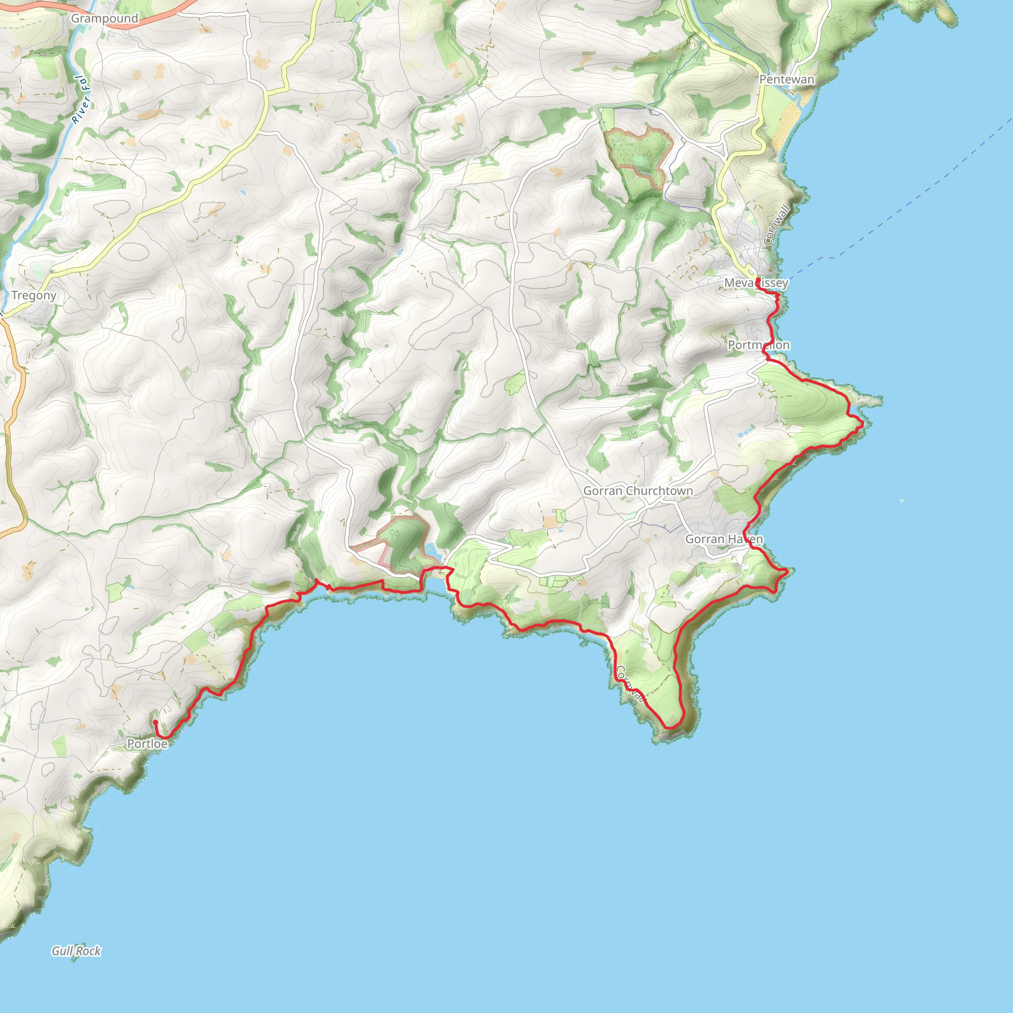
Starting near the picturesque village of Portloe in Cornwall, England, the Portloe to Mevagissey Spice Walk stretches approximately 20 km (12.4 miles) with an elevation gain of around 700 meters (2,297 feet). This point-to-point trail offers a medium difficulty rating, making it suitable for moderately experienced hikers.
Getting There To reach the trailhead in Portloe, you can either drive or use public transport. If driving, head towards the village of Portloe, which is accessible via the A3078 from Tregony. For those using public transport, the nearest major town is Truro, which has a train station. From Truro, you can take a bus to Portloe, with services running regularly.
Trail Overview The trail begins in Portloe, a charming fishing village known for its narrow streets and traditional Cornish cottages. As you set off, you'll immediately be greeted by stunning coastal views. The first section of the trail involves a moderate climb, gaining approximately 150 meters (492 feet) in elevation over the first 3 km (1.9 miles). This initial ascent offers panoramic views of the English Channel and the rugged Cornish coastline.
Key Landmarks and Sections #### Nare Head Around 5 km (3.1 miles) into the hike, you'll reach Nare Head. This prominent headland offers breathtaking views and is a great spot for a short break. The area is rich in history, with remnants of World War II bunkers that once served as lookout points.
#### Carne and Pendower Beaches Continuing along the trail, you'll descend towards Carne and Pendower Beaches, located approximately 8 km (5 miles) from the start. These sandy beaches are perfect for a quick rest or even a swim if the weather permits. The descent to the beaches involves a drop of about 100 meters (328 feet), so be prepared for a steep but manageable section.
#### Dodman Point At around the 15 km (9.3 miles) mark, you'll encounter Dodman Point, the highest headland on the south Cornish coast. Standing at 114 meters (374 feet) above sea level, it offers expansive views and is home to an ancient Iron Age hill fort. This section of the trail is particularly scenic, with wildflowers and diverse birdlife.
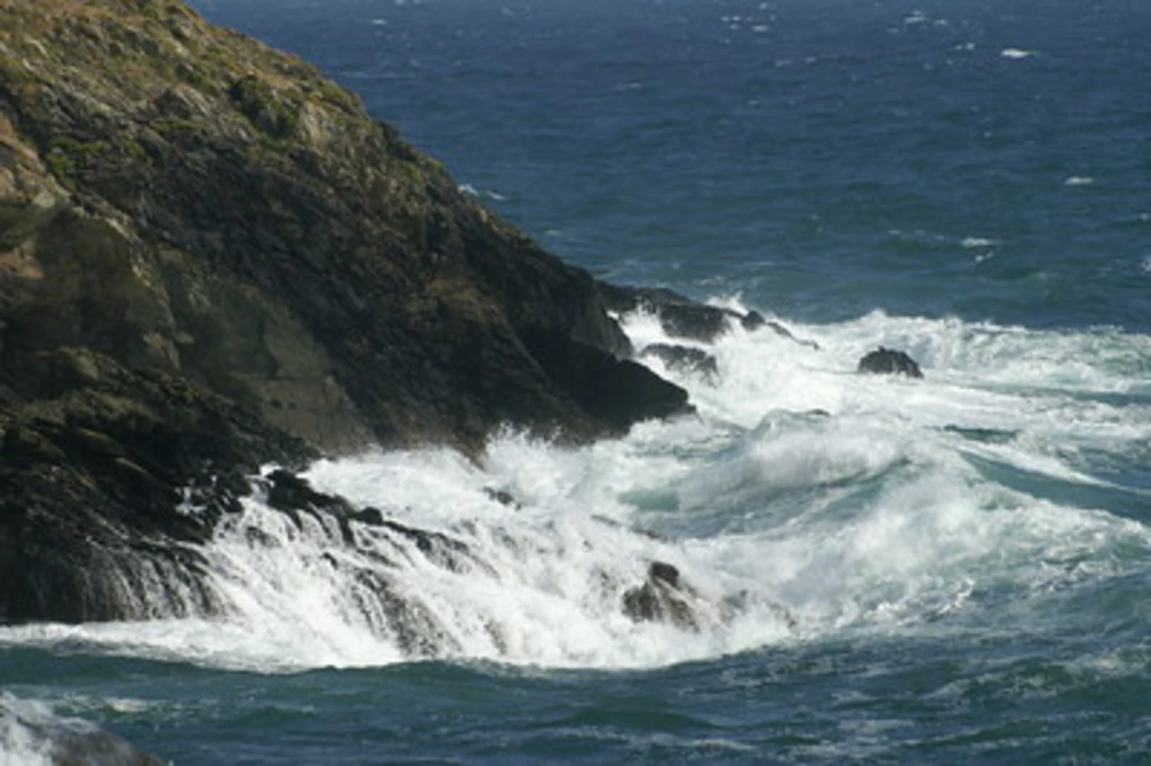
Wildlife and Nature The trail is abundant with wildlife, including seabirds like gulls and cormorants. You might also spot seals basking on the rocks below. The coastal path is lined with wildflowers, especially in the spring and summer months, adding vibrant colors to your hike.
Final Stretch to Mevagissey The last 5 km (3.1 miles) of the trail involve a series of gentle ascents and descents, leading you through lush woodlands and open fields. As you approach Mevagissey, the trail levels out, making for a pleasant end to your hike. Mevagissey itself is a historic fishing village with narrow streets, a bustling harbor, and plenty of options for refreshments.
Navigation For navigation, it's highly recommended to use HiiKER, which provides detailed maps and real-time updates to ensure you stay on track. The trail is well-marked, but having a reliable navigation tool can enhance your hiking experience.
Historical Significance The region is steeped in history, from ancient hill forts to remnants of wartime defenses. The coastal path itself has been used for centuries, originally serving as a route for fishermen and traders. The villages of Portloe and Mevagissey have retained much of their historical charm, offering a glimpse into Cornwall's rich maritime heritage.
This trail offers a blend of natural beauty, historical landmarks, and moderate physical challenge, making it a rewarding experience for those who undertake it.
What to expect?
Activity types
Comments and Reviews
User comments, reviews and discussions about the Portloe to Mevagissey Spice Walk, England.
4.75
average rating out of 5
8 rating(s)

