Download
Preview
Add to list
More
11.4 km
~2 hrs 54 min
371 m
Out and Back
“Explore Cornwall's scenic coastal trail from Portscatho, rich in history, wildlife, and moderate hiking challenges.”
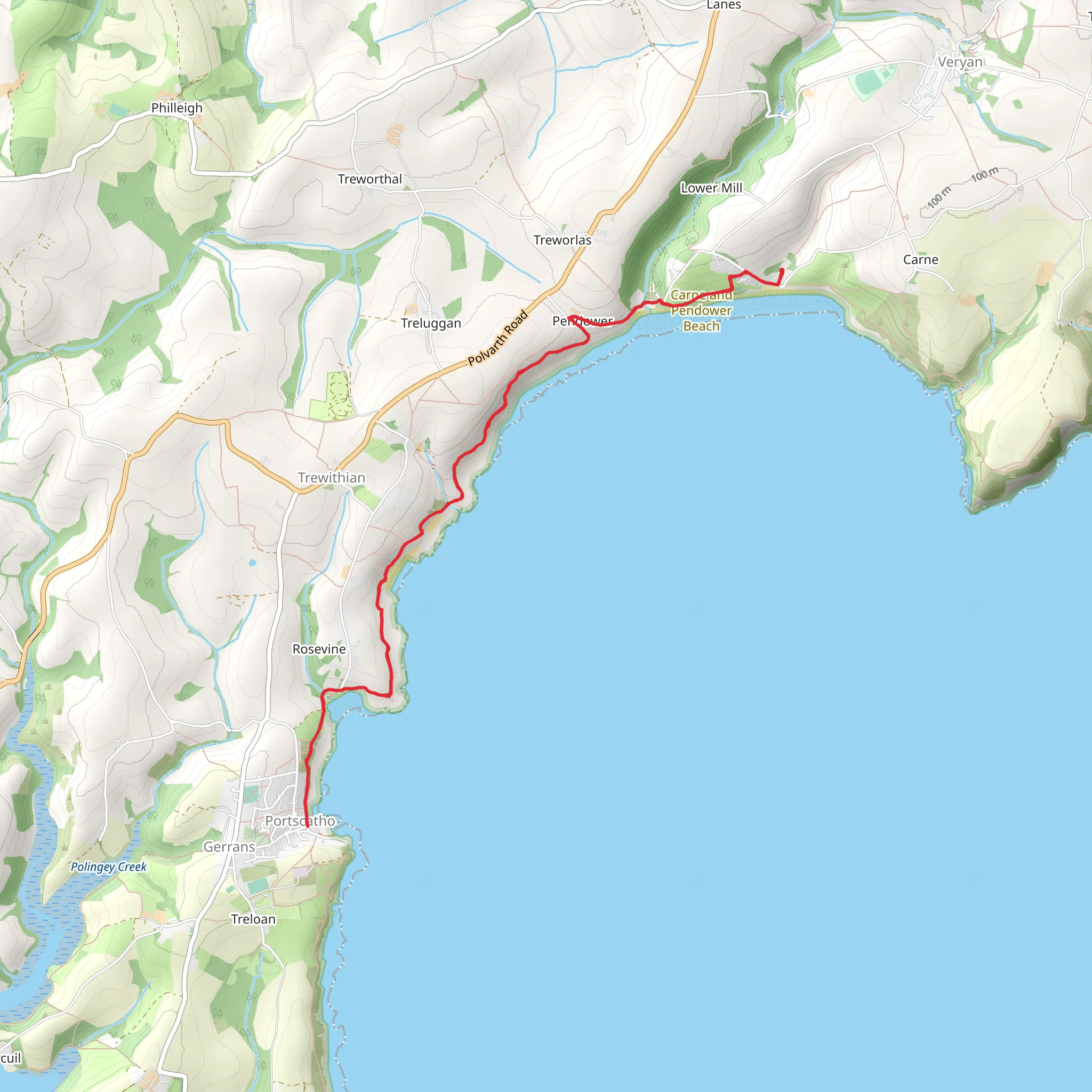
Starting near the picturesque village of Portscatho in Cornwall, England, this 11 km (approximately 6.8 miles) out-and-back trail offers a delightful mix of coastal scenery, historical landmarks, and diverse wildlife. With an elevation gain of around 300 meters (approximately 984 feet), the trail is rated as medium difficulty, making it suitable for moderately experienced hikers.
Getting There To reach the trailhead, you can drive to Portscatho, where parking is available near the village center. If you prefer public transport, take a bus to Portscatho from Truro, which is well-connected by train to major cities. The nearest significant landmark to the trailhead is the Portscatho Post Office.
Trail Overview The trail begins in Portscatho and heads southwest along the South West Coast Path. The initial section is relatively flat, allowing you to ease into the hike while enjoying stunning views of Gerrans Bay. After about 1.5 km (approximately 0.9 miles), you'll reach the first significant landmark, the historic St. Anthony's Head, which offers panoramic views of the coastline and the English Channel.
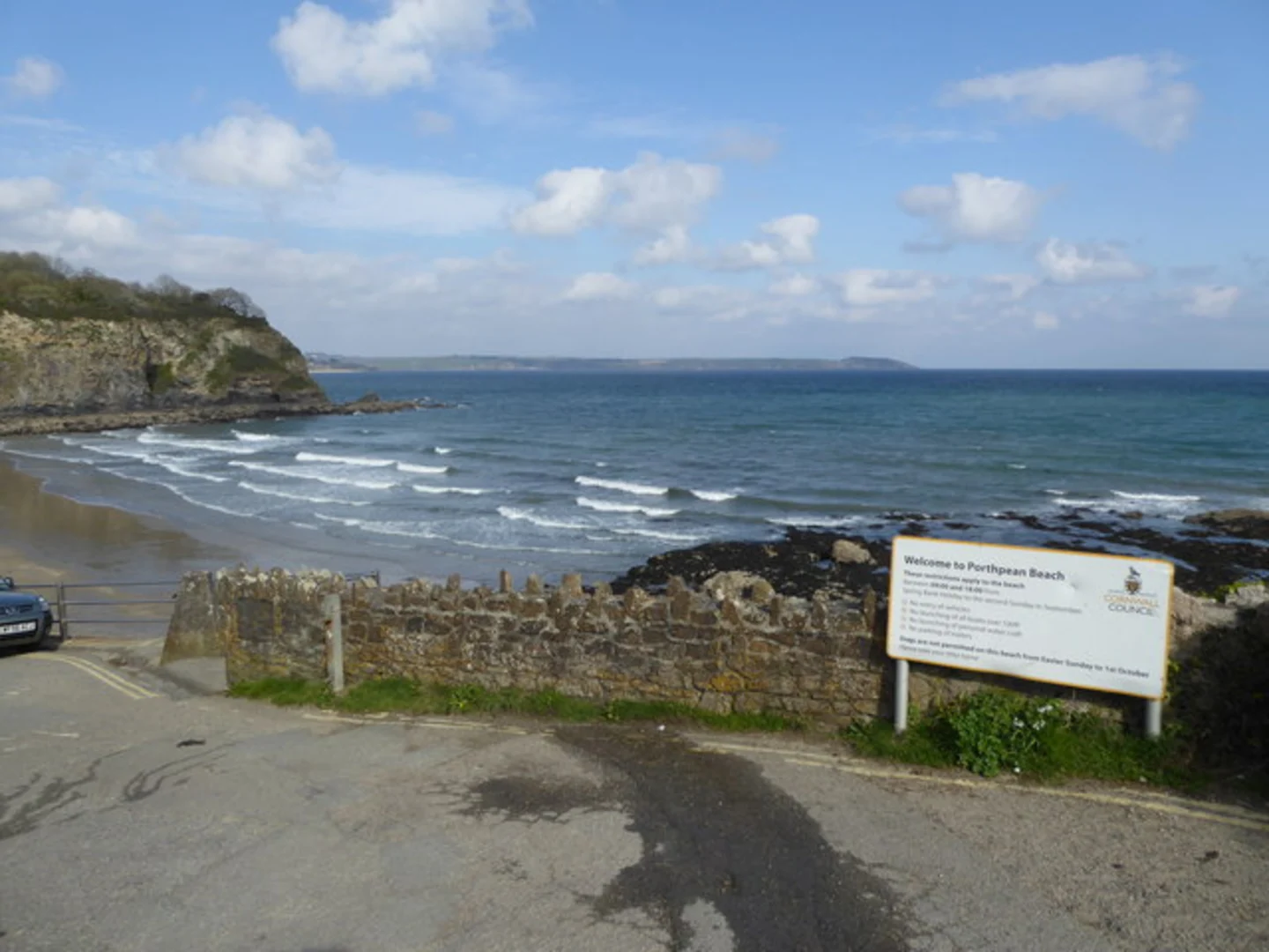
Carne Beach Continuing along the coast, the trail takes you to Carne Beach, a serene and sandy stretch perfect for a quick rest or a picnic. This section of the trail is relatively easy, with minimal elevation gain. Carne Beach is known for its clear waters and is a great spot for birdwatching, especially during the migratory seasons.
Pendower Beach From Carne Beach, the trail ascends slightly as you make your way to Pendower Beach, located about 4 km (approximately 2.5 miles) from the starting point. The elevation gain here is around 50 meters (approximately 164 feet), offering a moderate challenge. Pendower Beach is part of the Roseland Peninsula and is a designated Area of Outstanding Natural Beauty. The beach is backed by low cliffs and dunes, providing a habitat for various coastal plants and wildlife.
Porthcurnick Beach The final stretch of the trail leads you to Porthcurnick Beach, another 2 km (approximately 1.2 miles) from Pendower Beach. This section involves a steeper climb, with an elevation gain of around 100 meters (approximately 328 feet). Porthcurnick Beach is famous for its rock pools and is a great spot for exploring marine life. The Hidden Hut, a popular beachside café, is located here and offers a variety of refreshments.
Historical Significance The Roseland Peninsula, where this trail is located, has a rich history dating back to the Iron Age. The area is dotted with ancient forts and settlements, and the coastal path itself has been used for centuries by fishermen and traders. St. Anthony's Head, in particular, has historical significance as a strategic lookout point during both World Wars.
Wildlife and Nature The trail offers ample opportunities to observe local wildlife. Keep an eye out for seabirds such as gannets, cormorants, and oystercatchers. The coastal waters are home to seals and occasionally dolphins, especially around St. Anthony's Head. The diverse plant life includes coastal wildflowers, grasses, and shrubs, making the trail a vibrant experience throughout the year.
Navigation For navigation, it is highly recommended to use HiiKER, which provides detailed maps and real-time updates to ensure you stay on the right path. The trail is well-marked, but having a reliable navigation tool can enhance your hiking experience.
This trail offers a perfect blend of natural beauty, historical intrigue, and moderate physical challenge, making it a must-visit for hikers exploring Cornwall.
What to expect?
Activity types
Comments and Reviews
User comments, reviews and discussions about the Carne and Pendower Beach and Porthcurnick Walk, England.
average rating out of 5
0 rating(s)

